• Cymraeg
  • Beta   Accessibility
    coflein logo
    • Home
    • About
    • Search
    • Galleries
    • Map
    • Help
    • Contact / Order

    • Search Results
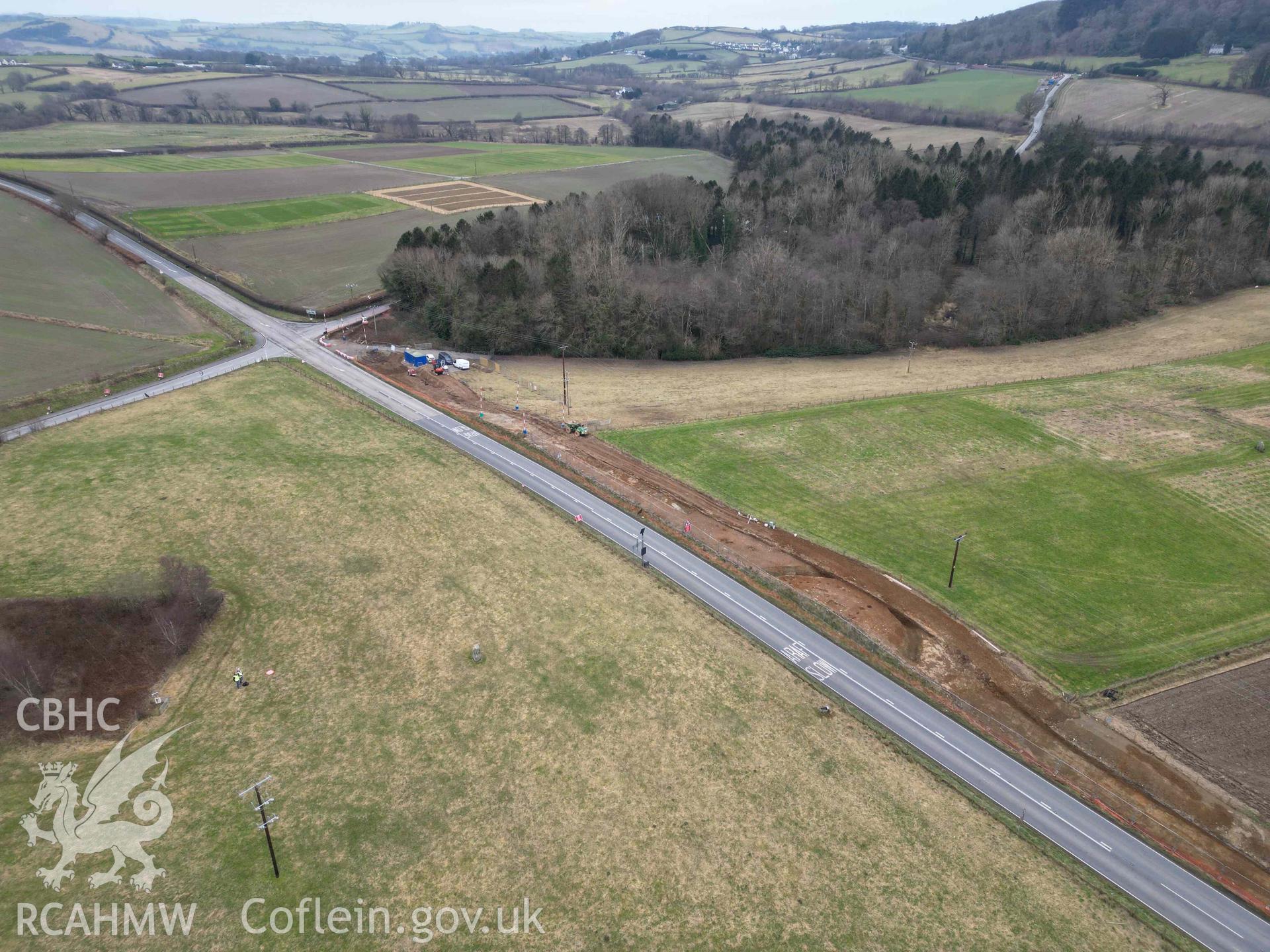
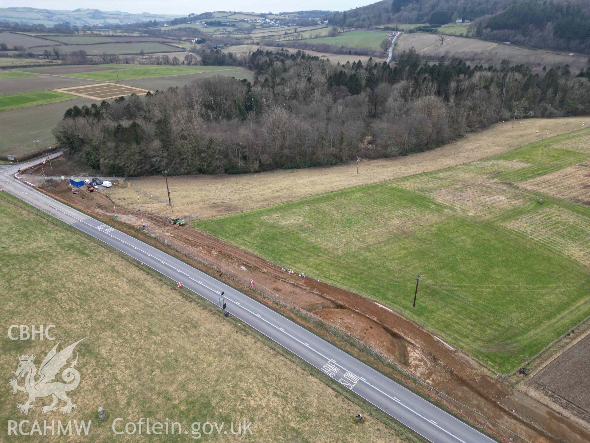
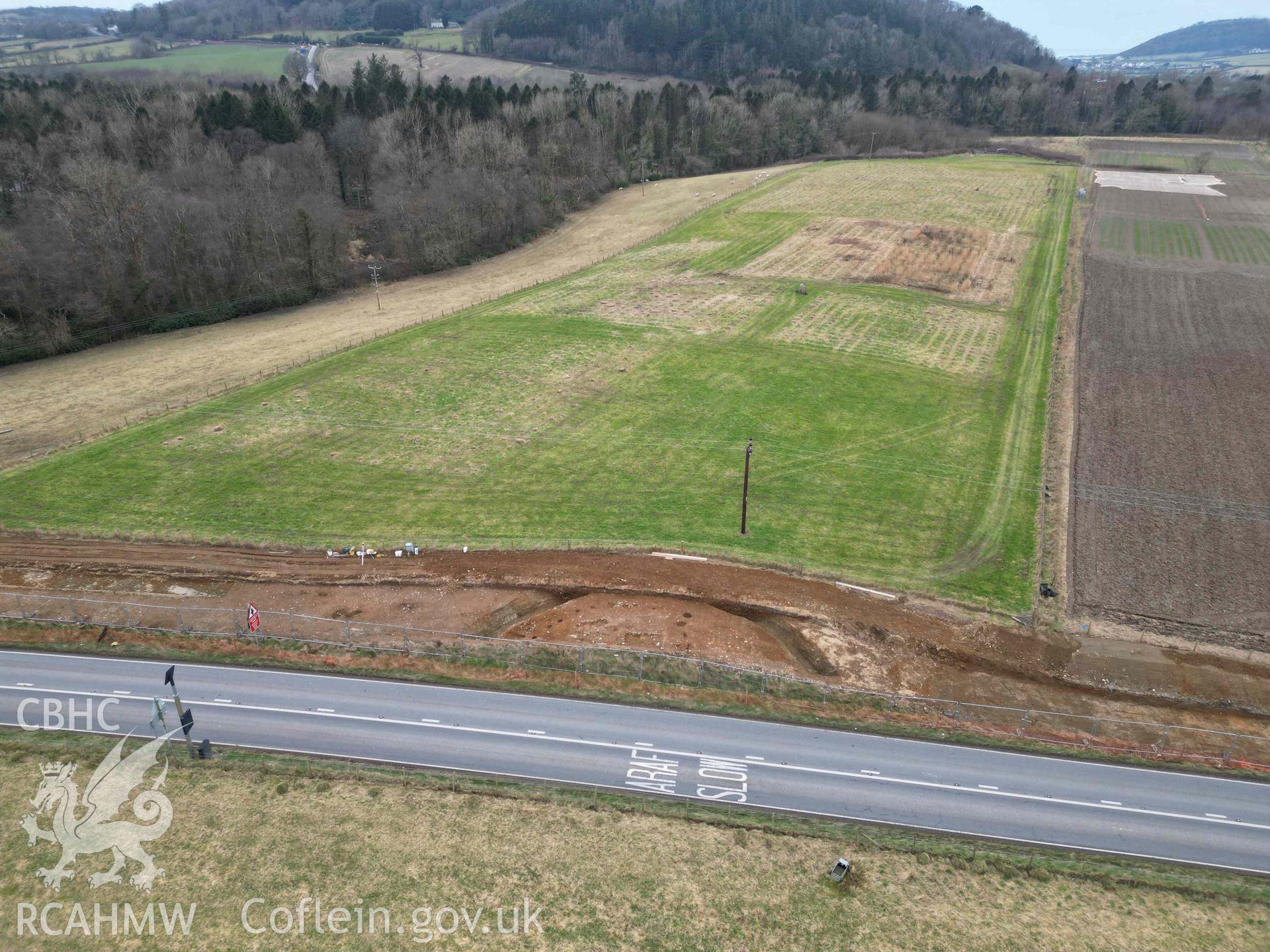
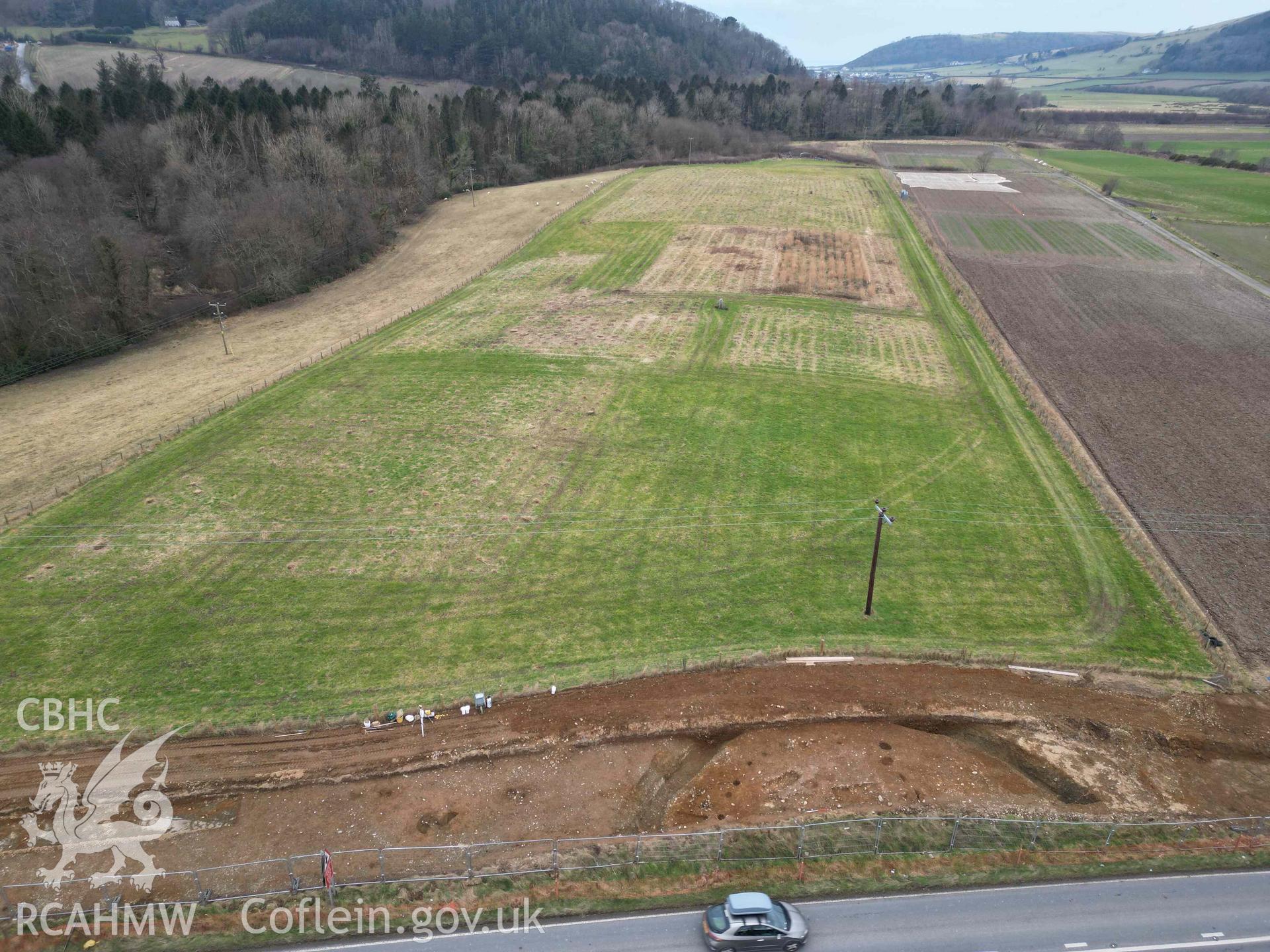
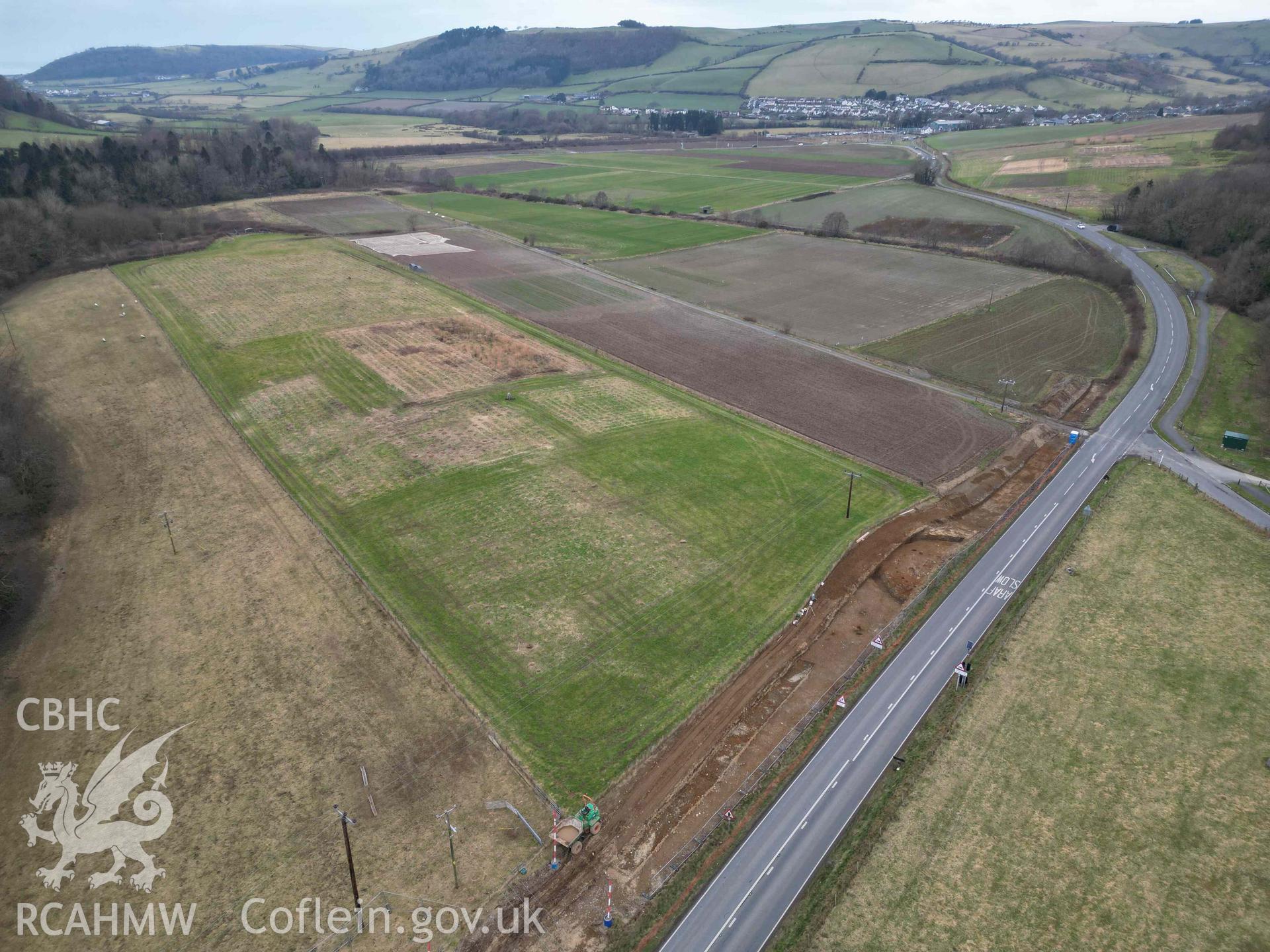
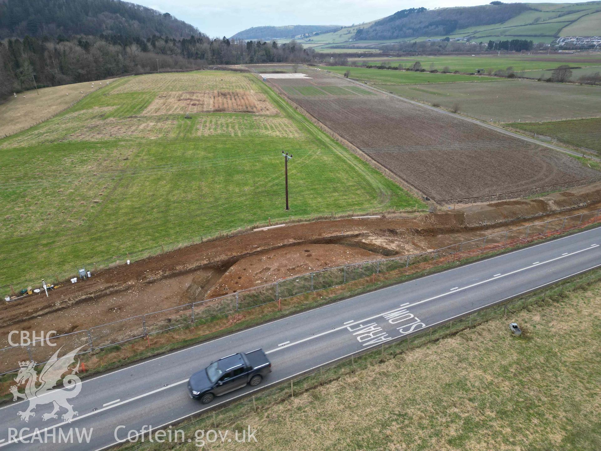
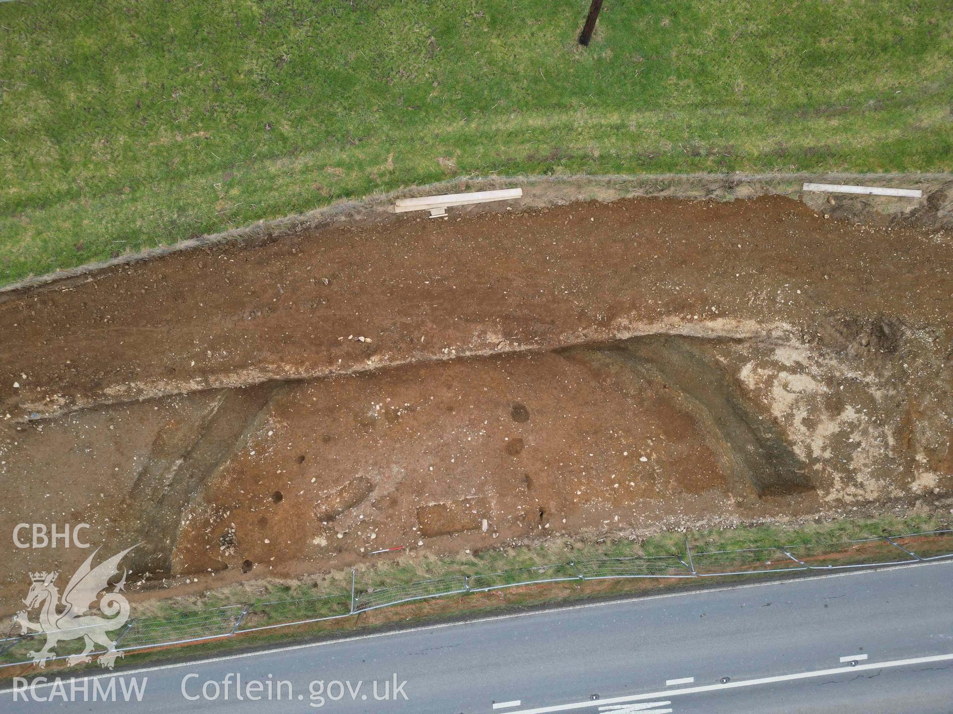
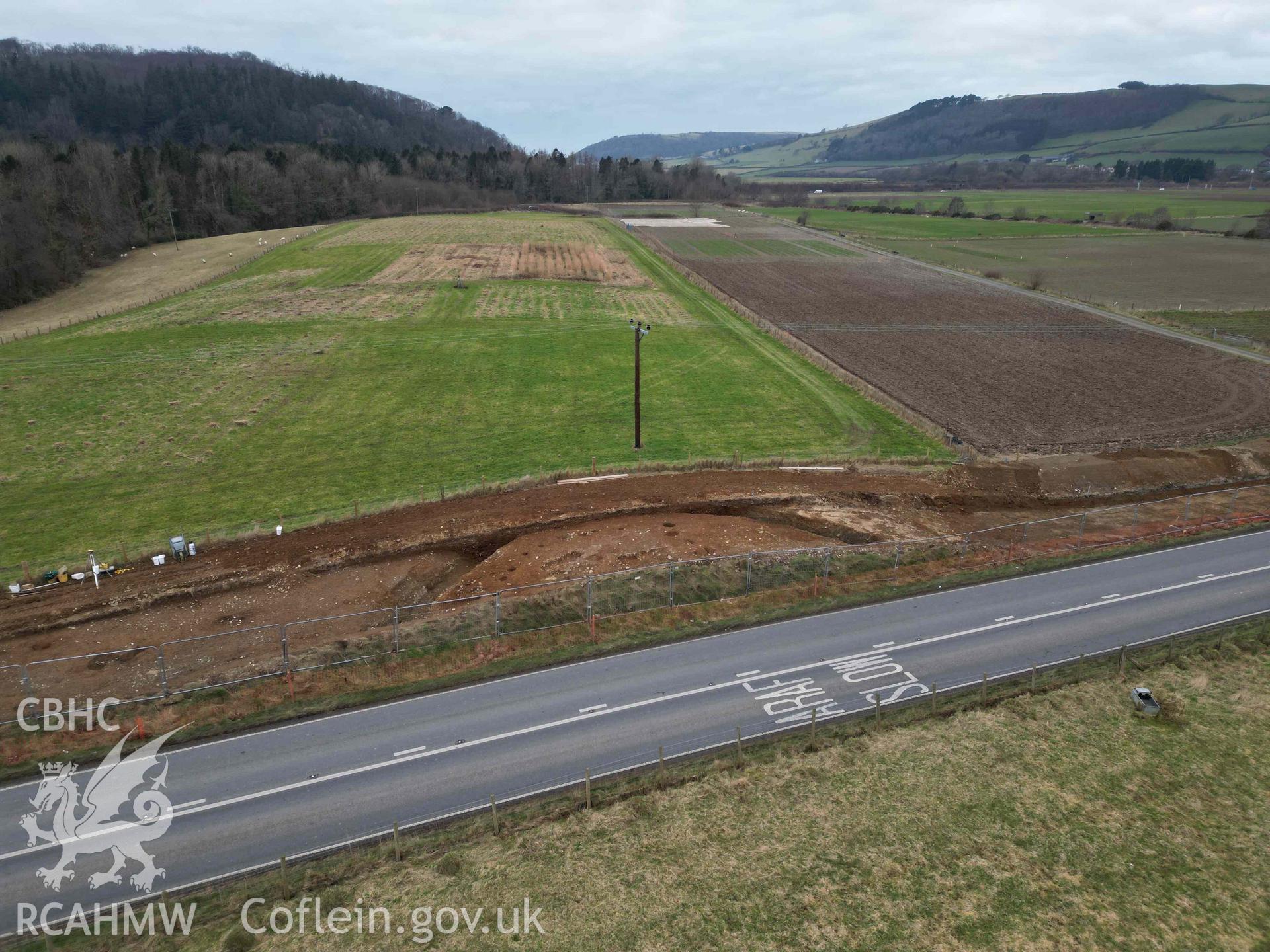
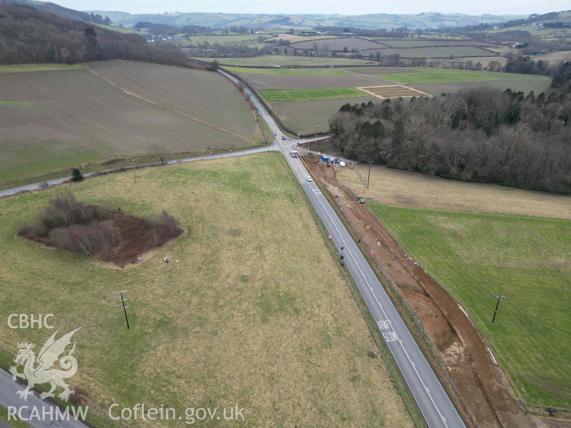
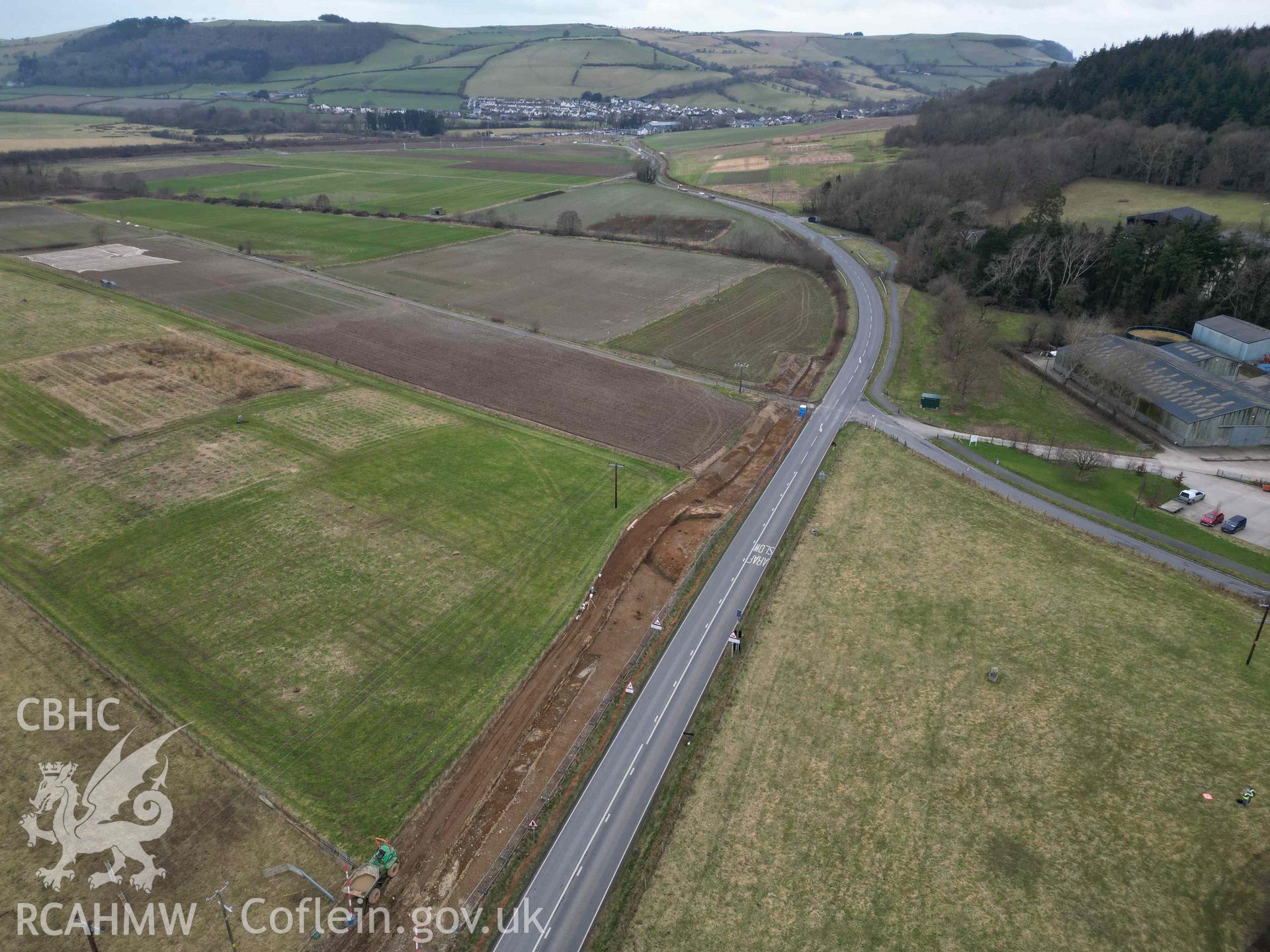
    • Gogerddan Barrow Cemetery, Excavated Ring Ditch West of Triangle
    Details
    Images
    Related Sites
    Related Archives
    Loading Filter Panel
    per page
    • 1
    • 2
    Plas Gogerddan, site of multi-period burial and ritual ground. Drone aerial view looking south-west with excavated ring ditch (NPRN 424025) and Heneb Dyfed barrow excavations from north-east.Plas Gogerddan, drone aerial view of Heneb Dyfed barrow excavations from north-eastPlas Gogerddan, drone aerial view of Heneb Dyfed barrow excavations from north-eastPlas Gogerddan,  site of multi-period burial and ritual ground. Drone aerial view looking west over excavated ring ditch and Heneb Dyfed barrow excavations from east.Plas Gogerddan, drone aerial view of Heneb Dyfed barrow excavations from south-eastPlas Gogerddan, drone aerial view of Heneb Dyfed barrow excavations from eastPlas Gogerddan, drone vertical aerial view of Heneb Dyfed barrow excavationPlas Gogerddan, drone aerial view of Heneb Dyfed barrow excavations from eastPlas Gogerddan, site of multi-period burial and ritual ground. Drone aerial view looking south over triangle with excavated ring ditch NPRN 424025 and aerial view of Heneb Dyfed barrow excavations from the north.Plas Gogerddan, site of multi-period burial and ritual ground. Drone aerial view looking north over triangle with excavated ring ditch NPRN 424025 and drone aerial view of Heneb Dyfed barrow excavations from south.
    • Accessibility
    • Privacy Policy
    • Glossary
    • Contact
    • Legals
    • Help
    • Sitemap
    • Royal Commision website
    RCAHMW logo
    Comisiwn Brenhinol
    Henebion Cymru


    Royal Commission on the Ancient and
    Historical Monuments of Wales
    Connect with us
    dragon logo Facebook logo Twitter logo
    © 2021 Non-commercial Government Licence
    admin signpost page