Disgrifiad
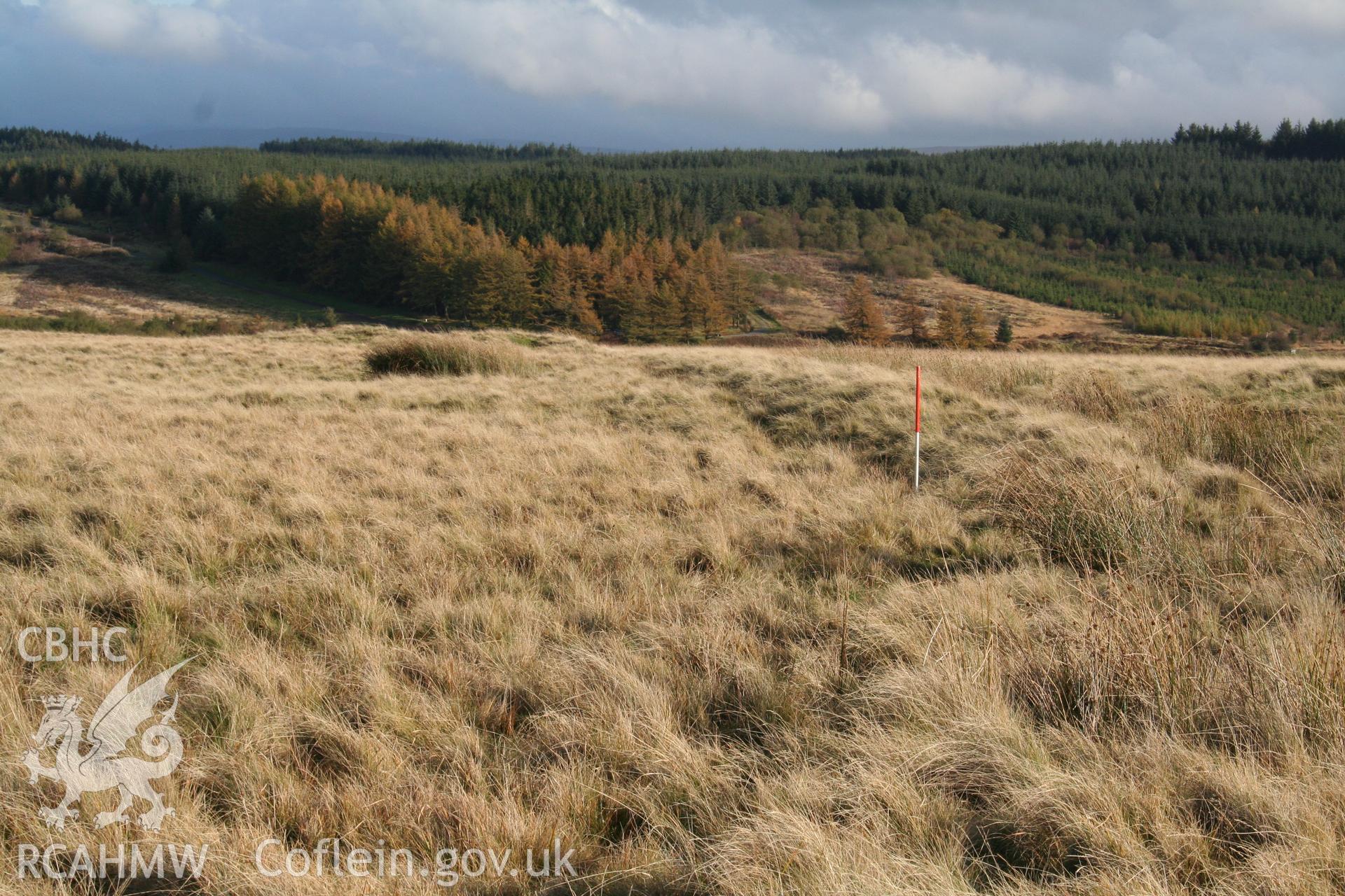
Southernmost (outer) extent of intake bank looking eastwards (towards cairn NPRN 84428 on line of bank); 1m scale.
Enw Casgliad
Investigators' Digital Photography
Cychwynnwr
David K. Leighton, RCAHMW
 Opsiynau lawrlwytho a prynu
 Opsiynau lawrlwytho a prynu