• Cymraeg
  • Beta   Accessibility
    coflein logo
    • Home
    • About
    • Search
    • Galleries
    • Map
    • Help
    • Contact / Order

    • Search Results
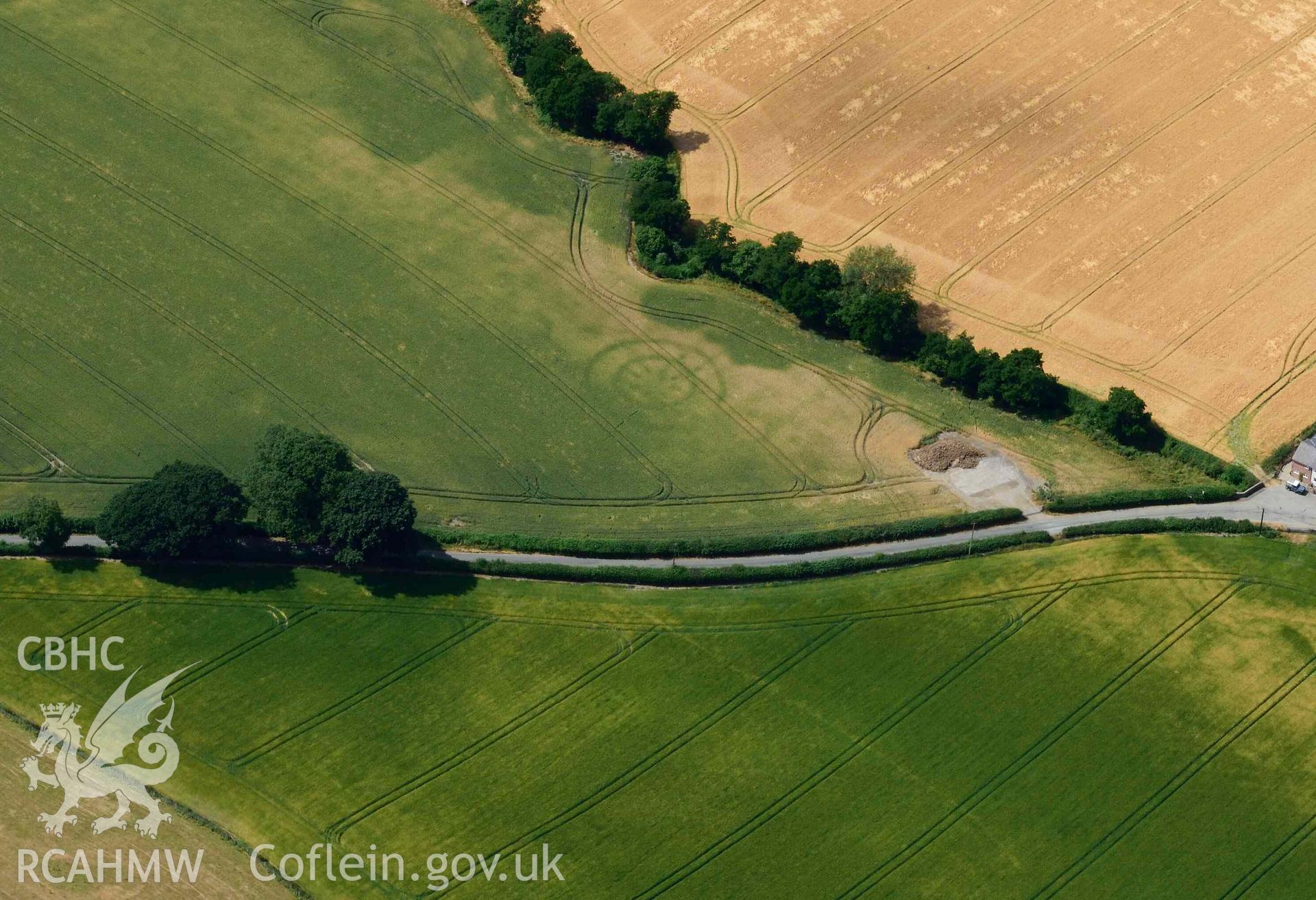
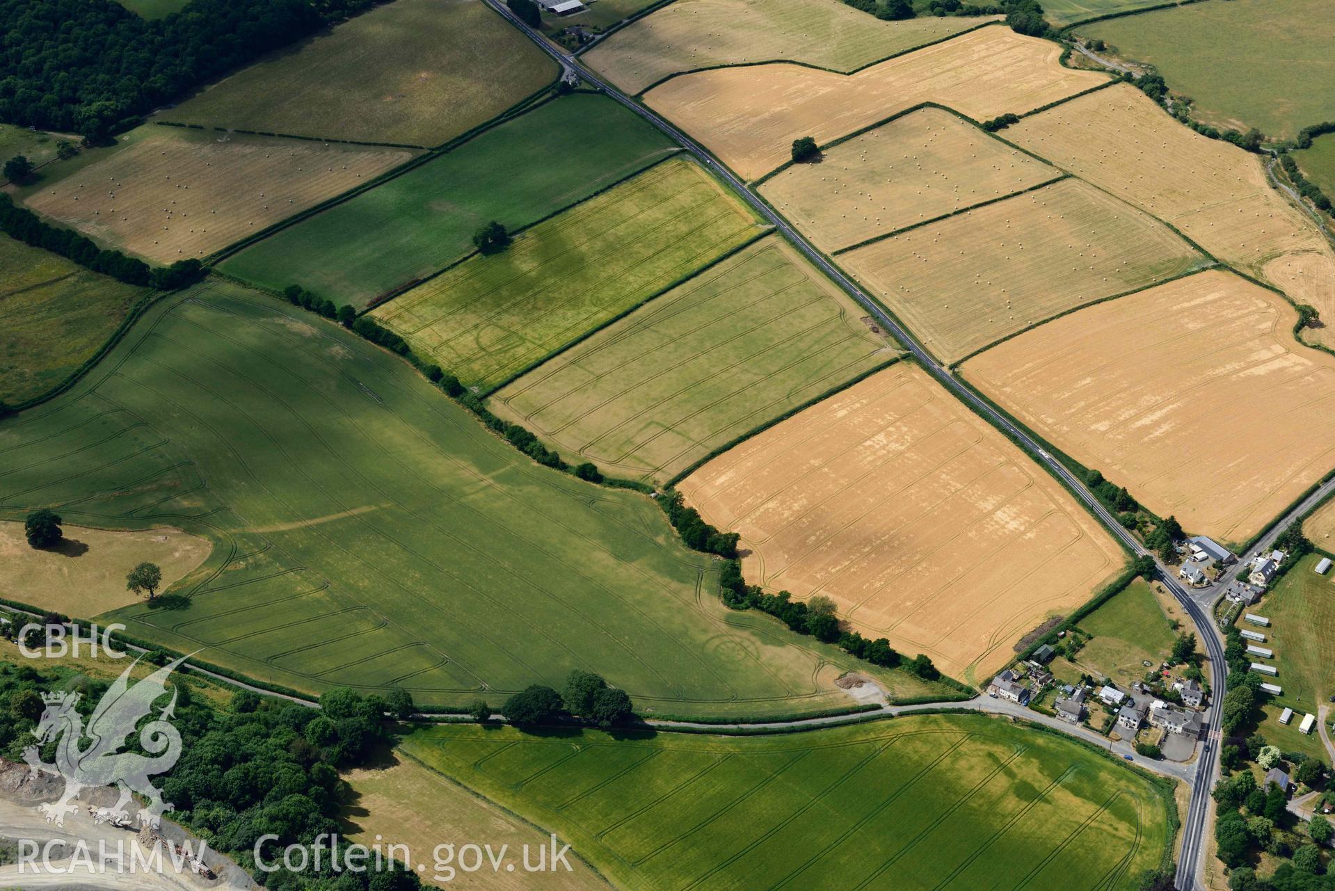
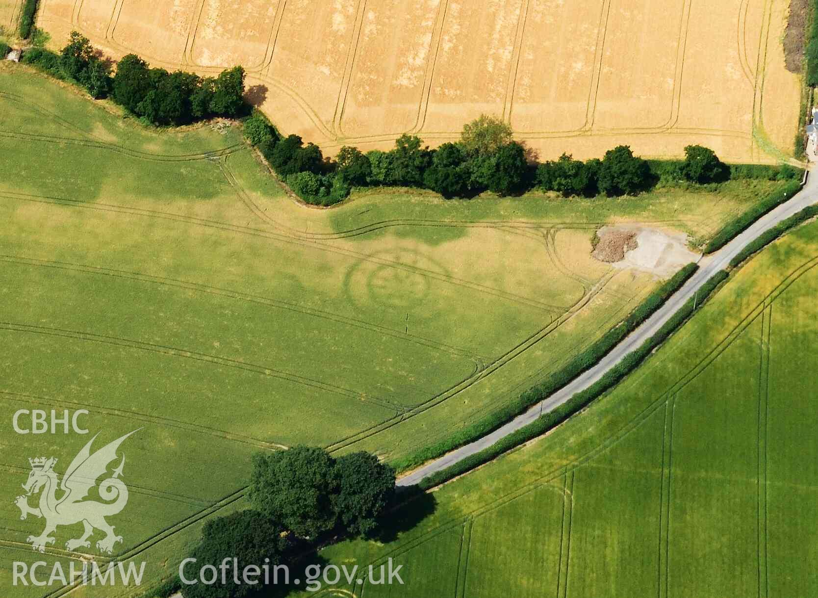
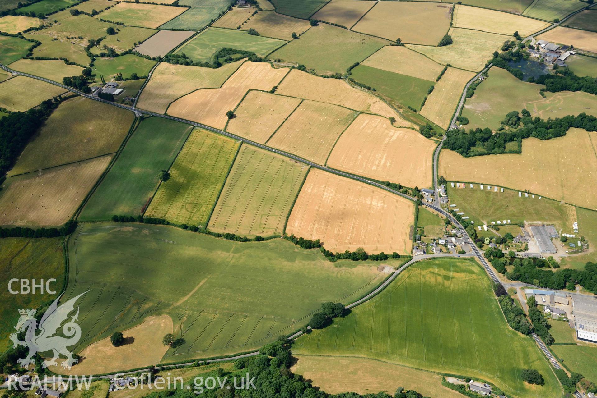
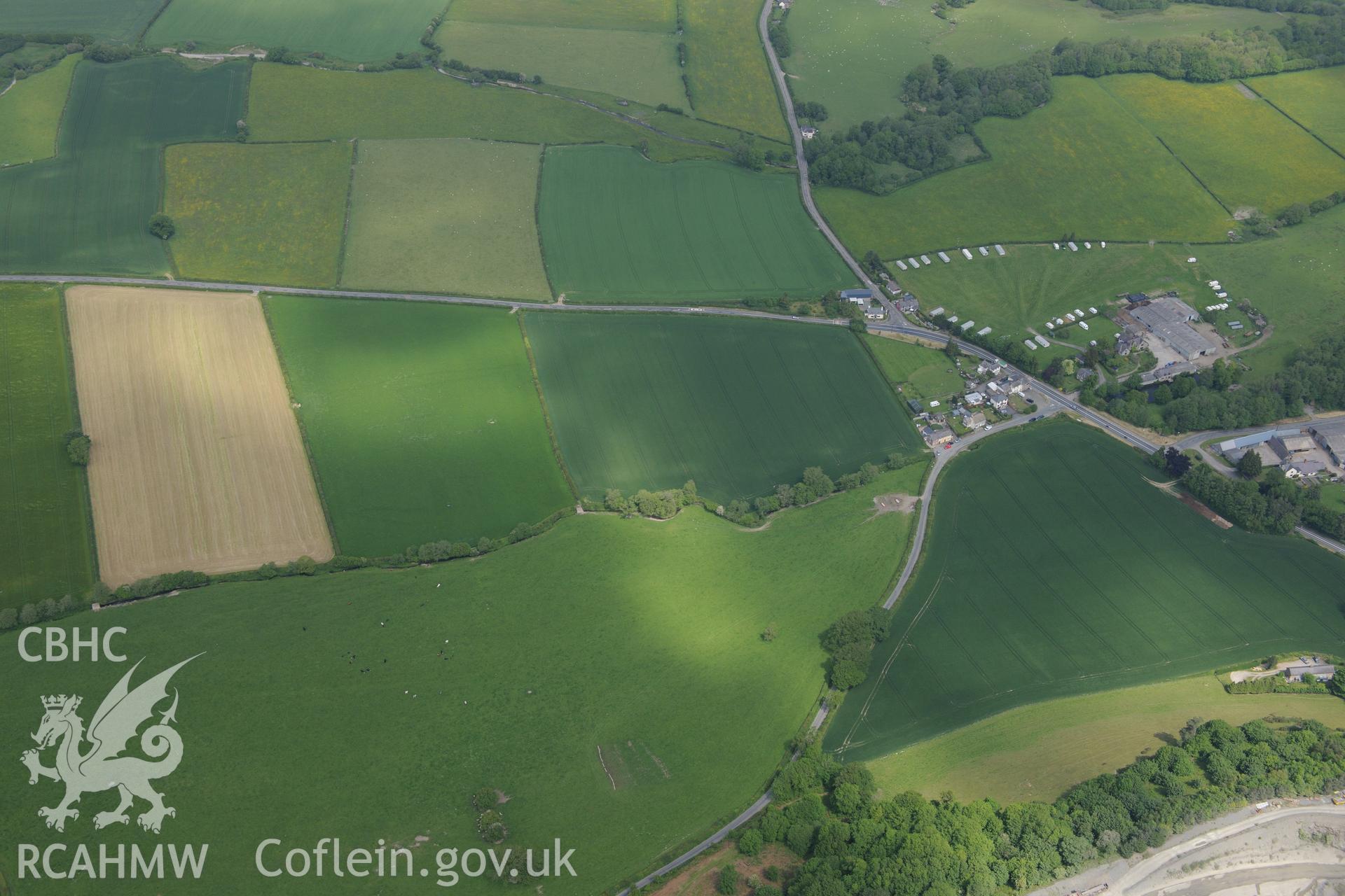
    • Walton ring ditch or timber circle south-west of village
    Details
    Images
    Related Sites
    Related Archives
    Loading Filter Panel
    per page
    RCAHMW colour oblique aerial photograph of Walton ring ditch or timber circle  taken on 9 July 2018 by Toby DriverRCAHMW colour oblique aerial photograph of Walton ring ditch or timber circle - close up taken on 9 July 2018 by Toby DriverRCAHMW colour oblique aerial photograph of Walton Roman Camp III and Walton ring ditch or timber circle taken on 9 July 2018 by Toby DriverRCAHMW colour oblique aerial photograph of Walton ring ditch or timber circle - close up taken on 9 July 2018 by Toby DriverWalton Court Farmstead; Walton Road Camp I and II; cropmark ringditch south west of Walton; cropmark west of Walton; Court Farm barrow; cropmark enclosure and cropmark ringdith north of Ridding Brook. Oblique aerial photograph taken during the Royal Commission's programme of archaeological aerial reconnaissance by Toby Driver on 11th June 2015.
    • Accessibility
    • Privacy Policy
    • Glossary
    • Contact
    • Legals
    • Help
    • Sitemap
    • Royal Commision website
    RCAHMW logo
    Comisiwn Brenhinol
    Henebion Cymru


    Royal Commission on the Ancient and
    Historical Monuments of Wales
    Connect with us
    dragon logo Facebook logo Twitter logo
    © 2021 Non-commercial Government Licence
    admin signpost page