• Cymraeg
  • Beta   Accessibility
    coflein logo
    • Home
    • About
    • Search
    • Galleries
    • Map
    • Help
    • Contact / Order

    • Search Results
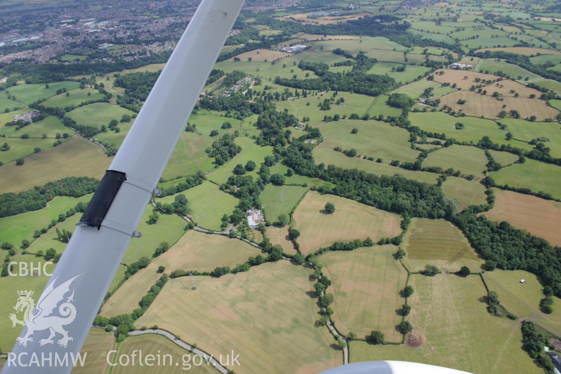
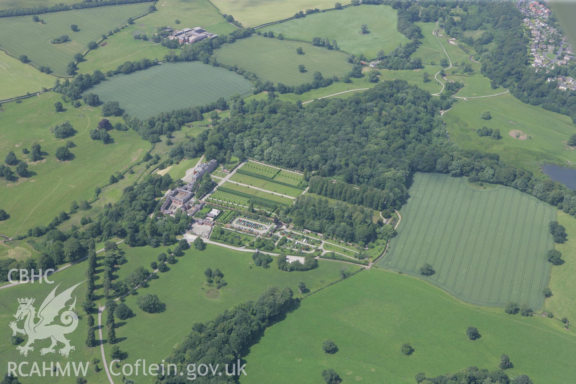
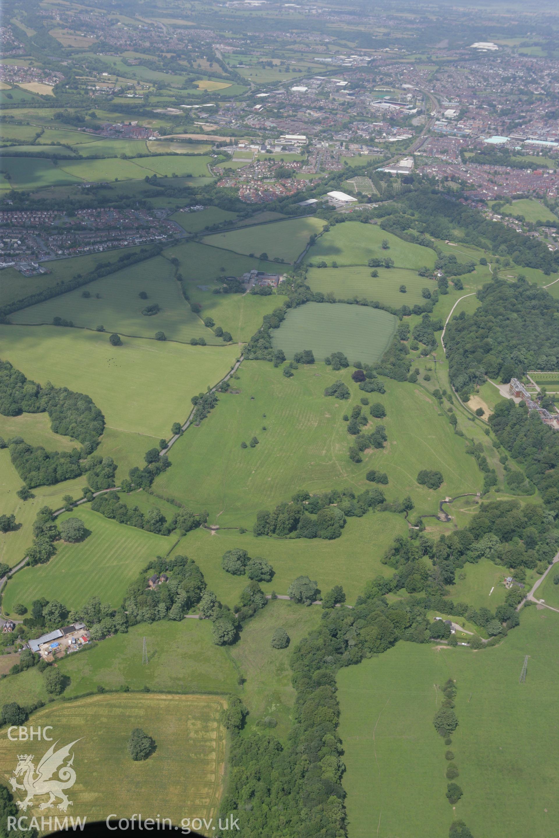
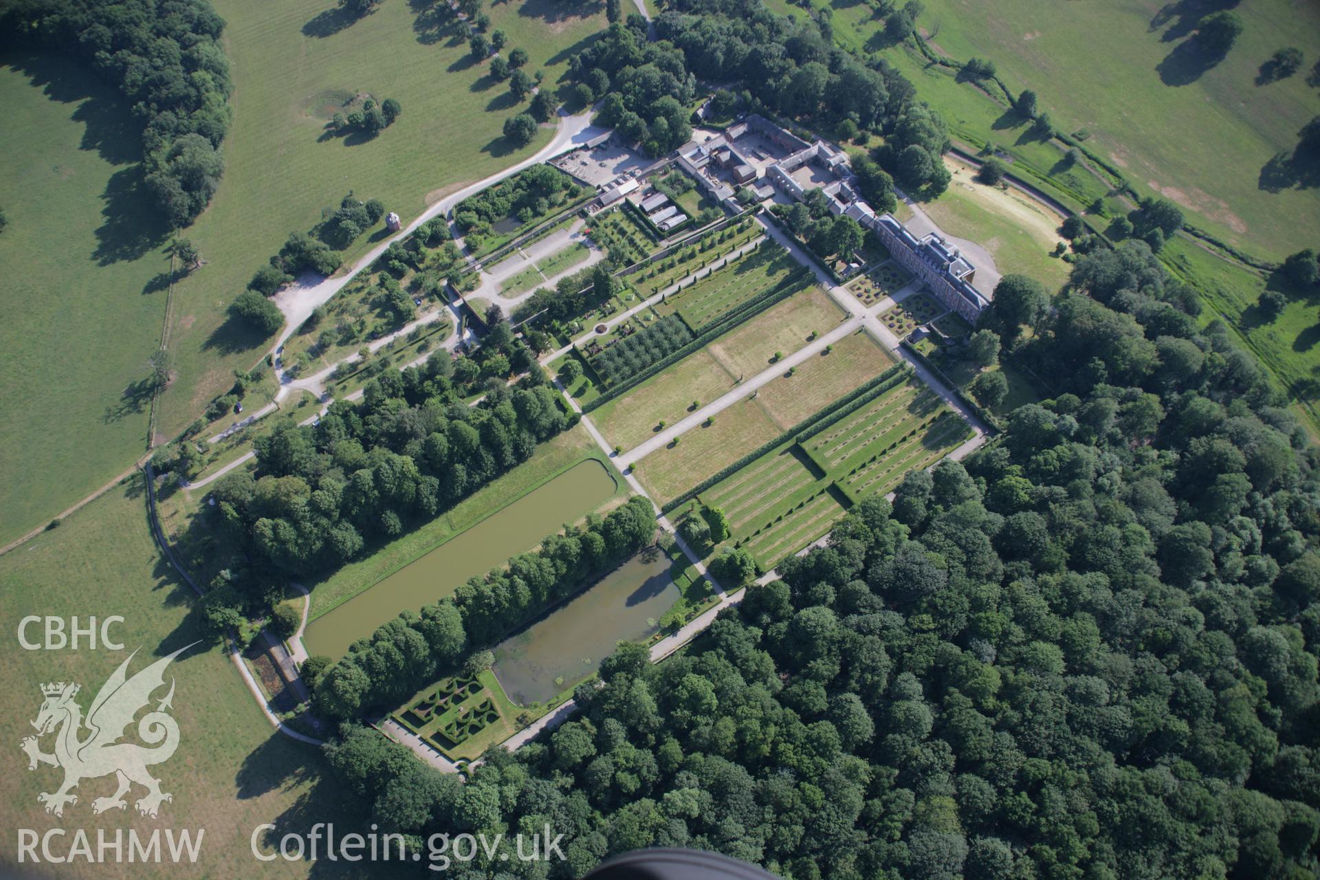
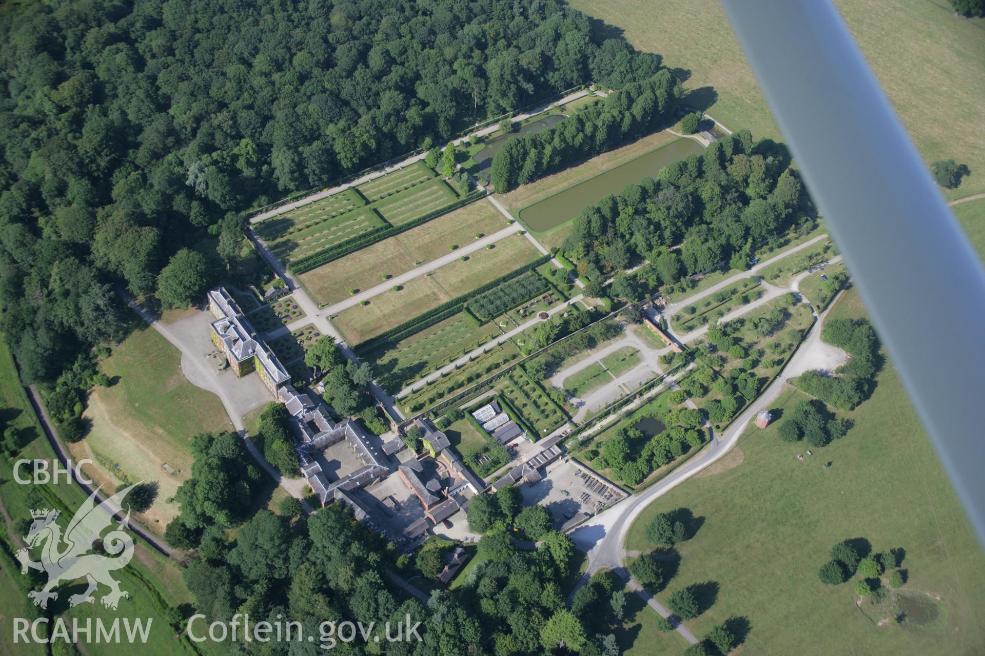
    • Wat's Dyke: Section Extending Through Erddig Park
    Details
    Images
    Related Sites
    Related Archives
    Loading Filter Panel
    per page
    Erddig Hall and section of Wat's Dyke extending through Erddig Park. Oblique aerial photograph taken during the Royal Commission's programme of archaeological aerial reconnaissance by Toby Driver on 30th July 2015.RCAHMW colour oblique photograph of Wat's Dyke, section extending from Middle Sontley to Erddig Park, with Erddig Park and Erddig Motte and Bailey Castle. Taken by Toby Driver on 01/07/2008.RCAHMW colour oblique photograph of Wat's Dyke, section extending from Middle Sontley to Erddig Park. Taken by Toby Driver on 01/07/2008.RCAHMW colour oblique aerial photograph of a section of Wat's Dyke extending from Erddig Park to Middle Sontley. Taken on 17 July 2006 by Toby Driver.RCAHMW colour oblique aerial photograph of a section of Wat's Dyke extending from Erddig Park to Middle Sontley. Taken on 17 July 2006 by Toby Driver.
    • Accessibility
    • Privacy Policy
    • Glossary
    • Contact
    • Legals
    • Help
    • Sitemap
    • Royal Commision website
    RCAHMW logo
    Comisiwn Brenhinol
    Henebion Cymru


    Royal Commission on the Ancient and
    Historical Monuments of Wales
    Connect with us
    dragon logo Facebook logo Twitter logo
    © 2021 Non-commercial Government Licence
    admin signpost page