Cymraeg
Beta
Accessibility
Home
About
Search
Galleries
Map
Help
Contact / Order
Archive Record
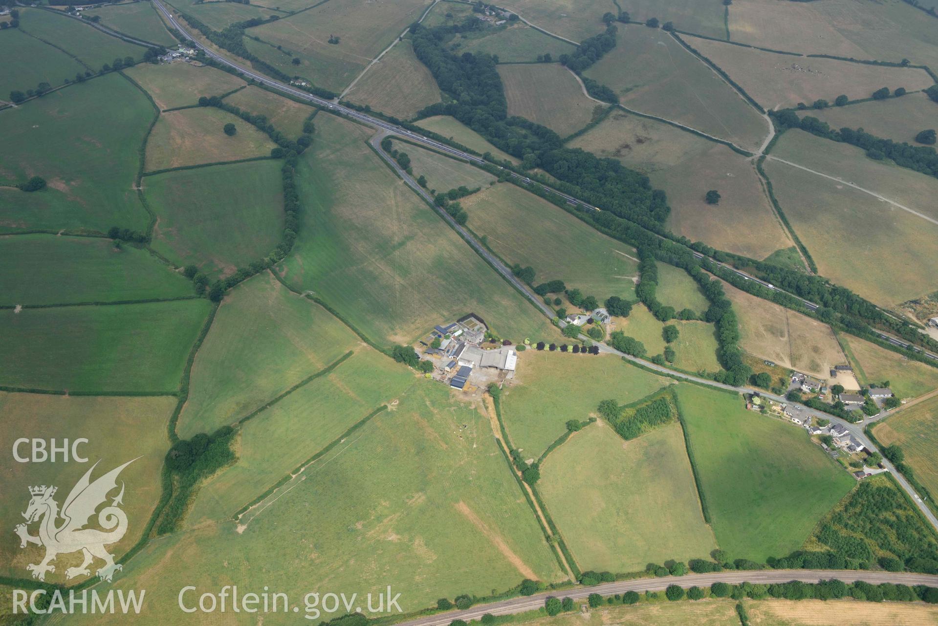
Roman Road West of Carmarthen, Section at Moor
CH2025_005 CHERISH Project Archive
CH2025_005_010
Download and purchase options
Details
Hierarchy
Related Sites
NPRN
Title
Type Of Site
Archives
Images
NPRN
409921
Title
Roman Road West of Carmarthen, Section at Moor
Type Of Site
ROAD
Archives
11
Images
7
 Download and purchase options