Description
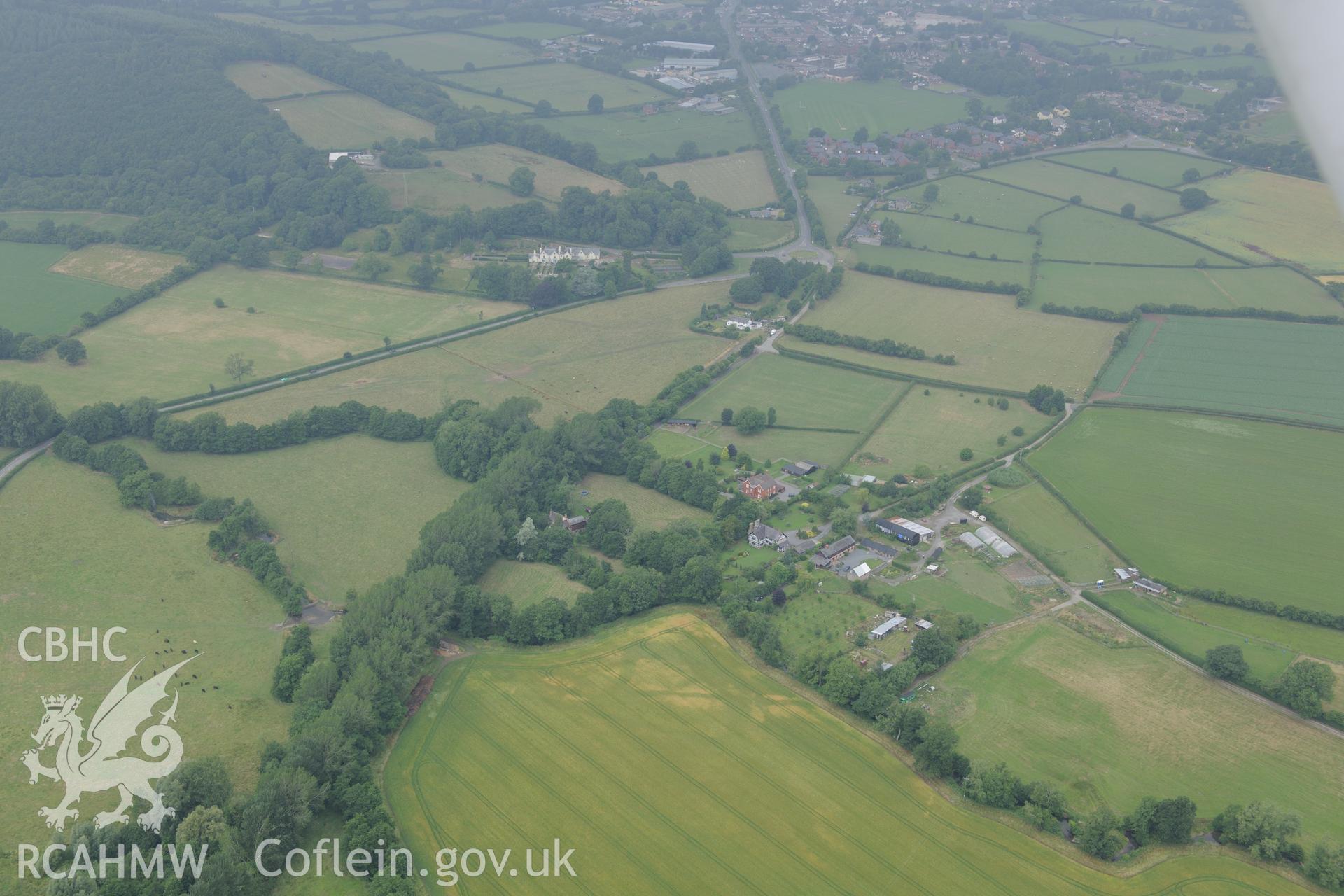
Wegnall farmhouse with the Wegnall cropmarks in the field below and the town of Presteigne in the distance. Oblique aerial photograph taken during the Royal Commission?s programme of archaeological aerial reconnaissance by Toby Driver on 1st August 2013.
 Download and purchase options