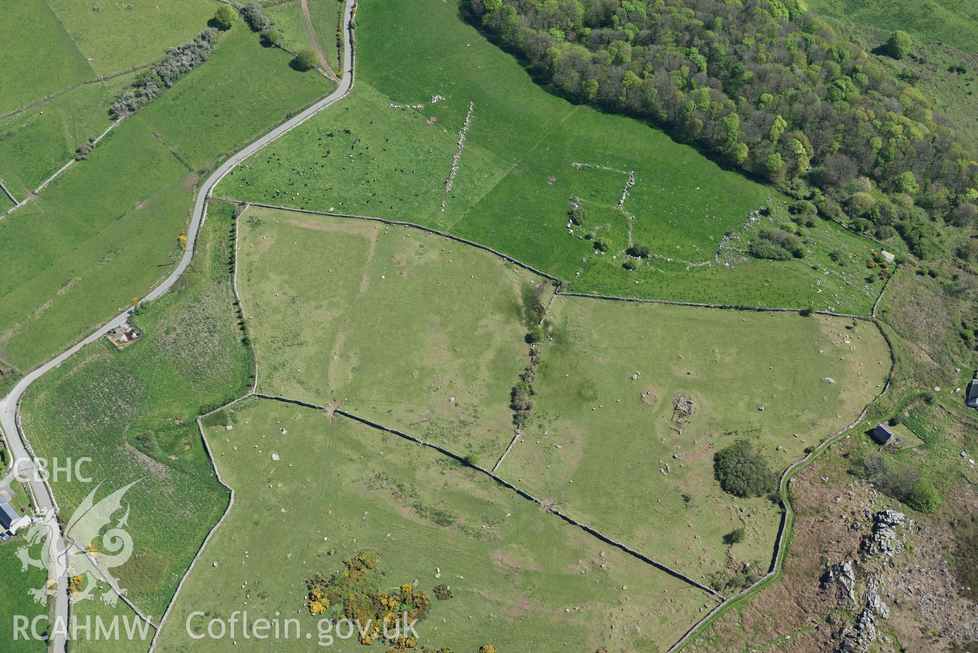
Aerial photography of Hut circle and fields south of Rhiw, taken on 3rd May 2017.  Baseline aerial reconnaissance survey for the CHERISH Project. ? Crown: CHERISH PROJECT 2017. Produced with EU funds through the Ireland Wales Co-operation Programme 2014-2020. All material made freely available through the Open Government Licence.Download and purchase options
Archive Number
6526240
Description
Aerial photography of Hut circle and fields south of Rhiw, taken on 3rd May 2017. Baseline aerial reconnaissance survey for the CHERISH Project. ? Crown: CHERISH PROJECT 2017. Produced with EU funds through the Ireland Wales Co-operation Programme 2014-2020. All material made freely available through the Open Government Licence.
Collection Name
CHR - CHERISH Project Archive
Medium
Photo.
Originator
Toby G. Driver, RCAHMW
Date
2017-05-03