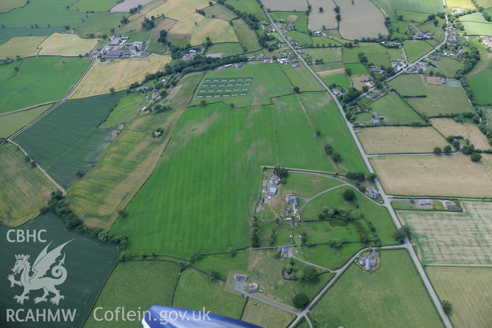
Forden and the section of Offa's Dyke from 90m south of Chirbury road to the southern boundary of Nant-Cribau park. Oblique aerial photograph taken during the Royal Commission's programme of archaeological aerial reconnaissance by Toby Driver on 30/6/2015.Download and purchase options
Archive Number
6519353
Description
Forden and the section of Offa's Dyke from 90m south of Chirbury road to the southern boundary of Nant-Cribau park. Oblique aerial photograph taken during the Royal Commission's programme of archaeological aerial reconnaissance by Toby Driver on 30/6/2015.
Collection Name
AP - RCAHMW Colour Oblique Digital Aerial Photographs
Medium
Photo.
Originator
Toby G. Driver, RCAHMW
Date
2015-06-30