Cymraeg
Beta
Accessibility
Home
About
Search
Galleries
Map
Help
Contact / Order
Archive Record
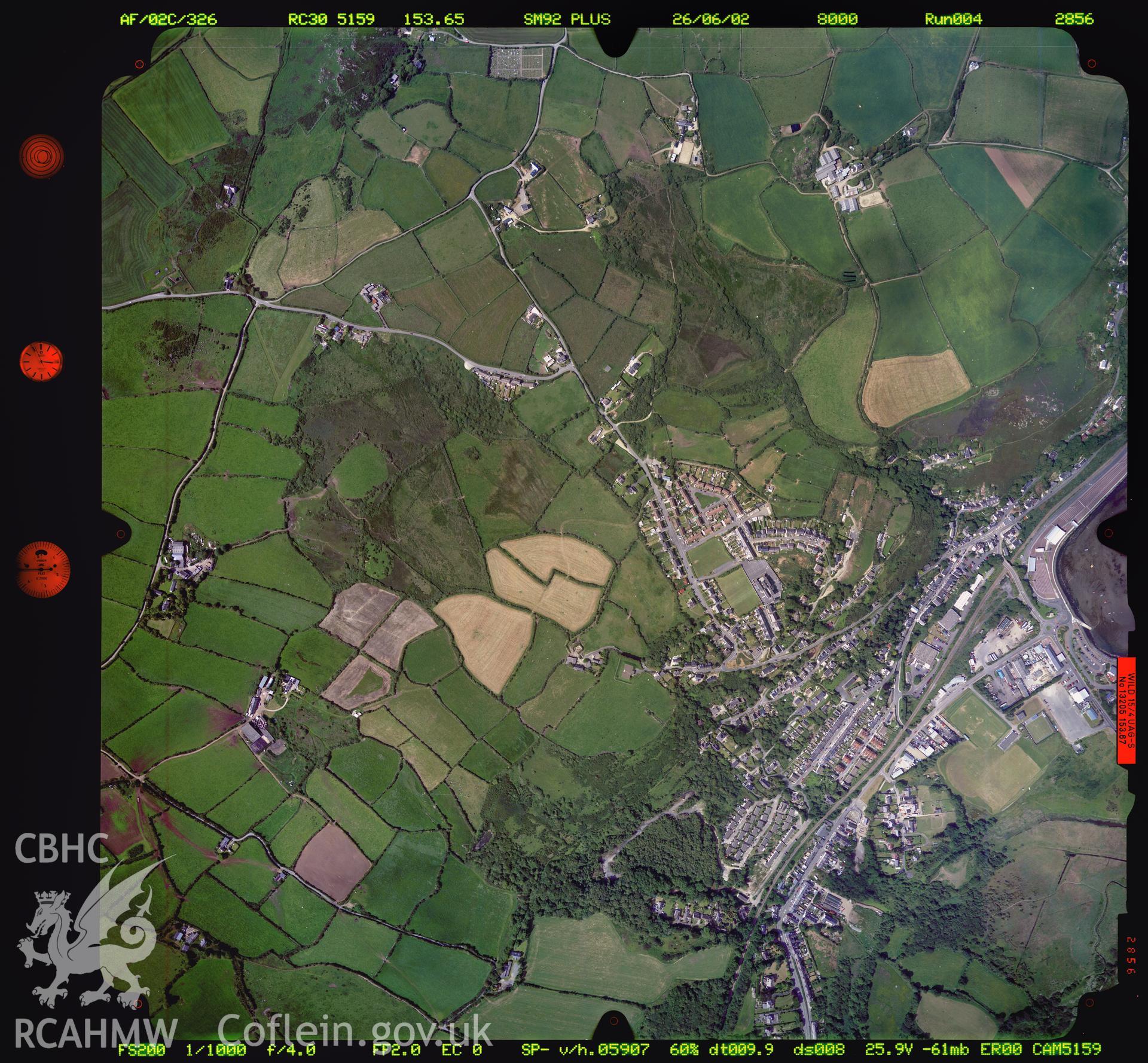
Fishguard
Ordnance Survey Vertical Aerial Photography Collection
02_931_2856 - Ordnance Survey Aerial Photography Collection
Download and purchase options
Details
Hierarchy
Related Sites
6202613
Ordnance Survey Vertical Aerial Photography Collection -
Collection
6333470
02_931_2856 - Ordnance Survey Aerial Photography Collection -
Item