Cymraeg
Beta
Accessibility
Home
About
Search
Galleries
Map
Help
Contact / Order
Archive Record
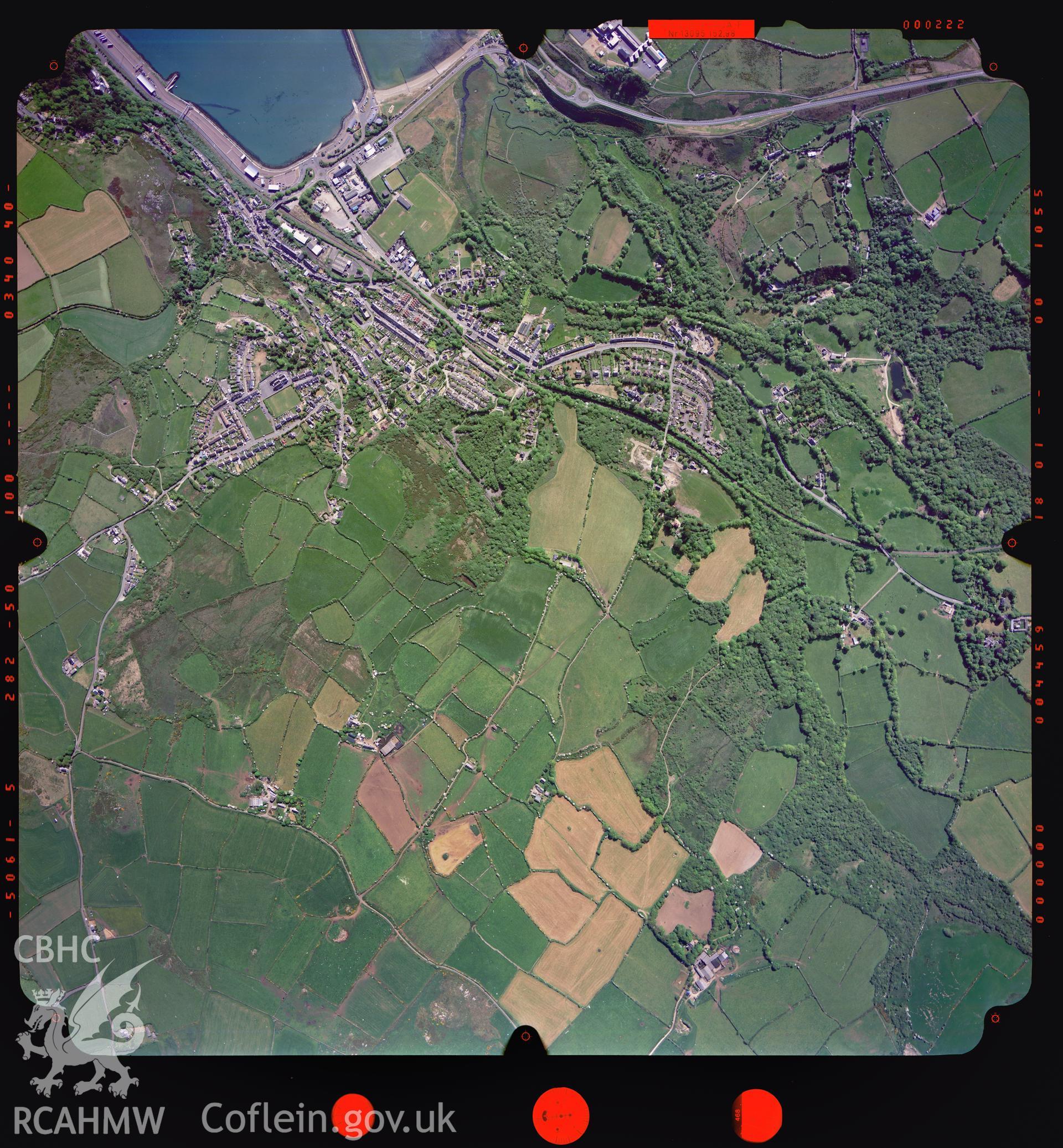
Fishguard
Ordnance Survey Vertical Aerial Photography Collection
04_539_222 - Ordnance Survey Aerial Photography Collection
Download and purchase options
Details
Hierarchy
Related Sites
Archive Number
6333469
Description
Digitized copy of a colour aerial photograph showing the Fishguard area, taken by Ordnance Survey, 2004.
Collection Name
Ordnance Survey Vertical Aerial Photography Collection
Medium
Photo.
Originator
Ordnance Survey
Date
2004
 Download and purchase options