• English
  • Beta   Hygyrchedd
    coflein logo
    • Hafan
    • Amdanom
    • Chwilio
    • Orielau
    • Map
    • Cymorth
    • Cysylltwch

    • Canlyniadau Chwilio
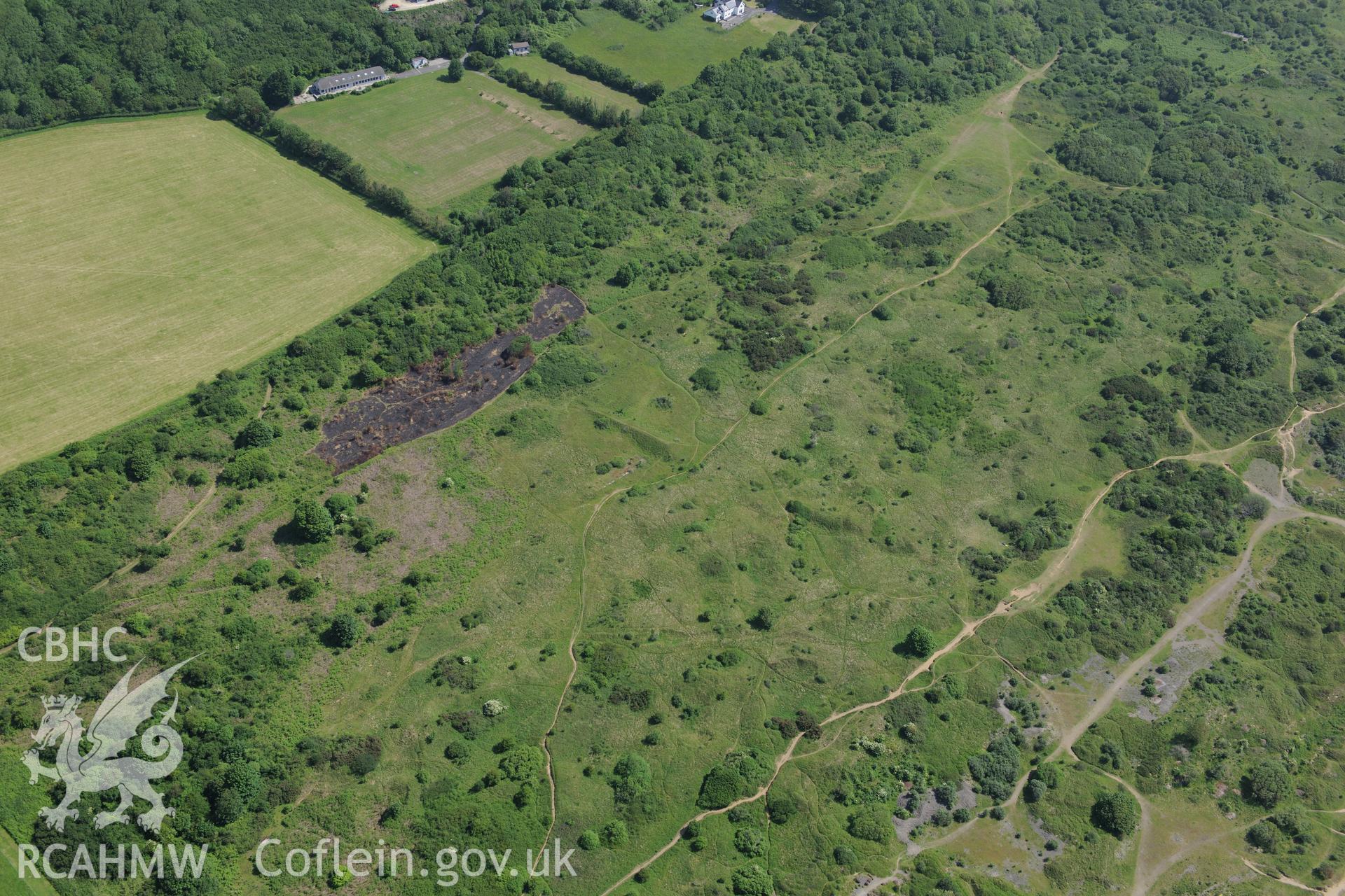
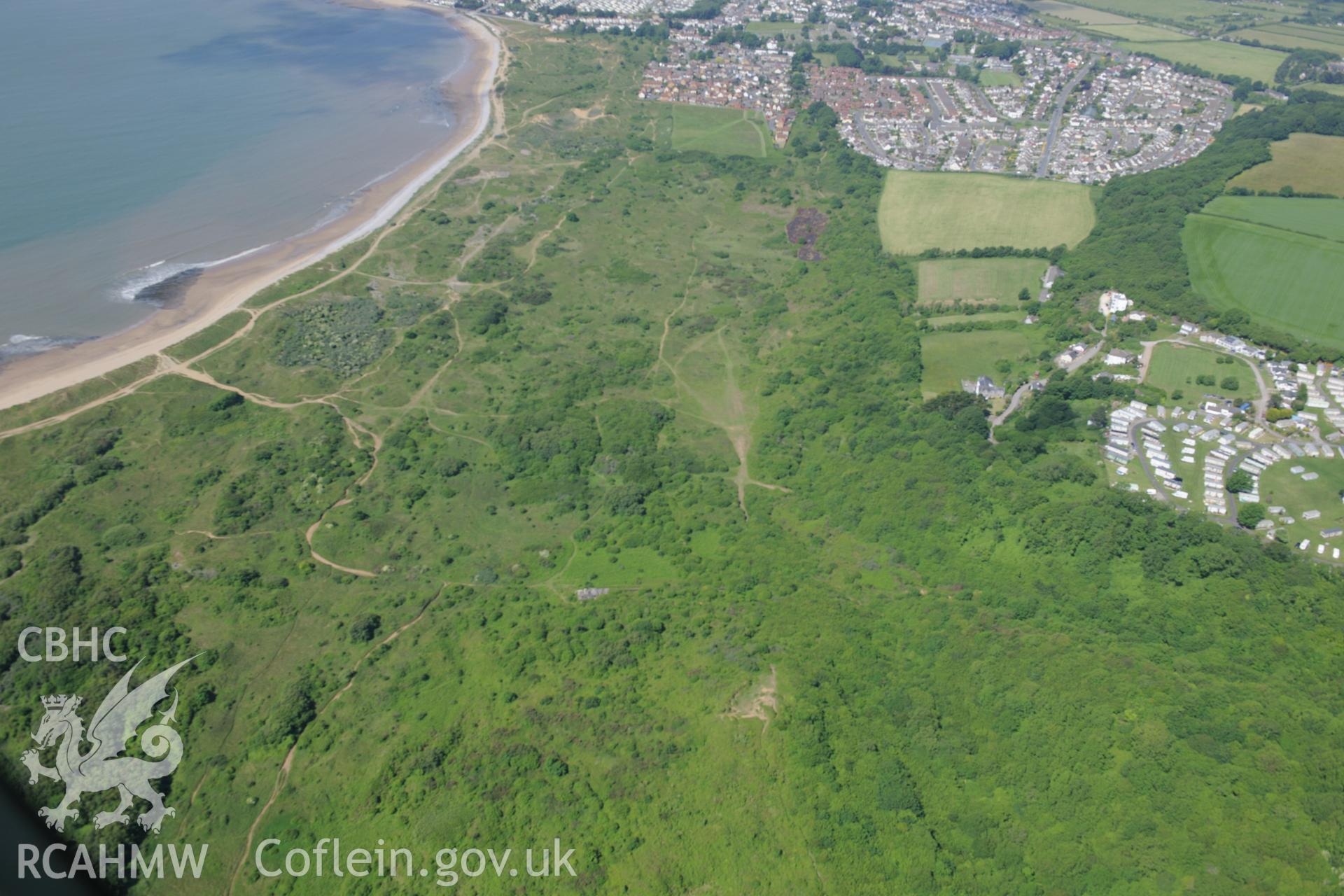
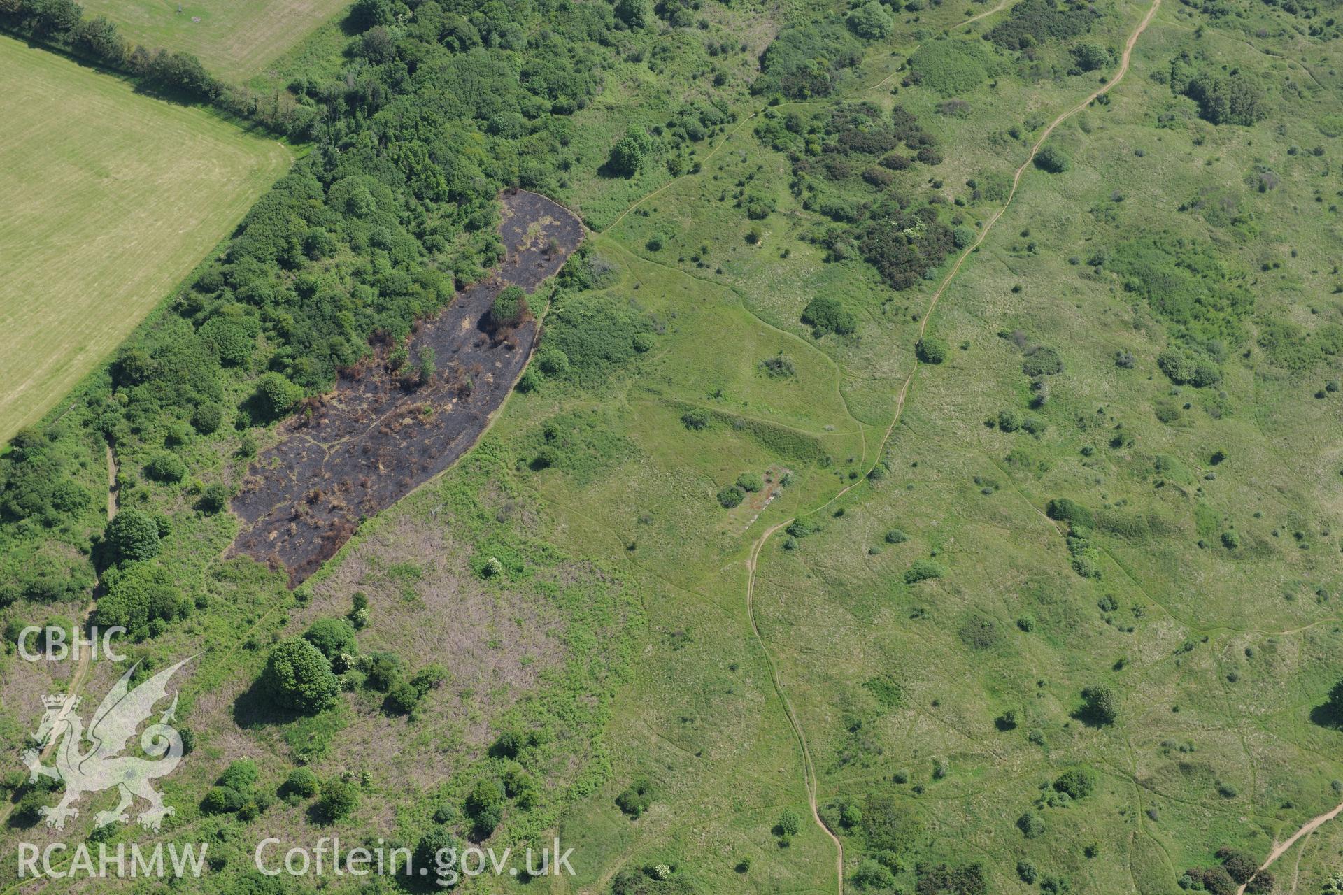
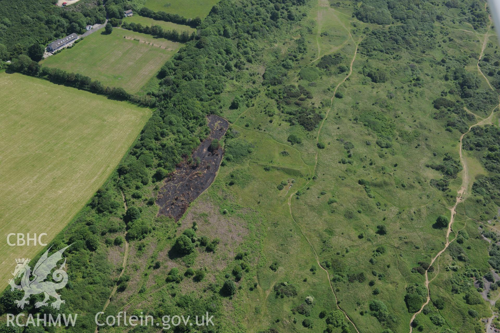
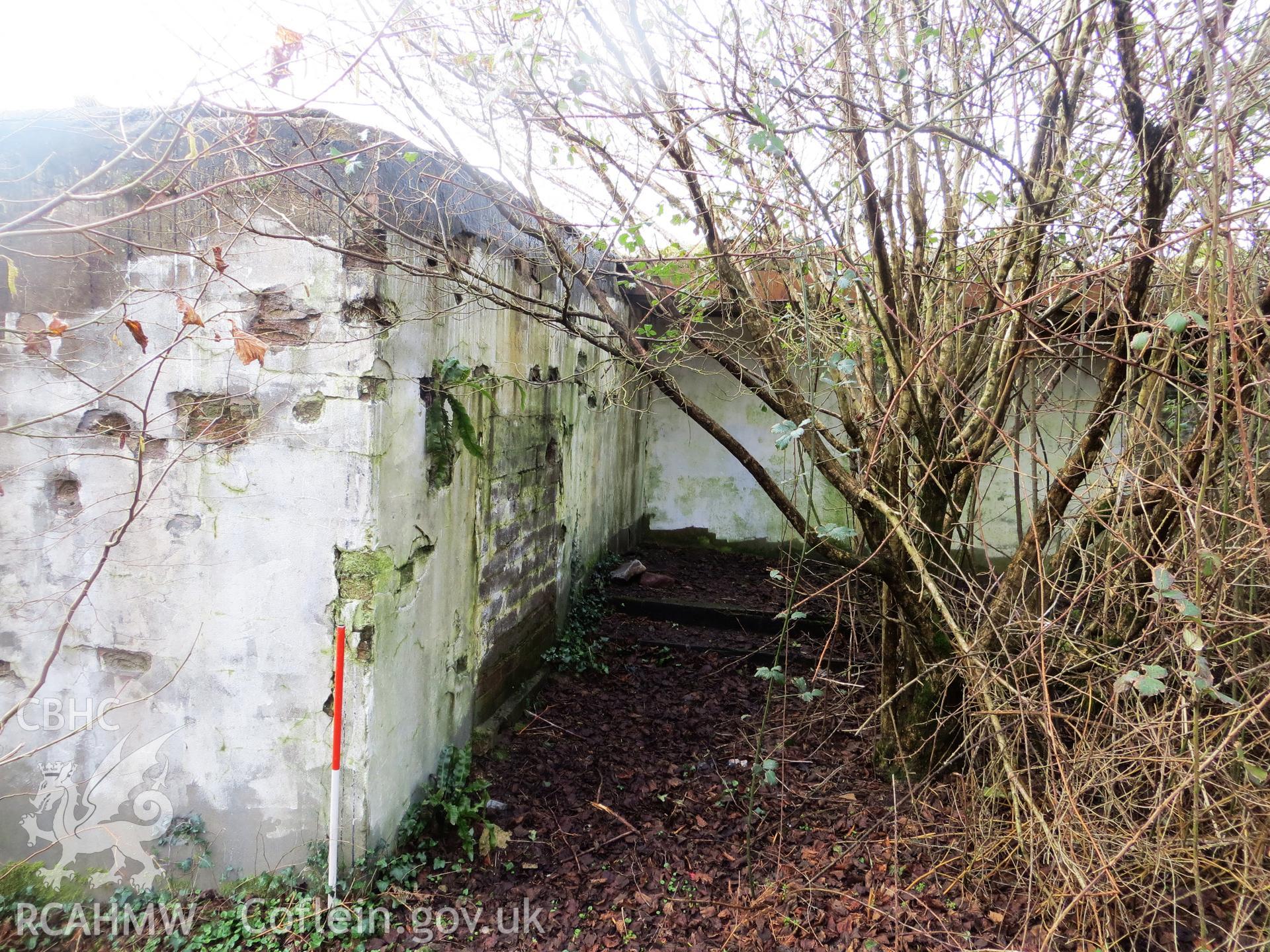
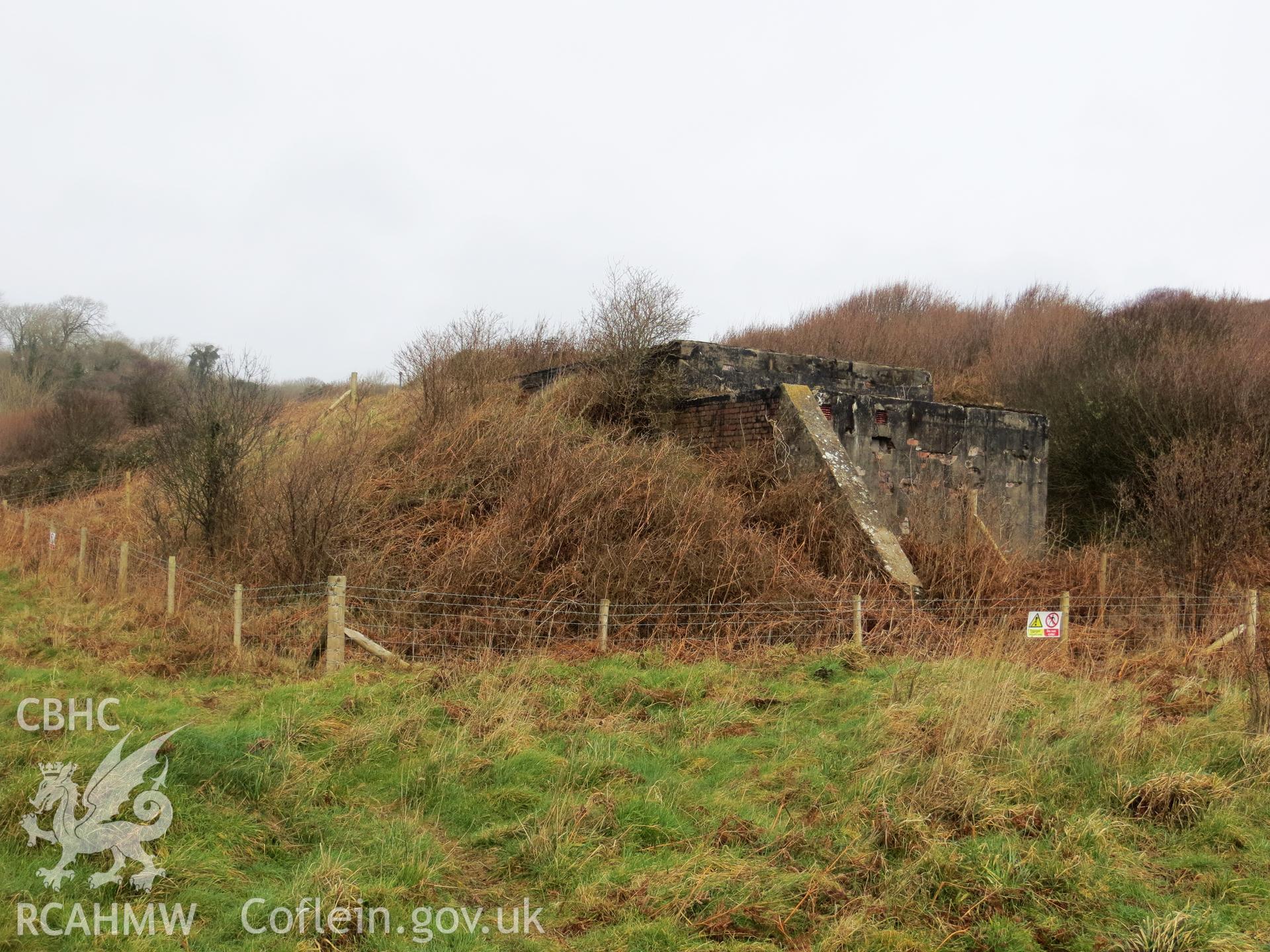
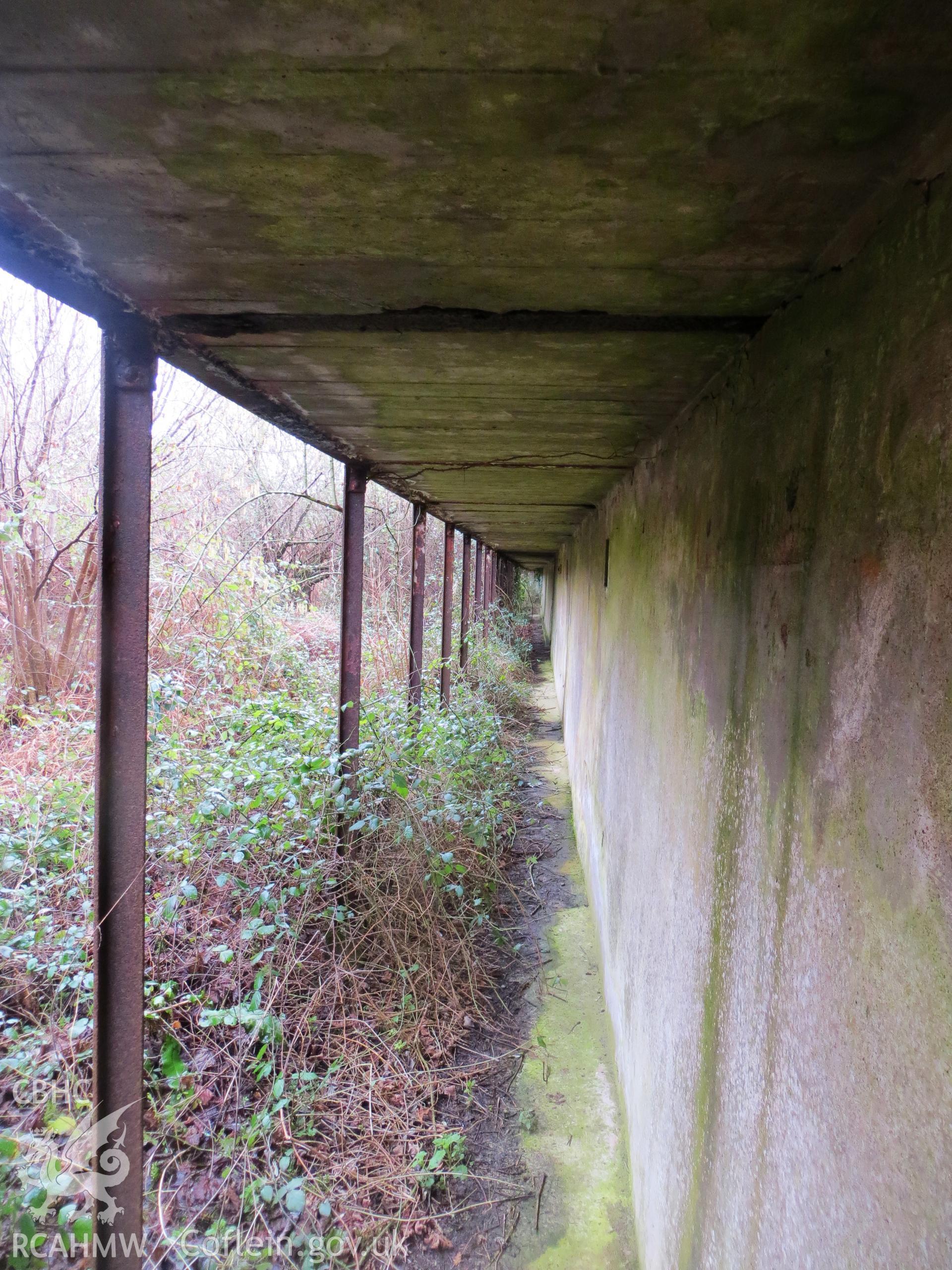
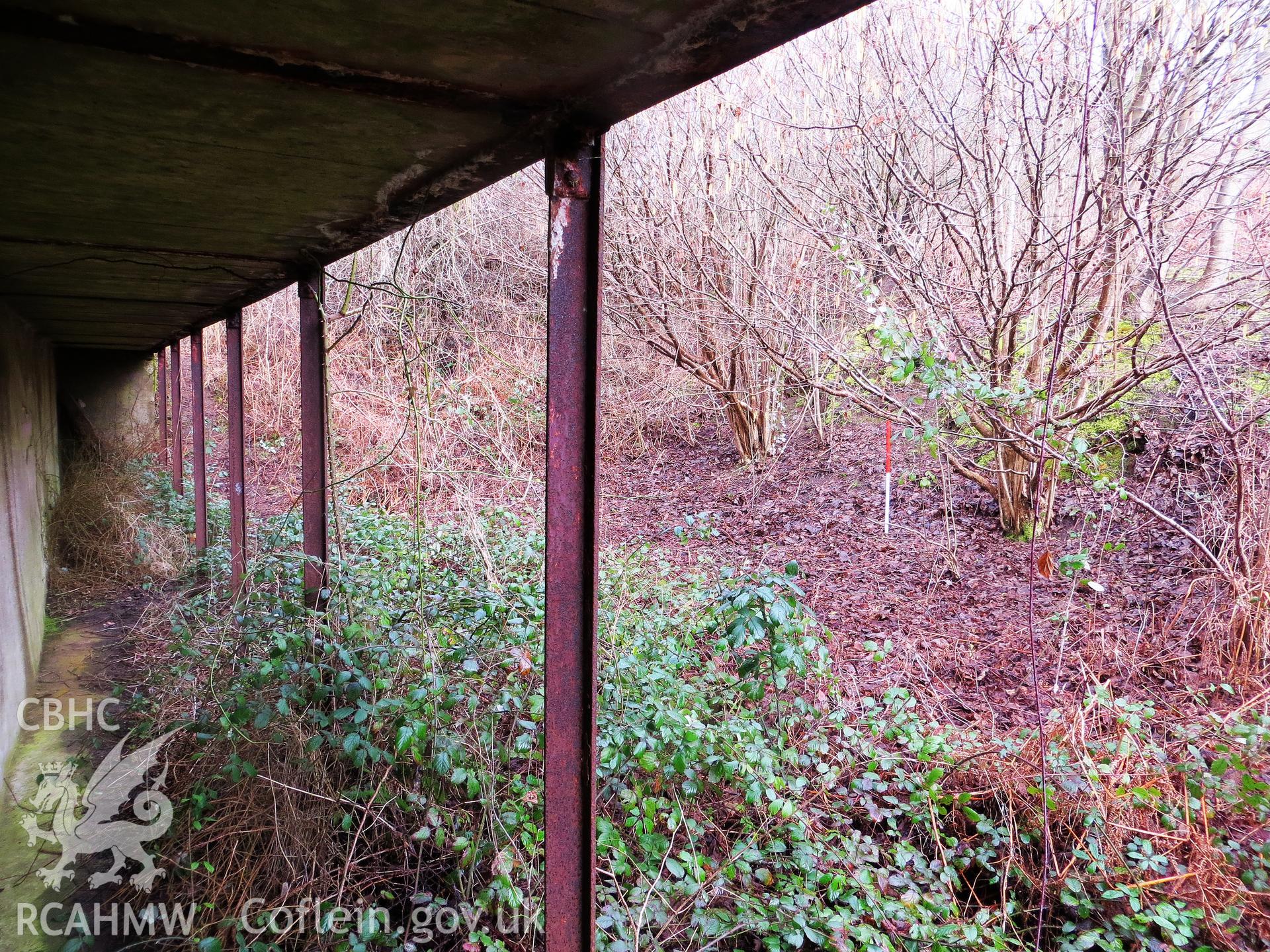
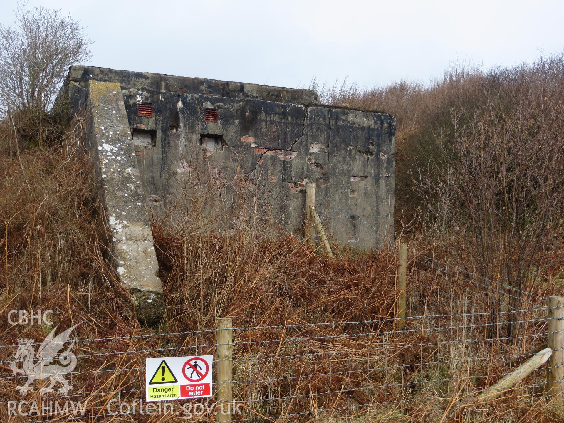
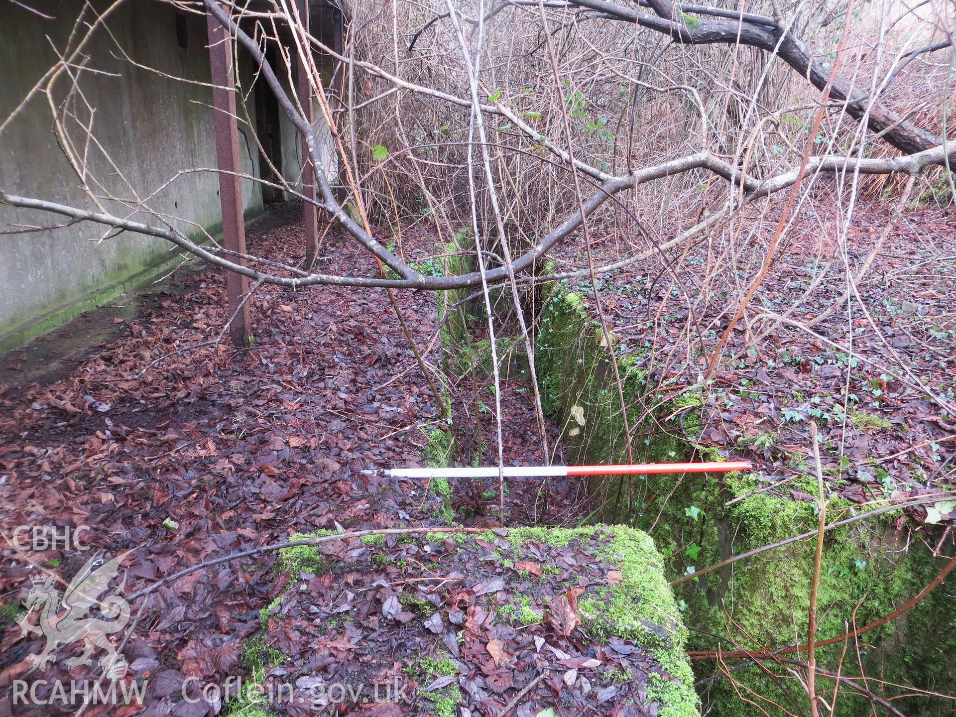
    • Wig Fach Rifle Range 2, Target Area
    Manylion
    Delweddau
    Safleoedd Cysylltiedig
    Archifau Cysylltiedig
    Loading Filter Panel
    i bob tudalen
    • 1
    • 2
    Merthyr Mawr warren and the Wig Fach Rifle Range 2, target area. Oblique aerial photograph taken during the Royal Commission's programme of archaeological aerial reconnaissance by Toby Driver on 19th June 2015.Merthyr Mawr warren and the Wig Fach Rifle Range 2, target area. Oblique aerial photograph taken during the Royal Commission's programme of archaeological aerial reconnaissance by Toby Driver on 19th June 2015.Merthyr Mawr warren and the Wig Fach Rifle Range 2, target area. Oblique aerial photograph taken during the Royal Commission's programme of archaeological aerial reconnaissance by Toby Driver on 19th June 2015.Merthyr Mawr warren and the Wig Fach Rifle Range 2, target area. Oblique aerial photograph taken during the Royal Commission's programme of archaeological aerial reconnaissance by Toby Driver on 19th June 2015.Control room & target gallery junction; 1m scale.Target mound and control room from the south.View along 'target gallery' from the north (target positions to left).Target gallery and base of 'stop butt' from the south; 1m scale.Bunker/control room from the south.Slit trench for target mountings; 1m scale.
    • Hysbysiad Preifatrwydd
    • Hygyrchedd
    • Termau
    • Materion Cyfreithiol
    • Cymorth
    • Gwefan Comisiwn Brenhinol
    RCAHMW logo
    Comisiwn Brenhinol
    Henebion Cymru


    Royal Commission on the Ancient and
    Historical Monuments of Wales
    Cysylltu â ni
    dragon logo Facebook logo Twitter logo
    © 2021 Trwydded Llywodraeth Anfasnachol
    admin signpost page