English
Beta
Hygyrchedd
Hafan
Amdanom
Chwilio
Orielau
Map
Cymorth
Cysylltwch
Cofnod Safle
Canlyniadau Chwilio
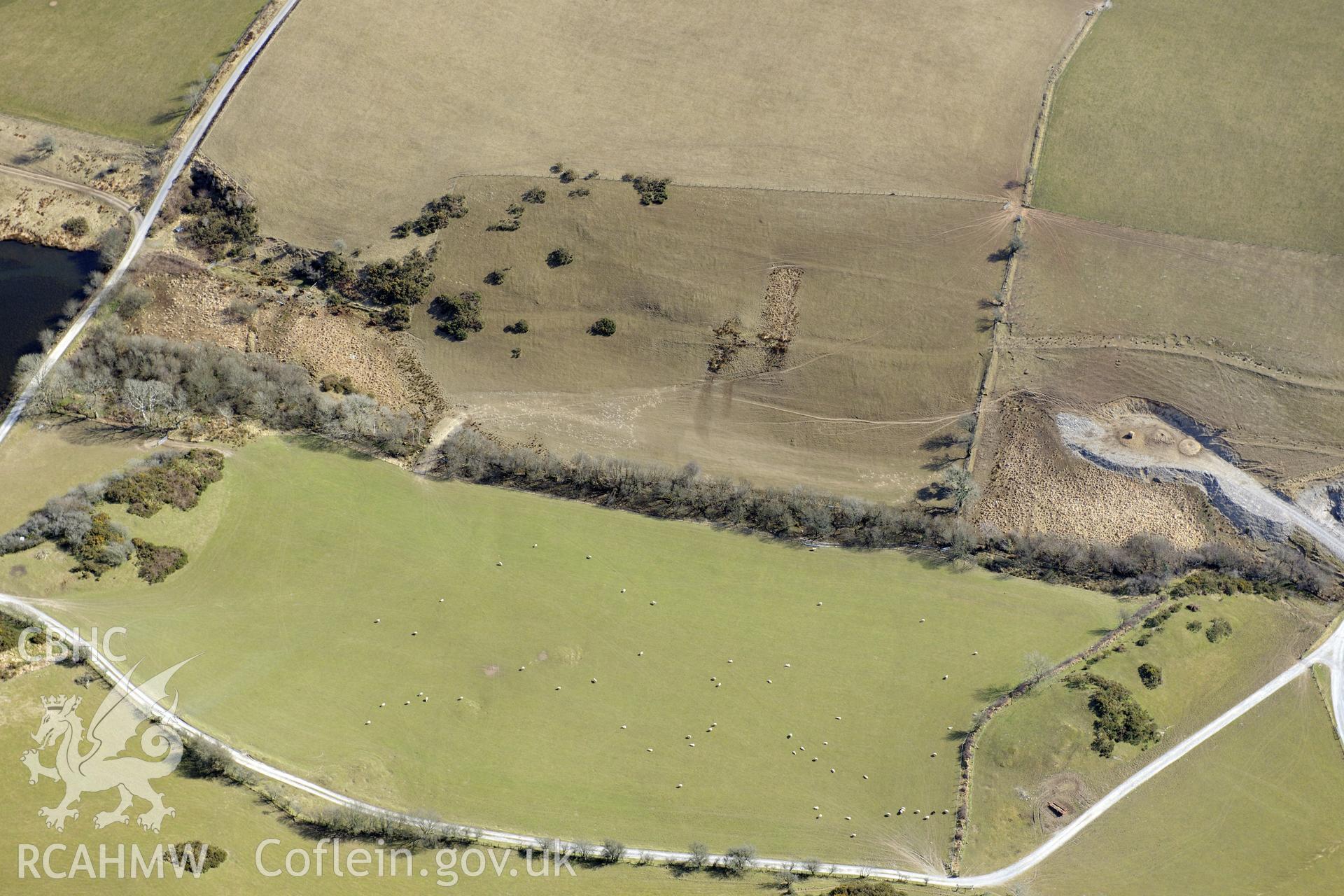
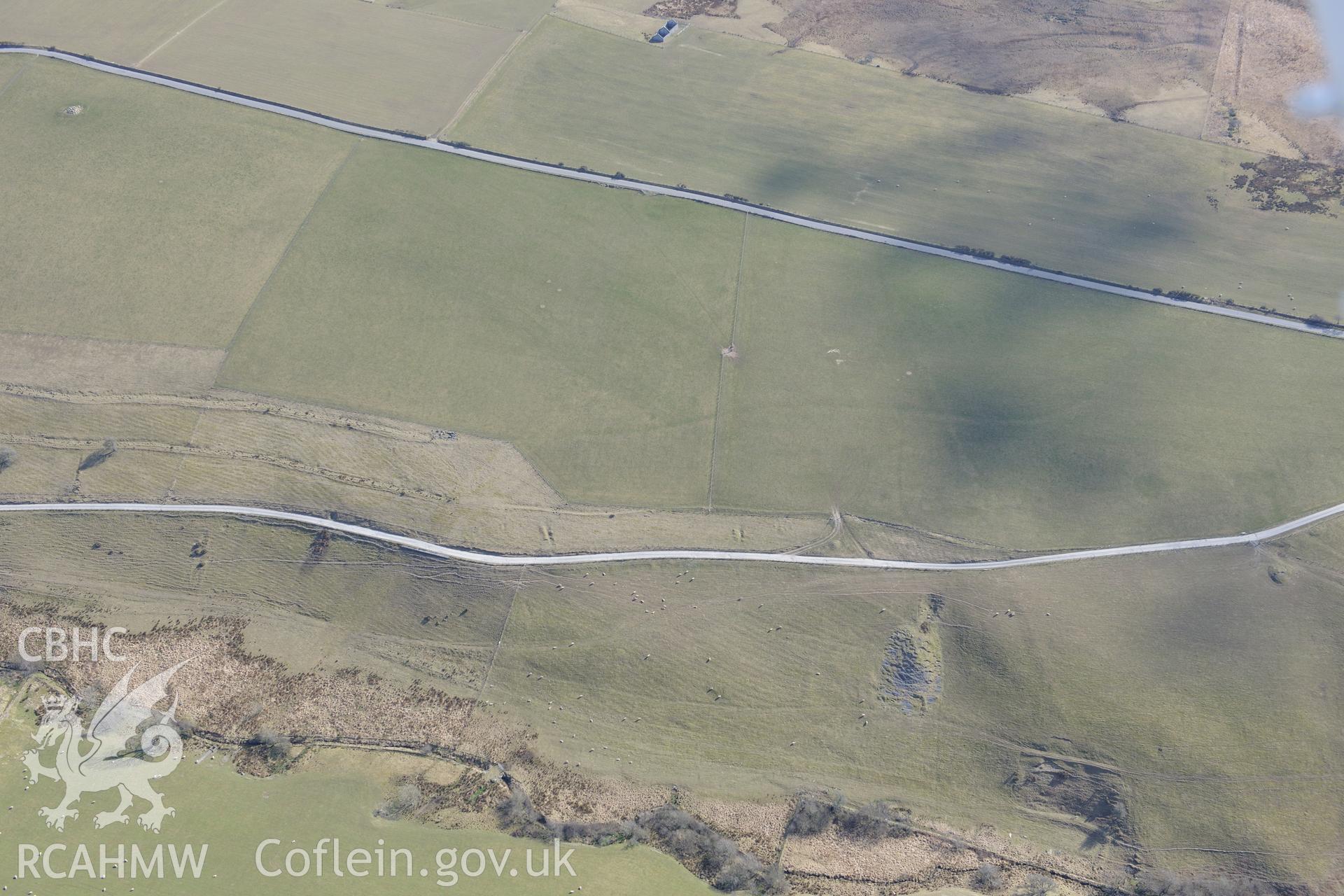
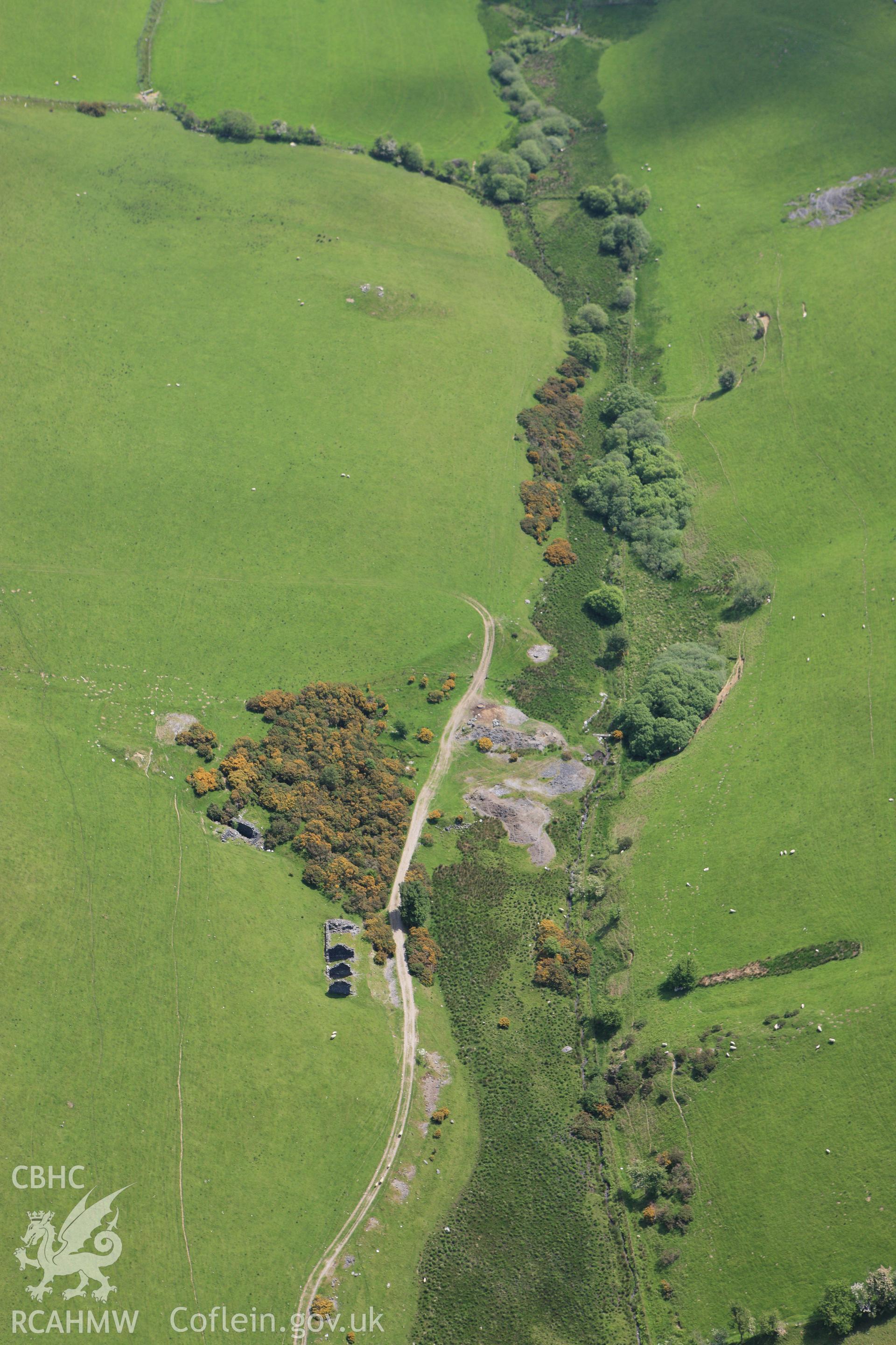
Mynydd Gorddu Lead Mine
Manylion
Delweddau
Safleoedd Cysylltiedig
Archifau Cysylltiedig
Loading Filter Panel
Dangoswch
10
25
50
75
100
i bob tudalen
Didoli
Dyddiad (Disgynnol)
Dyddiad (Esgynnol)
1
2
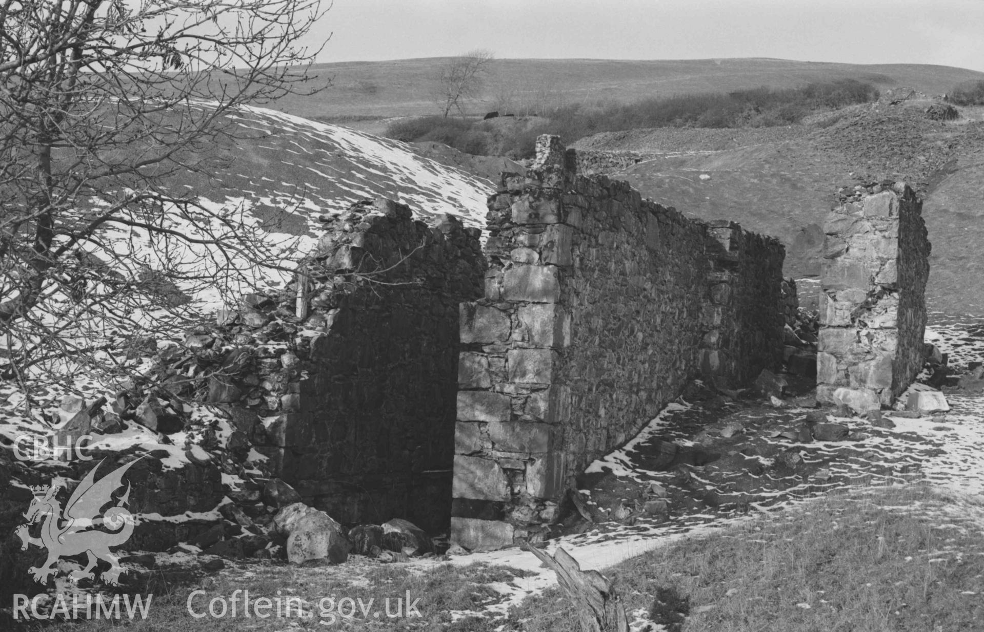
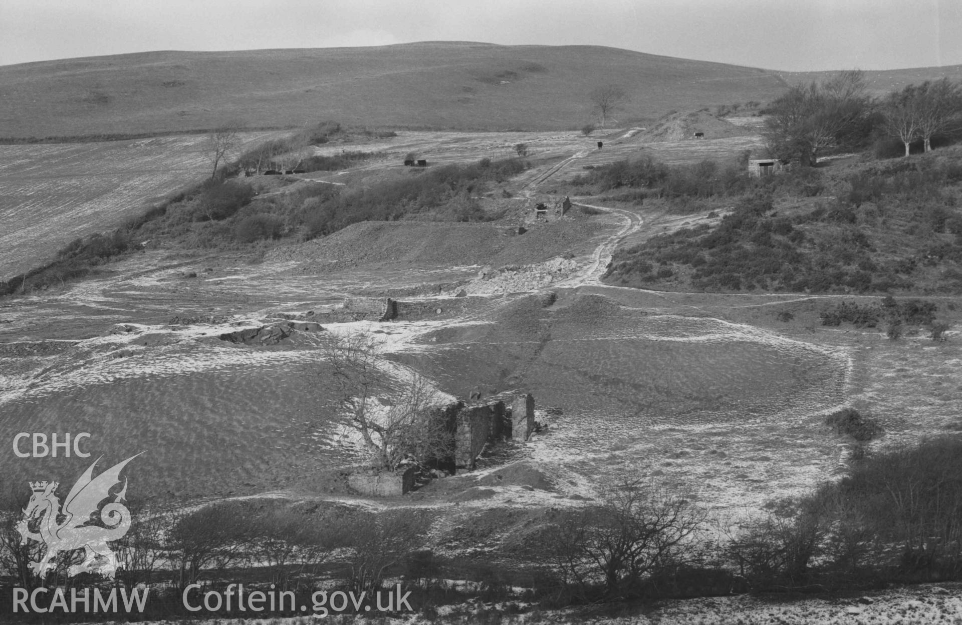
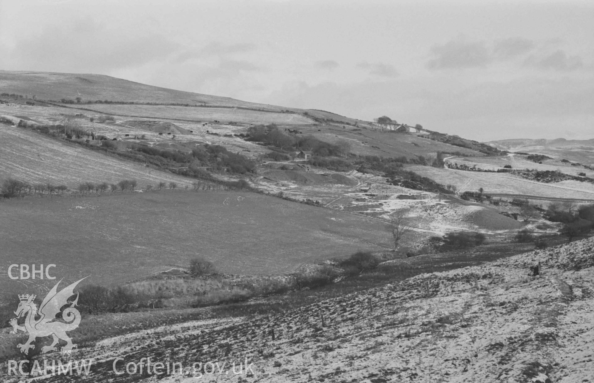
![Digital copy of a black and white negative showing Burnett's engine-shaft (top left) with its waste tip and tramway ramp (running alon this side of base of tip). Remains of small ruin (at north west corner of small reservoir) in foreground. At Mynydd-Gorddu mine [with cows]. Photographed by Arthur Chater on 29 December 1968. Looking north east from Grid Reference SN 6673 8610.](/media/357/330/large_acc060772___Arthur_Chater_Collection.jpg)