• English
  • Beta   Hygyrchedd
    coflein logo
    • Hafan
    • Amdanom
    • Chwilio
    • Orielau
    • Map
    • Cymorth
    • Cysylltwch

    • Canlyniadau Chwilio
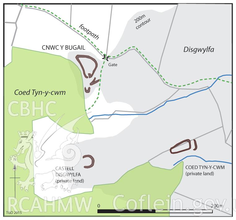
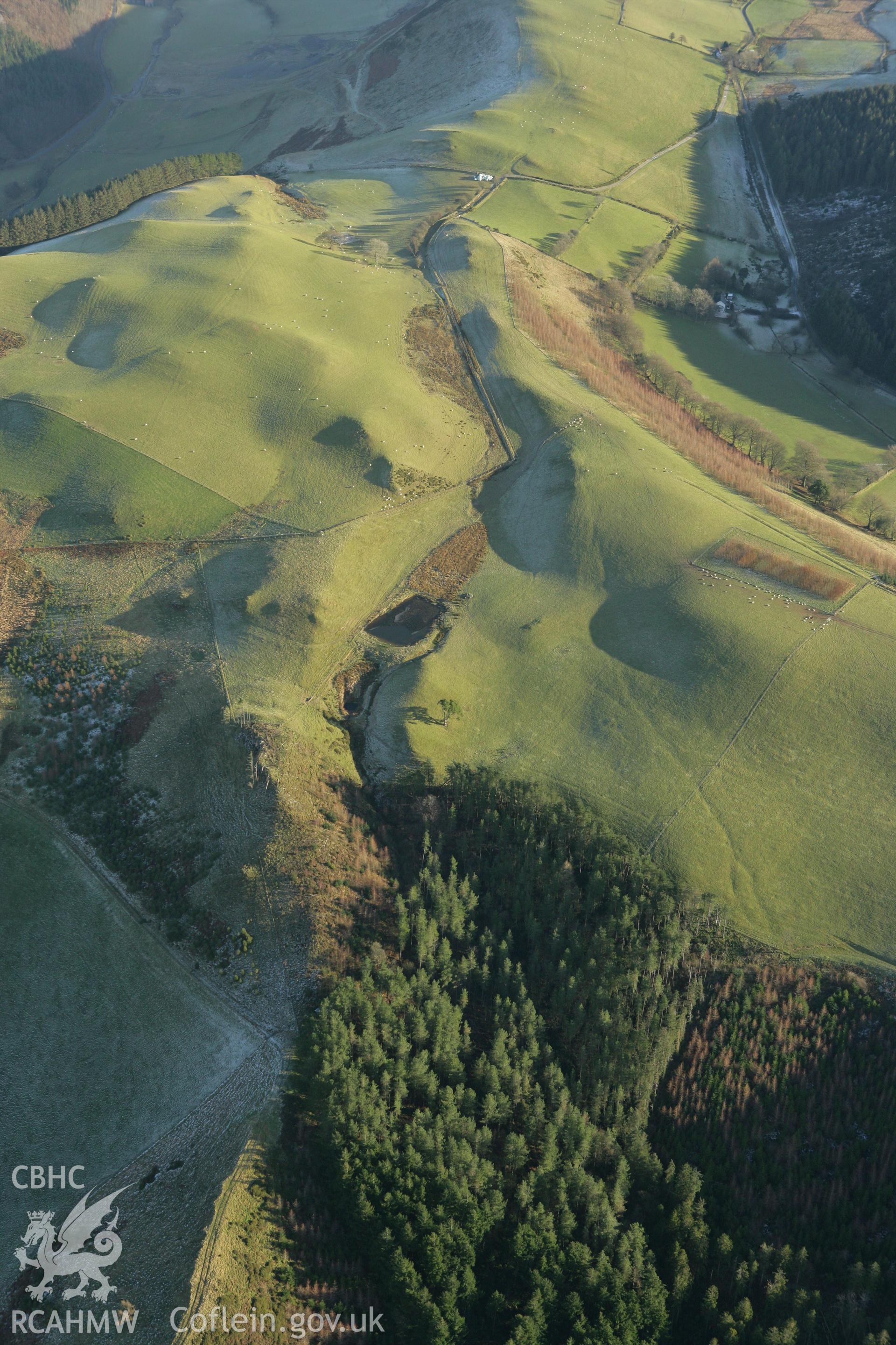
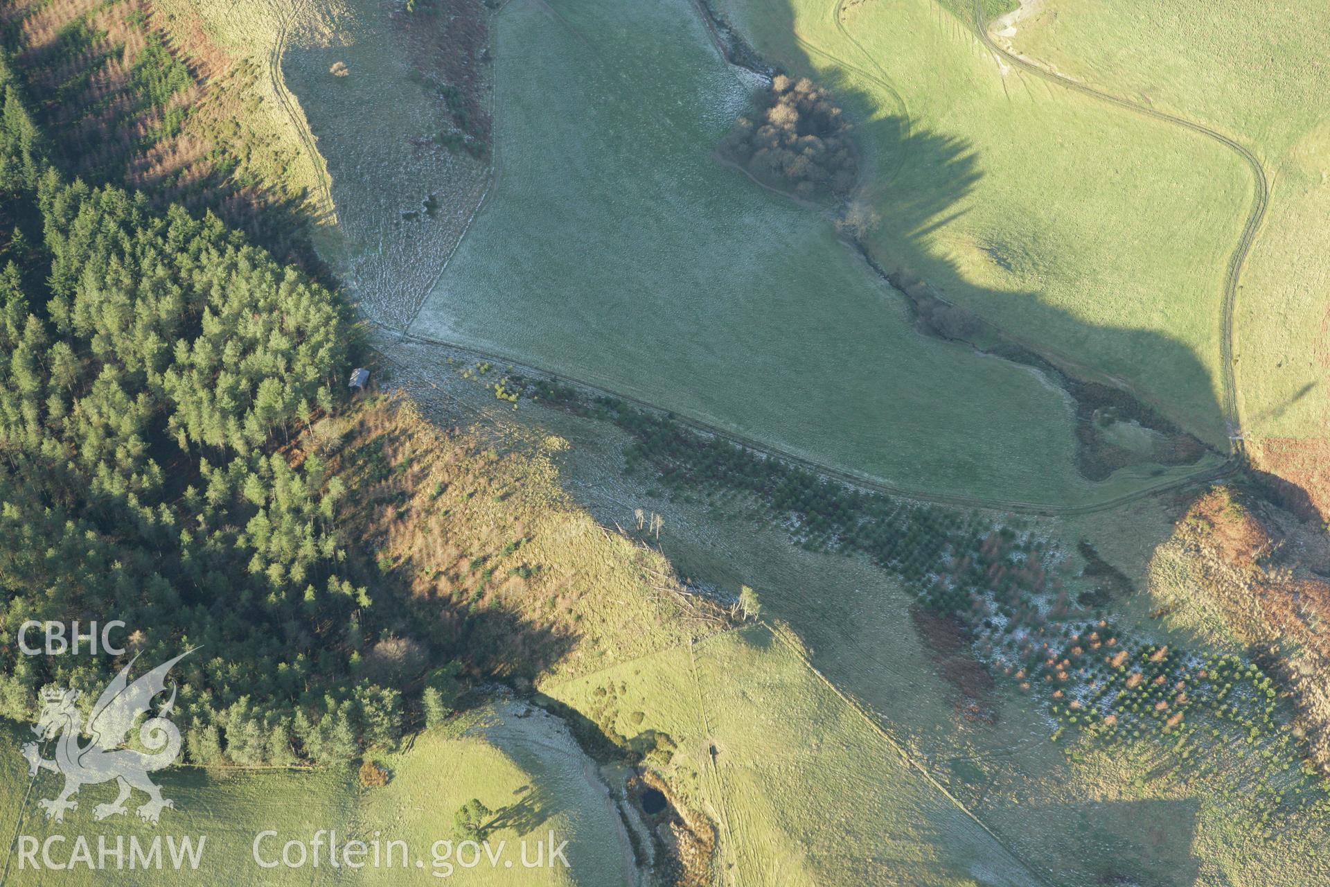
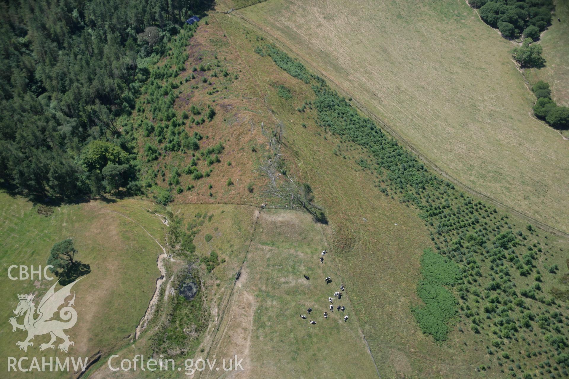
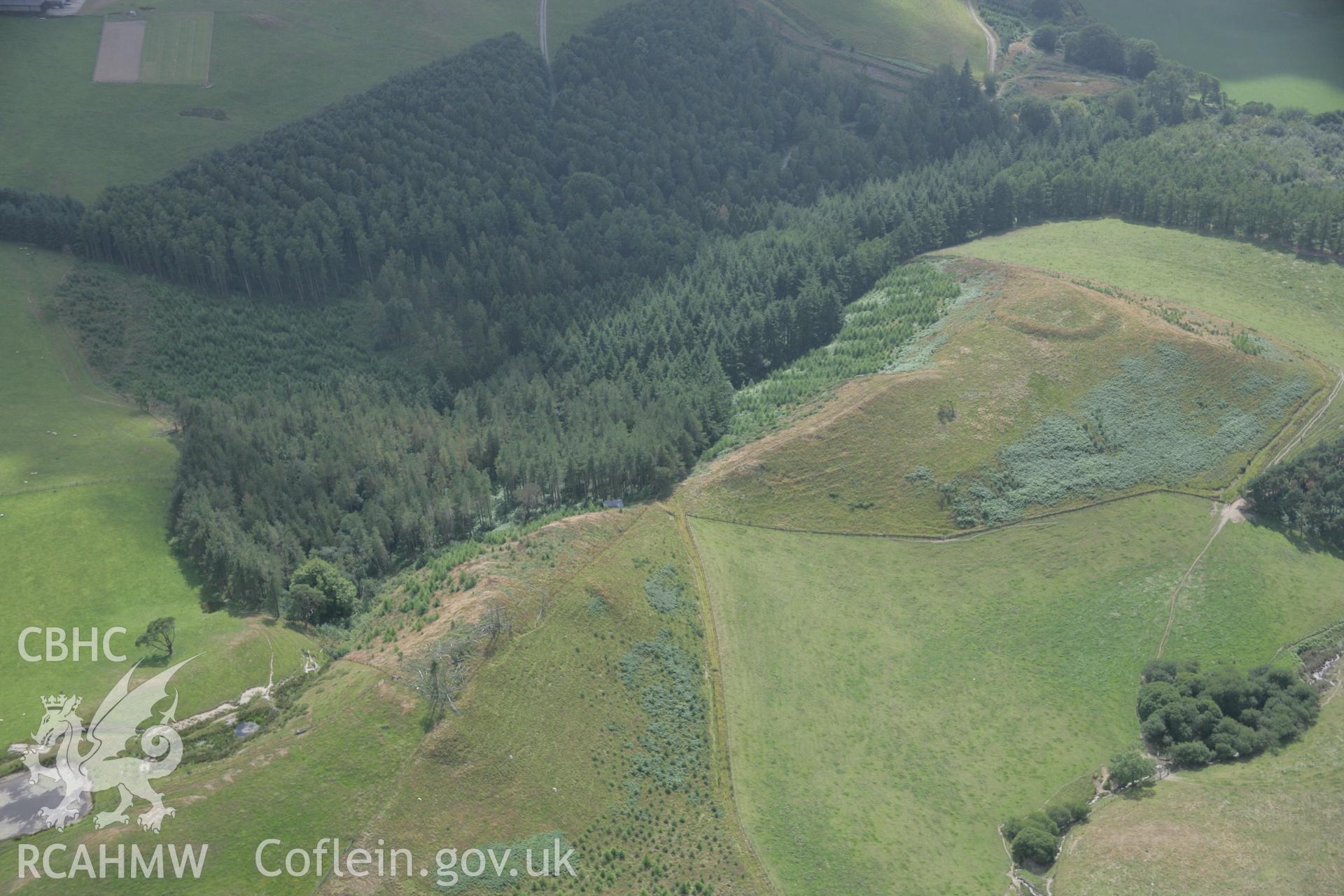
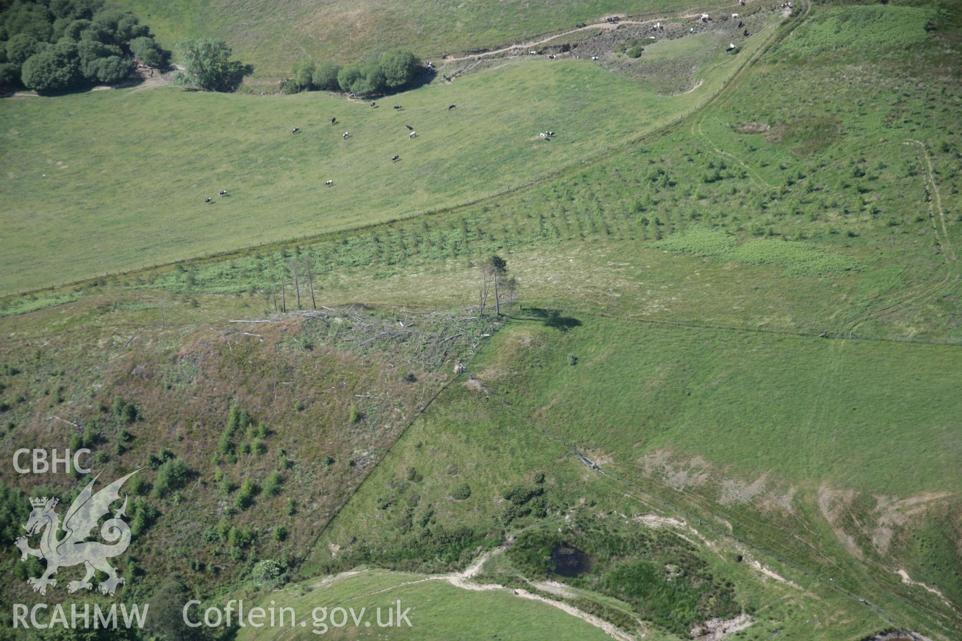
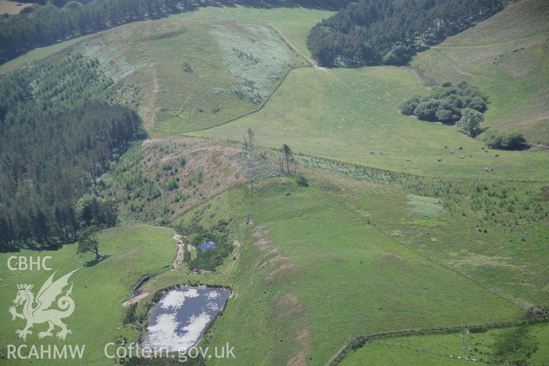
    • Coed Ty'n-y-Cwm Hillfort;Coed Tyn y Cwm
    Manylion
    Delweddau
    Safleoedd Cysylltiedig
    Archifau Cysylltiedig
    Loading Filter Panel
    i bob tudalen
    .tiff version of a map of the three Coed Tyn-y-Cwm forts which are closely spaced together on a series of prominent knolls and ridges separated by a valley to the north of Llanafan, Trawsgoed. Figure 7.17, The Hillforts of Cardigan Bay, Toby Driver.RCAHMW colour oblique photograph of Coed Tyn y Cwm, showing the east fort. Taken by Toby Driver on 20/12/2007.RCAHMW colour oblique photograph of Coed Tyn y Cwm, showing the east fort. Taken by Toby Driver on 20/12/2007.RCAHMW colour oblique aerial photograph of Coed Ty'n-y-Cwm. Taken on 17 July 2006 by Toby Driver.RCAHMW digital colour oblique photograph of Coed Ty'n y Cwm Iron Age Hillfort from the east. Taken on 18/07/2005 by T.G. Driver.RCAHMW colour oblique aerial photograph of Coed Ty'n-y-Cwm from the south-east. This is the first time this site has been visible. Taken on 23 June 2005 by Toby DriverRCAHMW colour oblique aerial photograph of Coed Ty'n-y-Cwm from the east. This is the first time this site has been visible. Taken on 23 June 2005 by Toby Driver
    • Hysbysiad Preifatrwydd
    • Hygyrchedd
    • Termau
    • Materion Cyfreithiol
    • Cymorth
    • Gwefan Comisiwn Brenhinol
    RCAHMW logo
    Comisiwn Brenhinol
    Henebion Cymru


    Royal Commission on the Ancient and
    Historical Monuments of Wales
    Cysylltu â ni
    dragon logo Facebook logo Twitter logo
    © 2021 Trwydded Llywodraeth Anfasnachol
    admin signpost page