• English
  • Beta   Hygyrchedd
    coflein logo
    • Hafan
    • Amdanom
    • Chwilio
    • Orielau
    • Map
    • Cymorth
    • Cysylltwch

    • Canlyniadau Chwilio
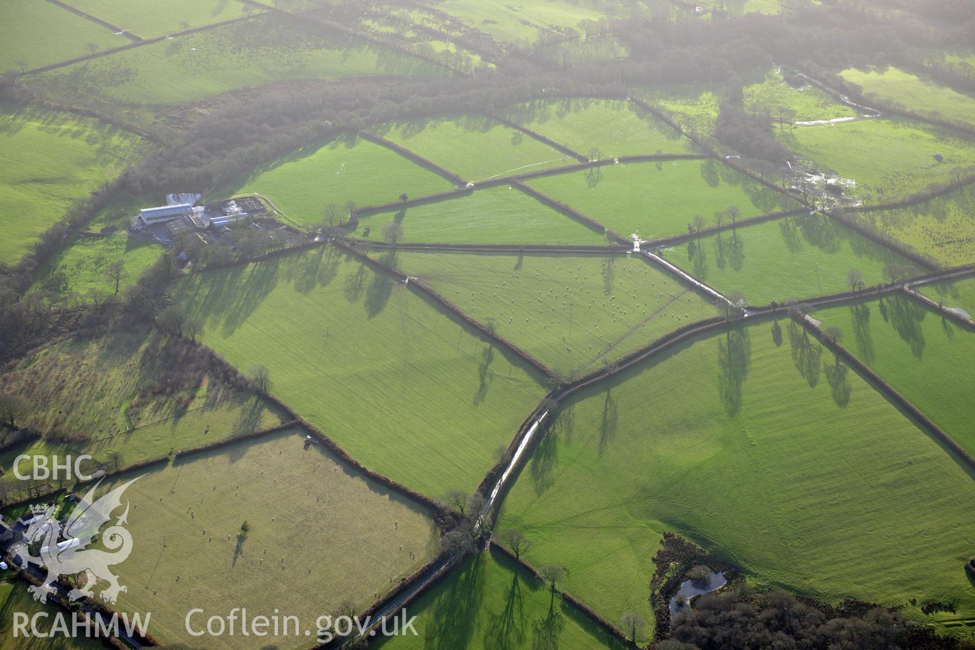
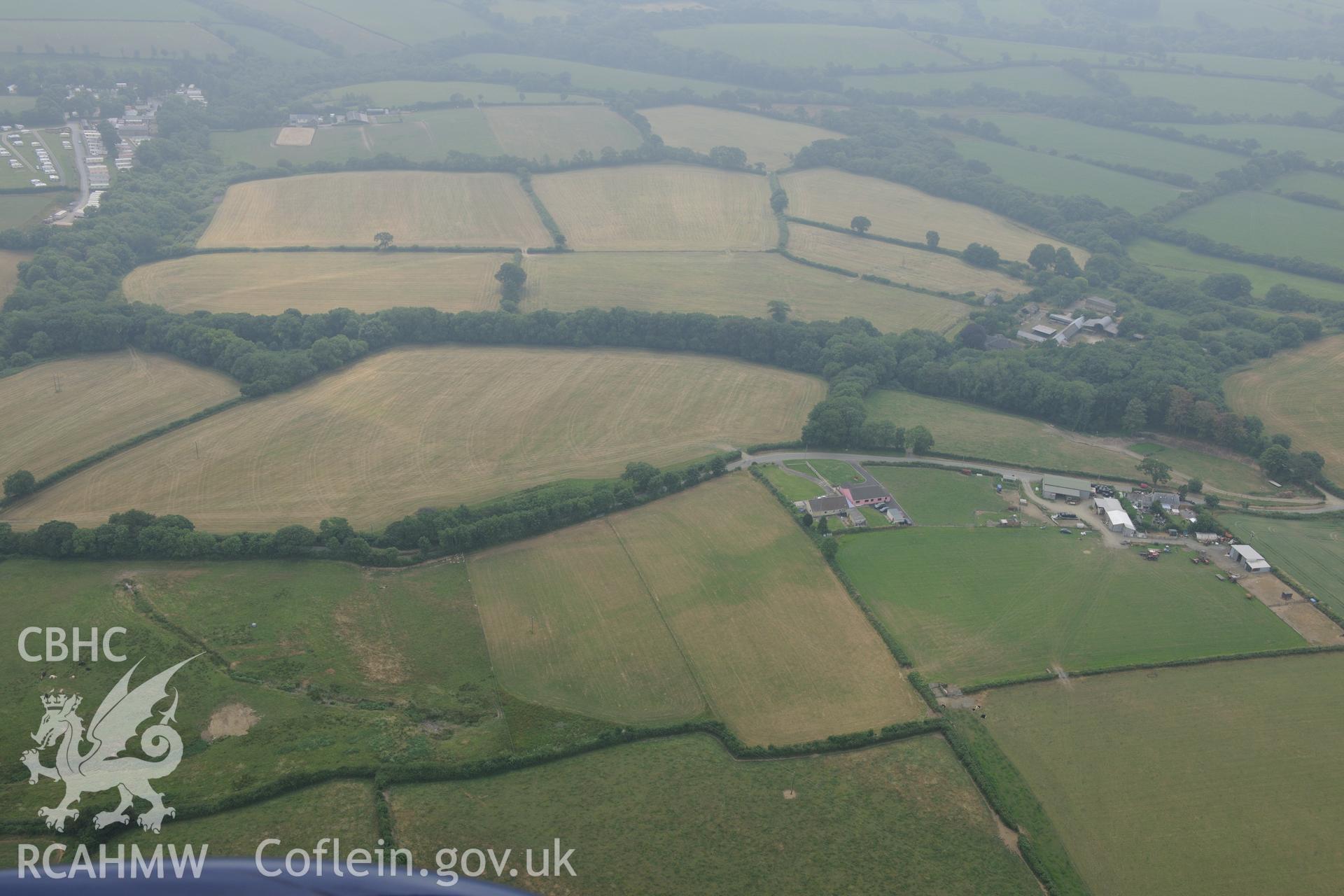
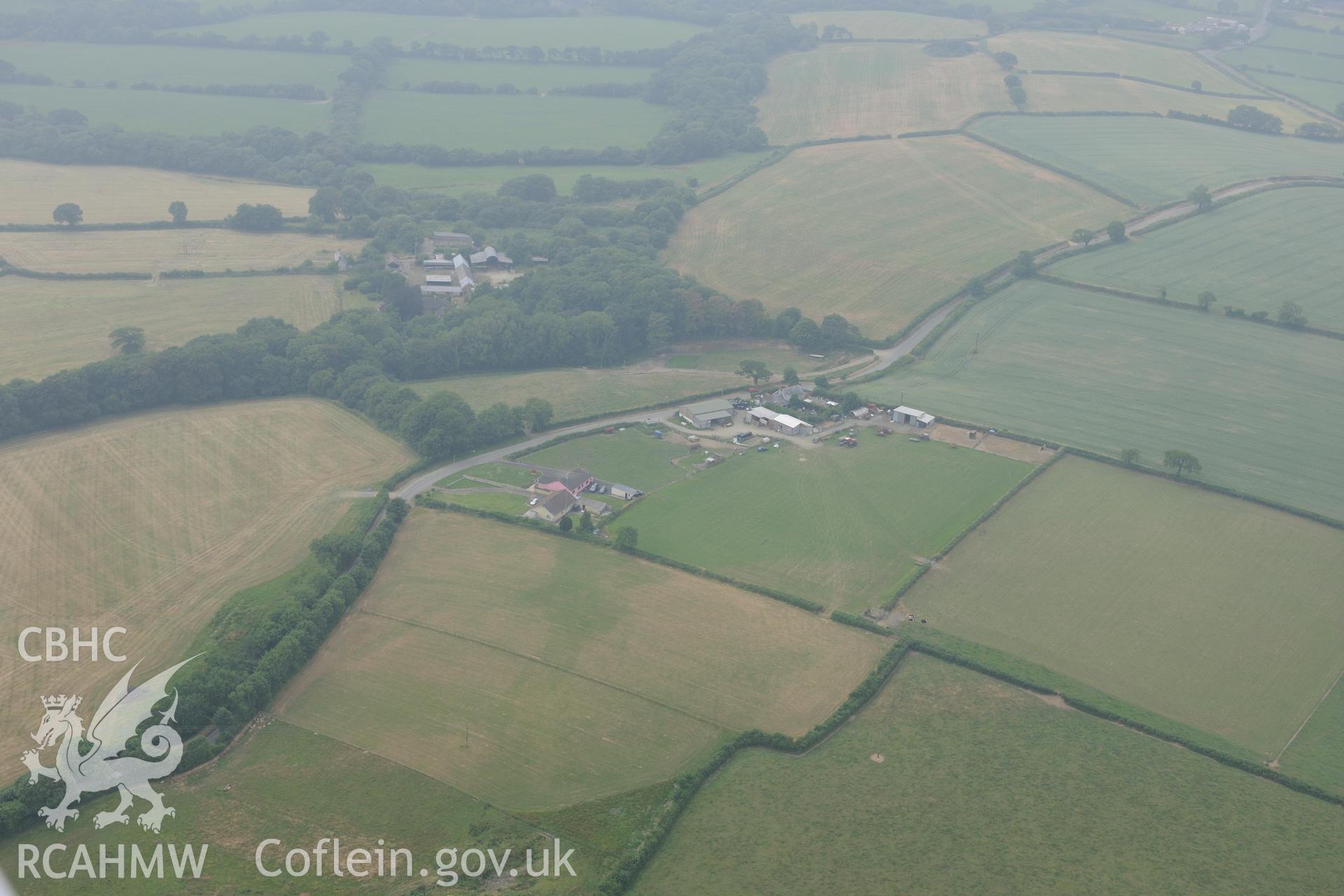
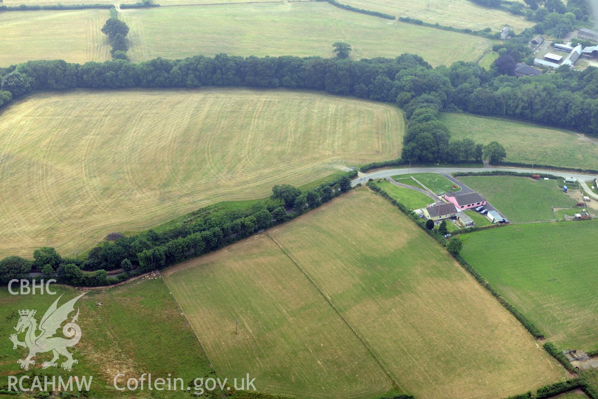
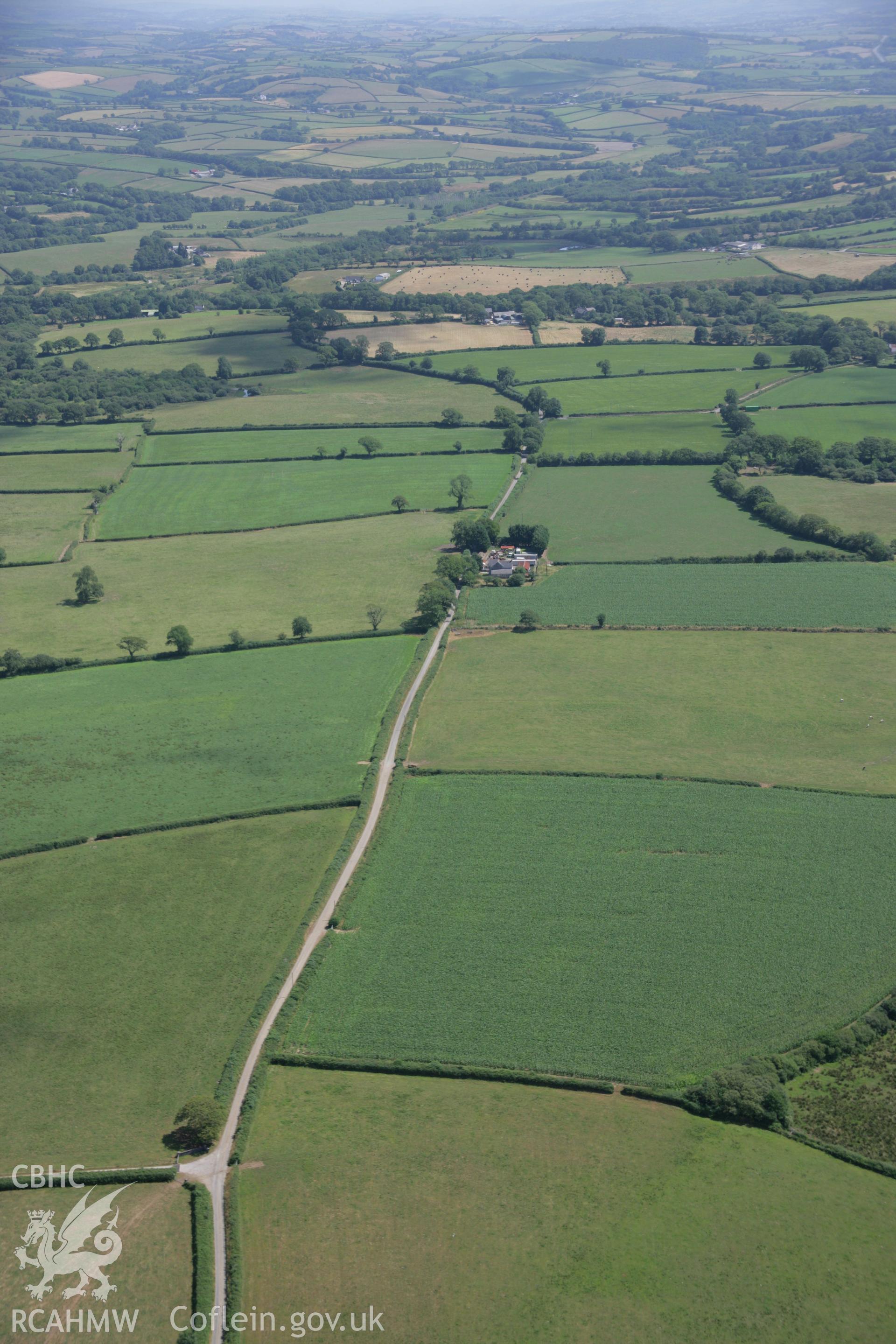
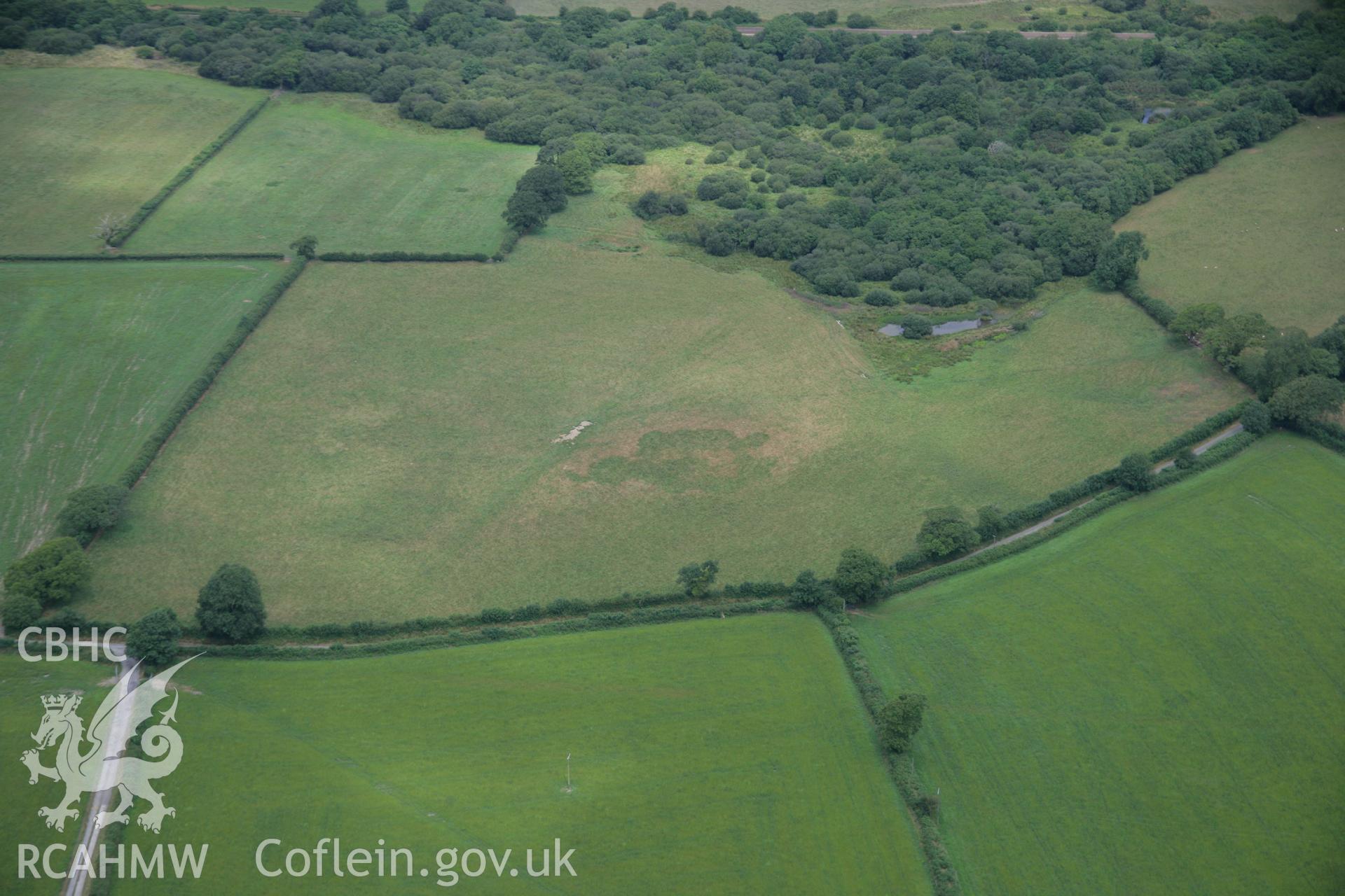
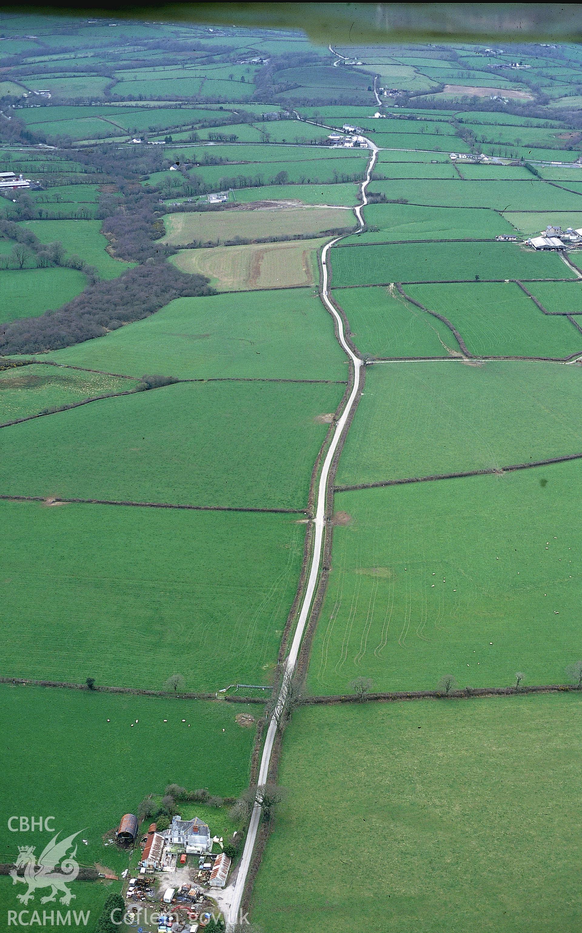
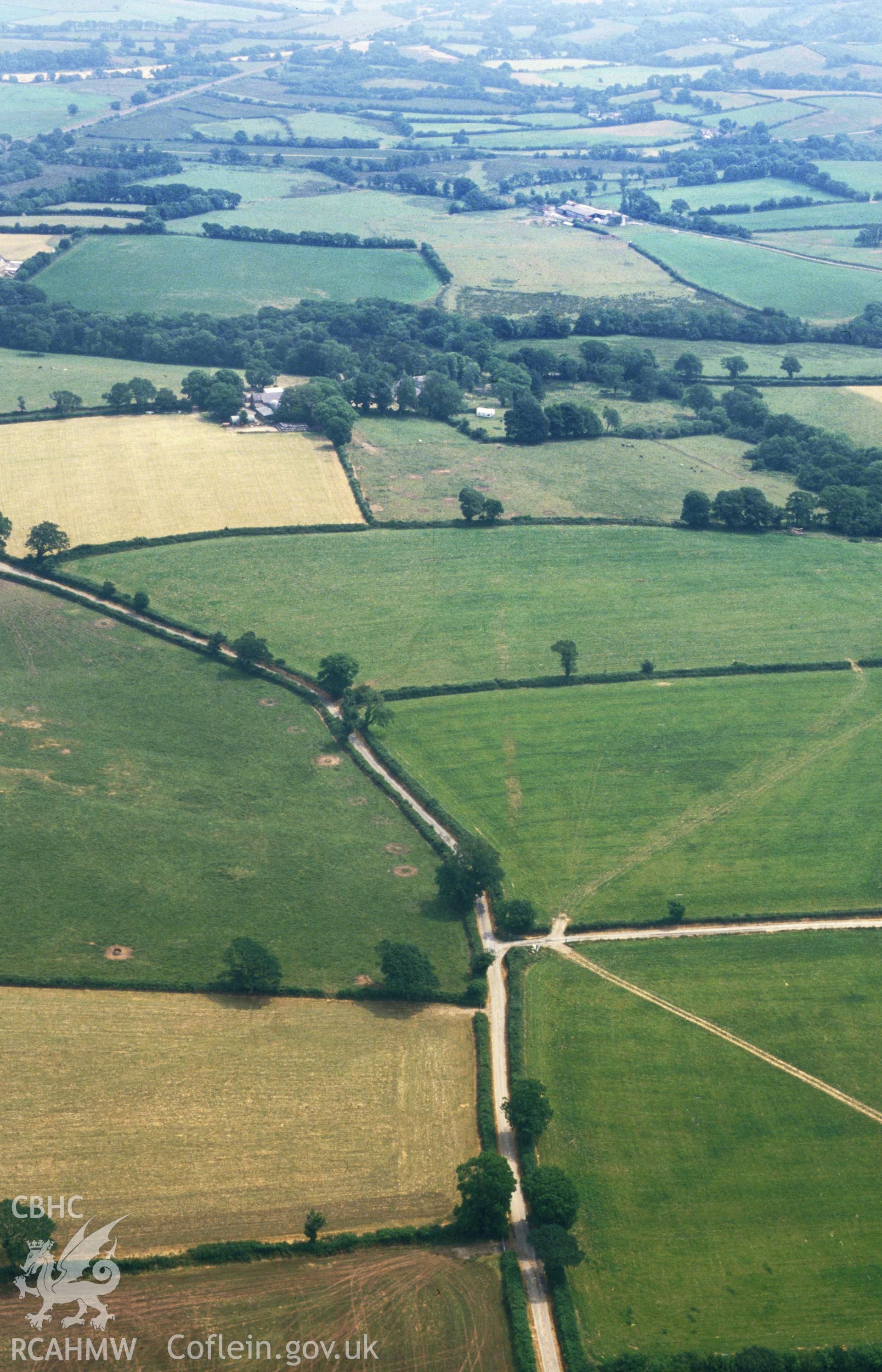
    • Roman Road West of Carmarthen;Via Julia, Glan-Rhyd Section
    Manylion
    Delweddau
    Safleoedd Cysylltiedig
    Archifau Cysylltiedig
    Loading Filter Panel
    i bob tudalen
    Roman Road west of Carmarthen. Oblique aerial photograph taken during the Royal Commission's programme of archaeological aerial reconnaissance by Toby Driver on 6th January 2015.Royal Commission aerial photography of the Roman road west of Carmarthen taken during drought conditions on 22nd July 2013.Royal Commission aerial photography of the Roman road west of Carmarthen taken during drought conditions on 22nd July 2013.Royal Commission aerial photography of the Roman road west of Carmarthen taken during drought conditions on 22nd July 2013.RCAHMW colour oblique aerial photograph of the Roman road west of Carmarthen at Glan-Rhyd. Taken on 24 July 2006 by Toby Driver.RCAHMW colour oblique aerial photograph of the Roman road west of Carmarthen at Glan-Rhyd showing the road quarries. Taken on 27 July 2006 by Toby Driver.RCAHMW colour slide oblique aerial photograph of Roman road east of Clunderwen, Clyynderwen, taken by T.G.Driver on the 15/03/2000RCAHMW colour slide oblique aerial photograph of the Glan-rhyd section of the roman road west of Carmarthen, Clynderwen, taken on 29/06/1992 by CR Musson
    • Hysbysiad Preifatrwydd
    • Hygyrchedd
    • Termau
    • Materion Cyfreithiol
    • Cymorth
    • Gwefan Comisiwn Brenhinol
    RCAHMW logo
    Comisiwn Brenhinol
    Henebion Cymru


    Royal Commission on the Ancient and
    Historical Monuments of Wales
    Cysylltu â ni
    dragon logo Facebook logo Twitter logo
    © 2021 Trwydded Llywodraeth Anfasnachol
    admin signpost page