• English
  • Beta   Hygyrchedd
    coflein logo
    • Hafan
    • Amdanom
    • Chwilio
    • Orielau
    • Map
    • Cymorth
    • Cysylltwch

    • Canlyniadau Chwilio
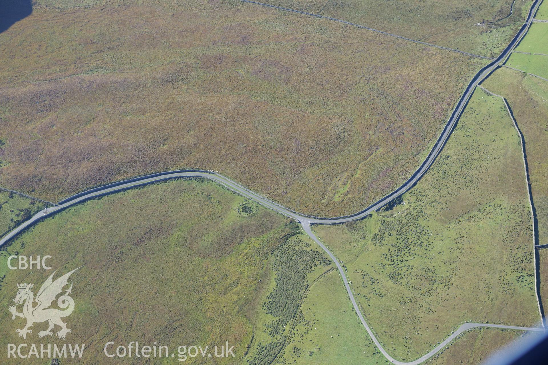
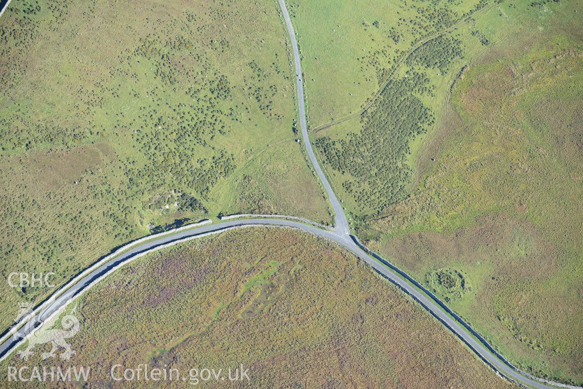
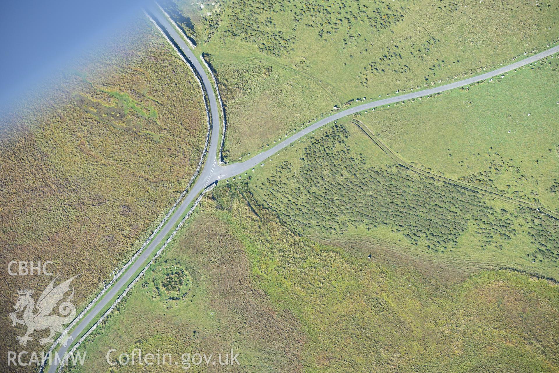
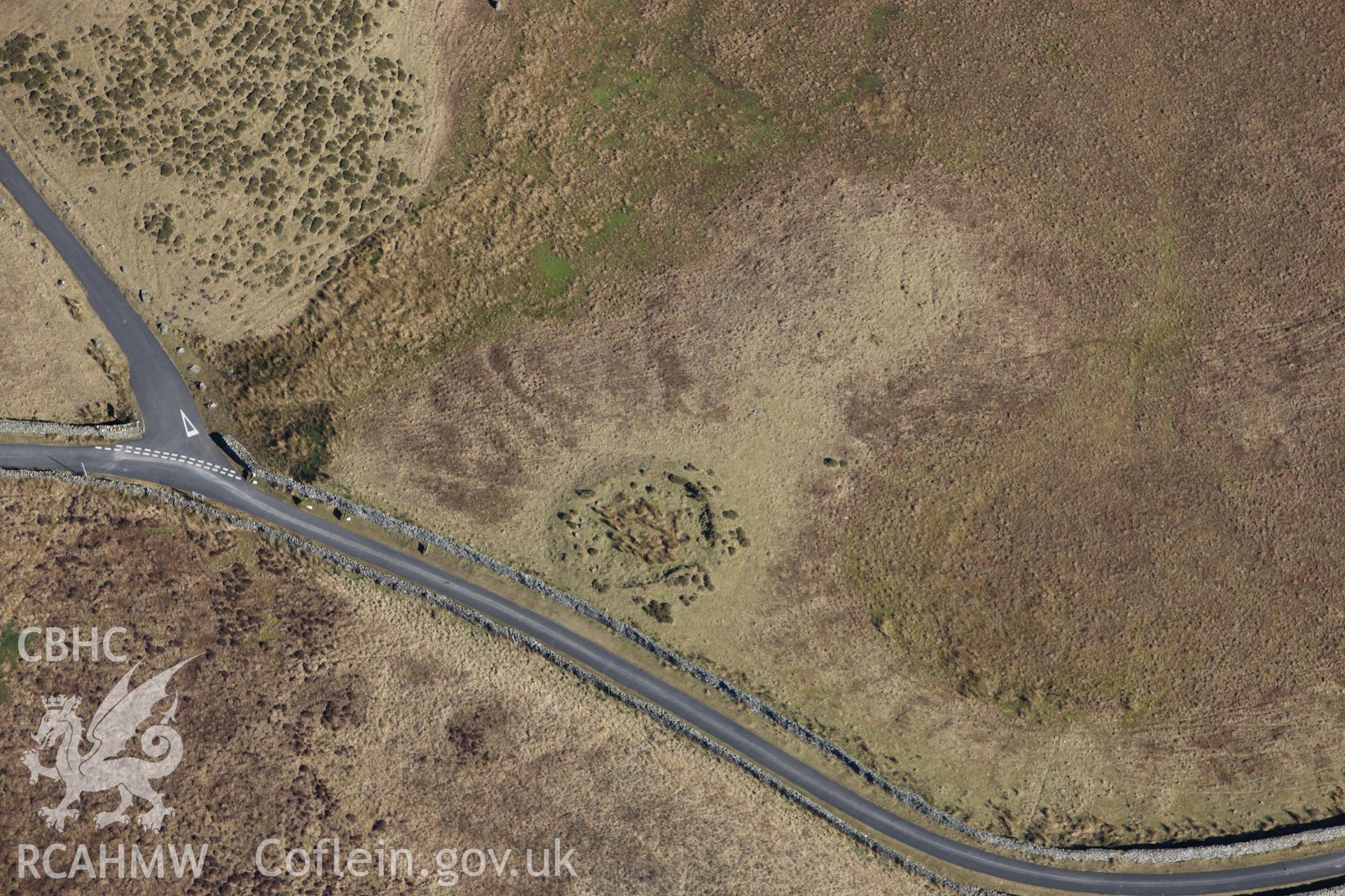
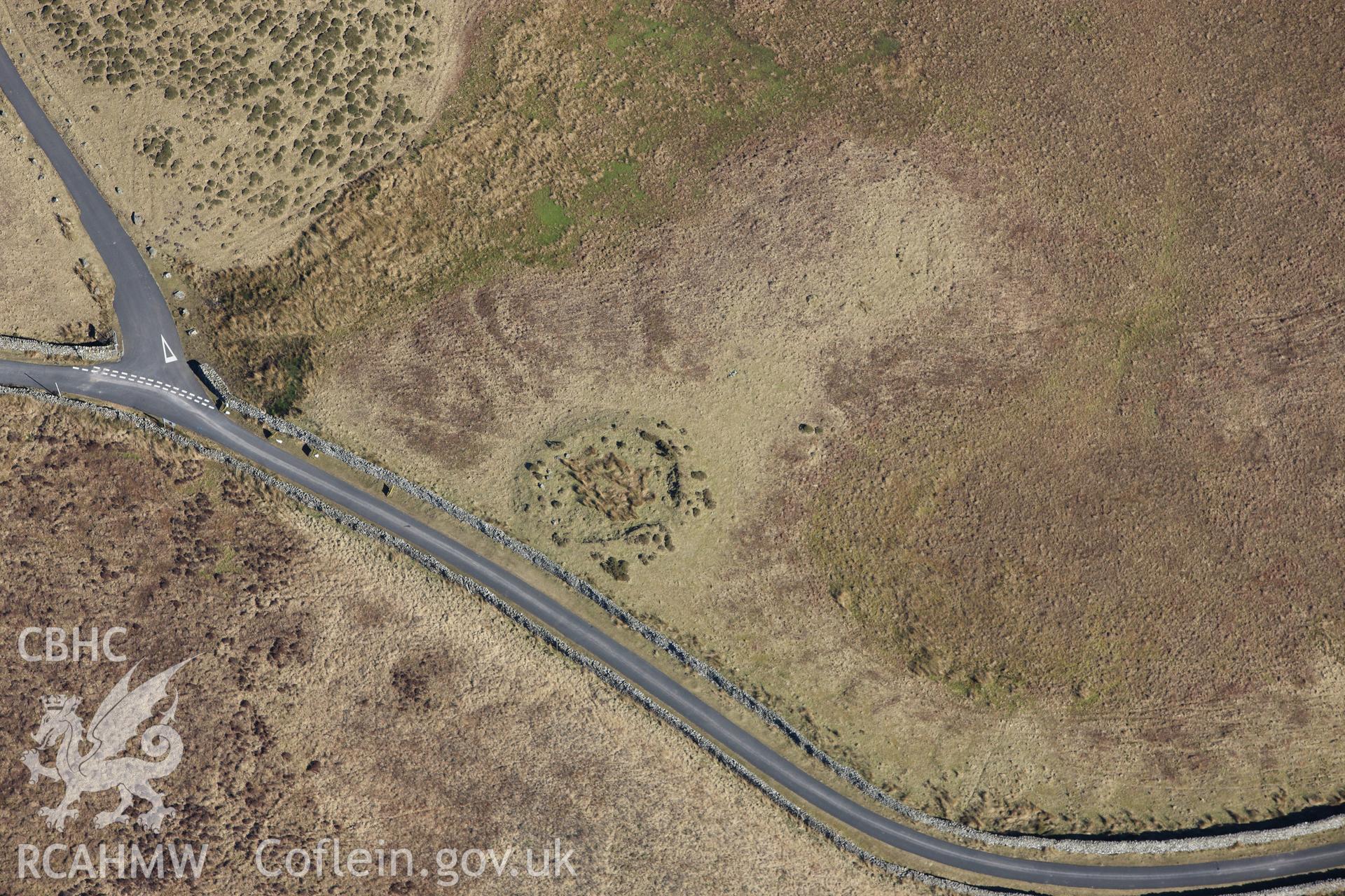
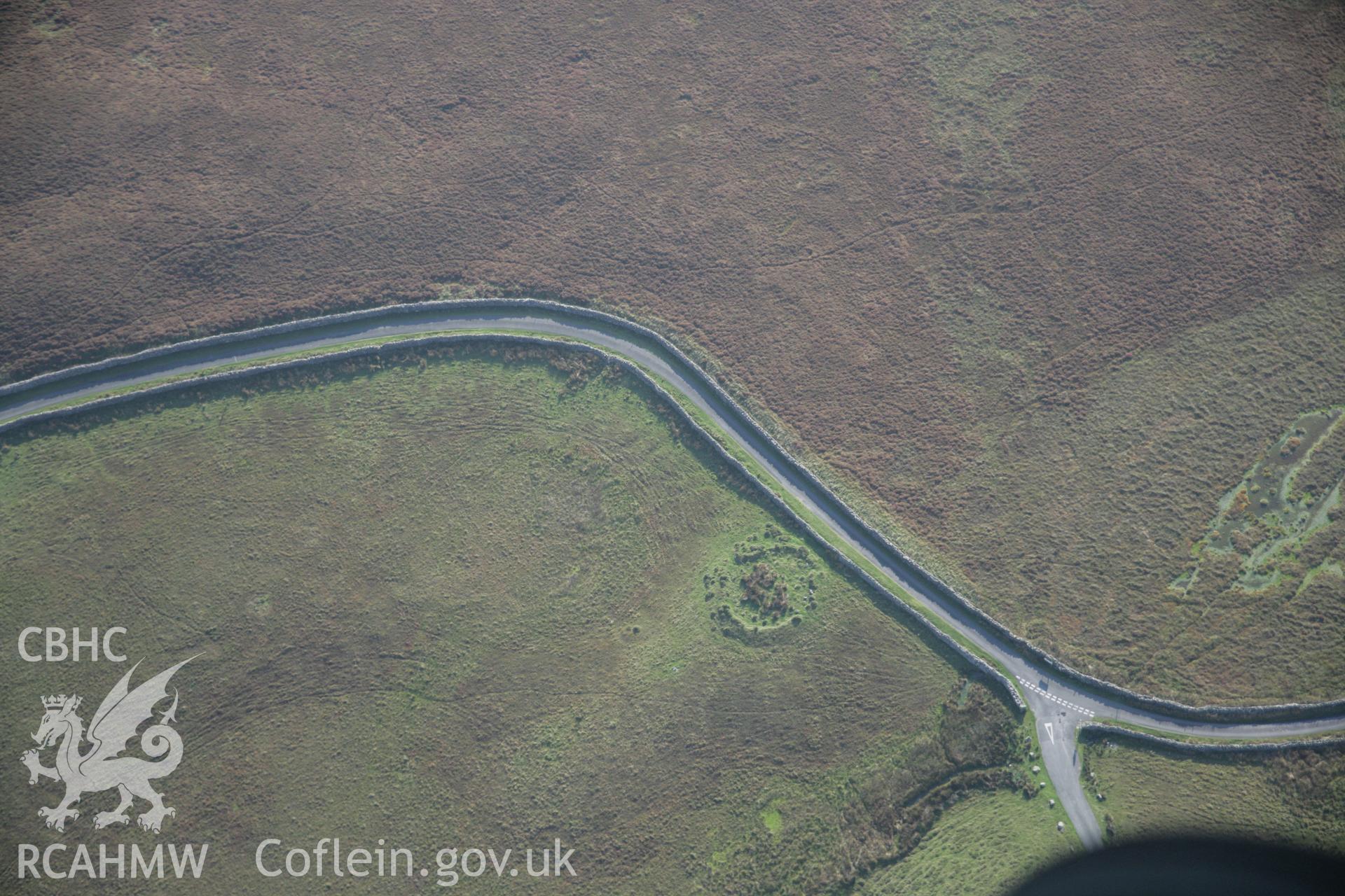
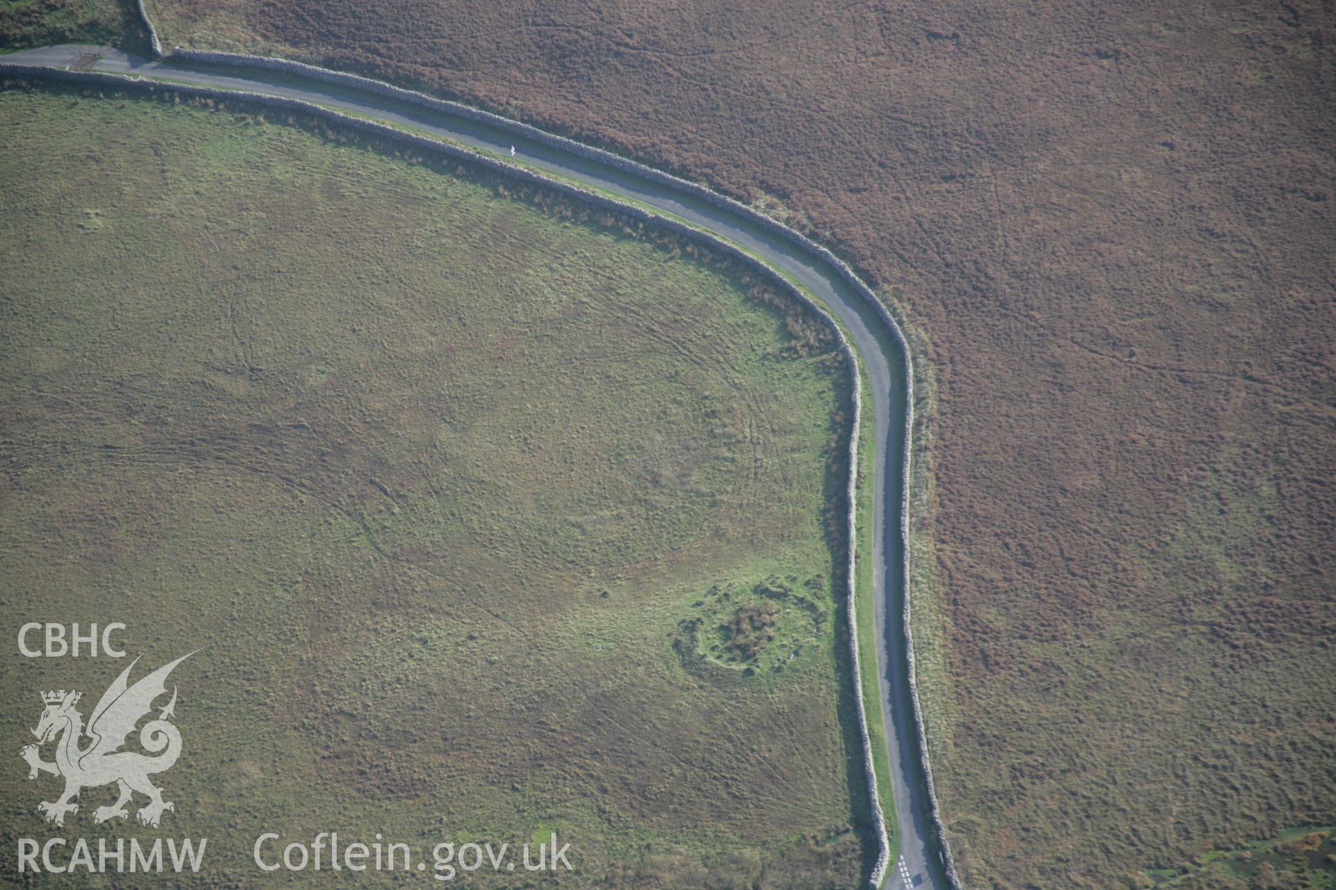
    • Hafotty Fach, Cairn E of;The Cregennan Cairn and Standing Stones
    Manylion
    Delweddau
    Safleoedd Cysylltiedig
    Archifau Cysylltiedig
    Loading Filter Panel
    i bob tudalen
    The Cregennan cairn and standing stones east of Hafotty Fach, on Tyrrau Mawr, Cadair Idris. Oblique aerial photograph taken during the Royal Commission's programme of archaeological aerial reconnaissance by Toby Driver on 2nd October 2015.The Cregennan cairn and standing stones east of Hafotty Fach, on Tyrrau Mawr, Cadair Idris. Oblique aerial photograph taken during the Royal Commission's programme of archaeological aerial reconnaissance by Toby Driver on 2nd October 2015.The Cregennan cairn and standing stones east of Hafotty Fach, on Tyrrau Mawr, Cadair Idris. Oblique aerial photograph taken during the Royal Commission's programme of archaeological aerial reconnaissance by Toby Driver on 2nd October 2015.RCAHMW colour oblique photograph of The Cregennen Cairn , east of Hafotty fach. Taken by Toby Driver on 08/03/2010.RCAHMW colour oblique photograph of The Cregennen Cairn , east of Hafotty fach. Taken by Toby Driver on 08/03/2010.RCAHMW colour oblique aerial photograph of a cairn east of Hafotty Fach looking south-west. Taken on 17 October 2005 by Toby DriverRCAHMW colour oblique aerial photograph of a cairn east of Hafotty Fach looking south-east. Taken on 17 October 2005 by Toby Driver
    • Hysbysiad Preifatrwydd
    • Hygyrchedd
    • Termau
    • Materion Cyfreithiol
    • Cymorth
    • Gwefan Comisiwn Brenhinol
    RCAHMW logo
    Comisiwn Brenhinol
    Henebion Cymru


    Royal Commission on the Ancient and
    Historical Monuments of Wales
    Cysylltu â ni
    dragon logo Facebook logo Twitter logo
    © 2021 Trwydded Llywodraeth Anfasnachol
    admin signpost page