• English
  • Beta   Hygyrchedd
    coflein logo
    • Hafan
    • Amdanom
    • Chwilio
    • Orielau
    • Map
    • Cymorth
    • Cysylltwch

    • Canlyniadau Chwilio
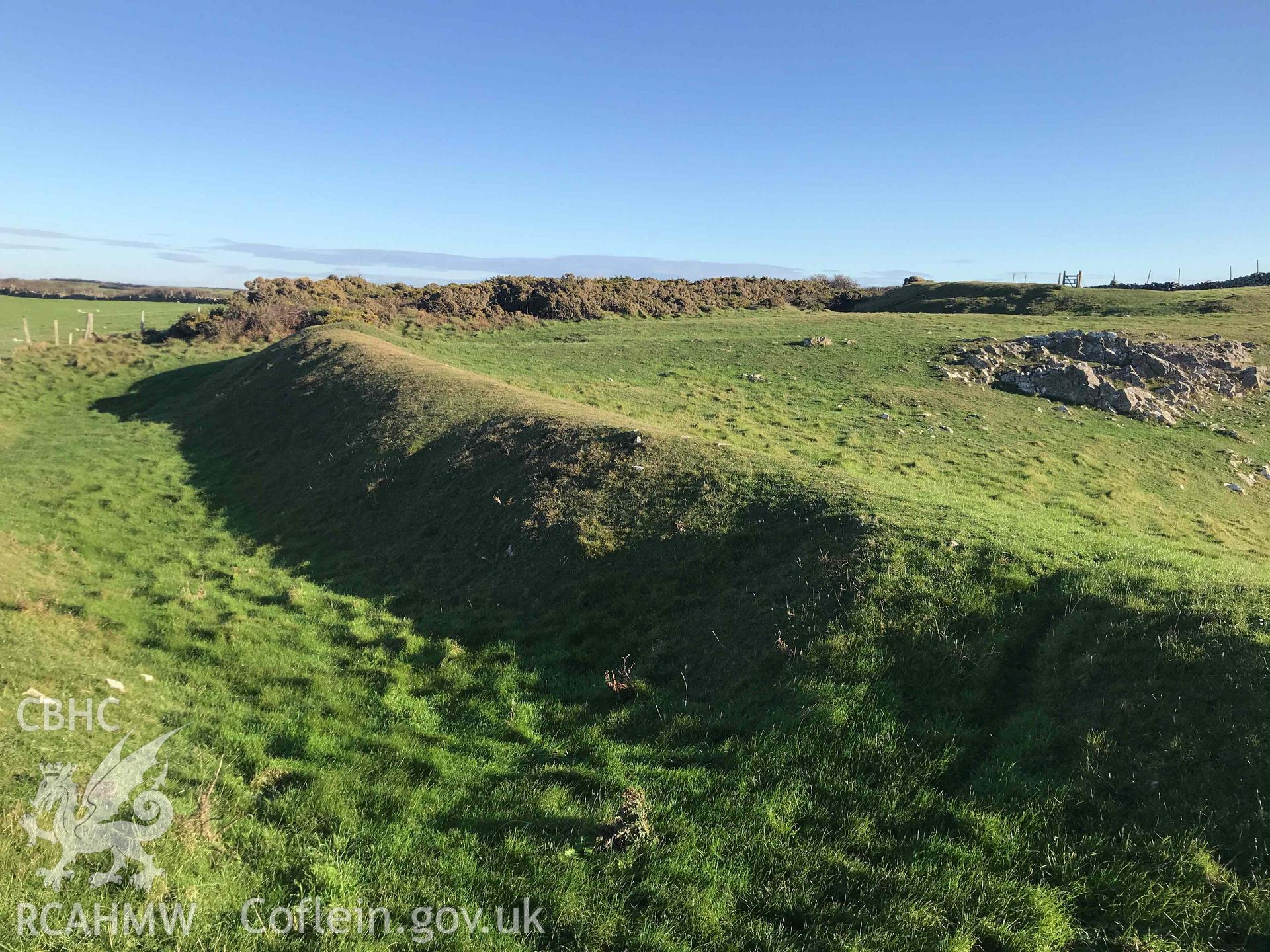
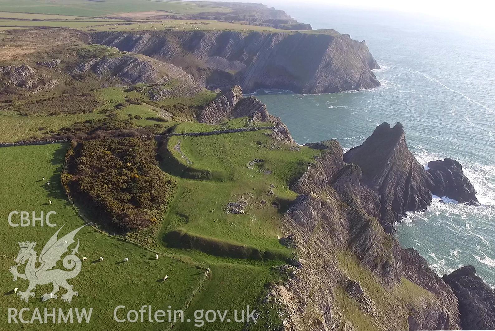
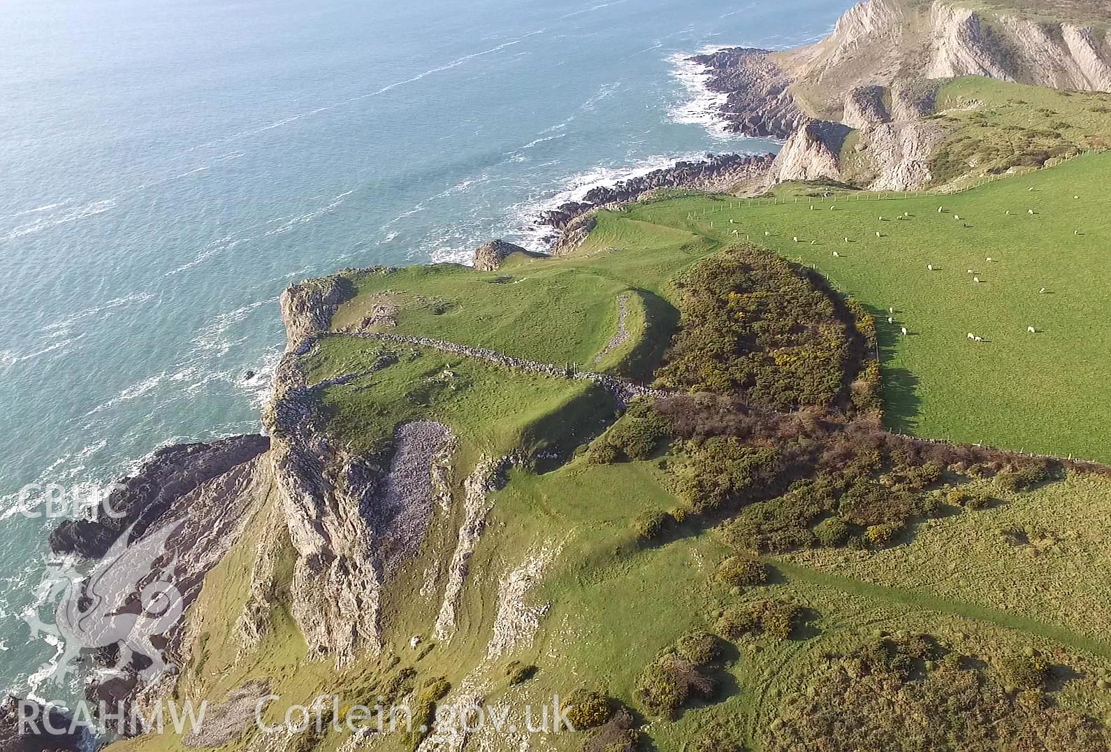
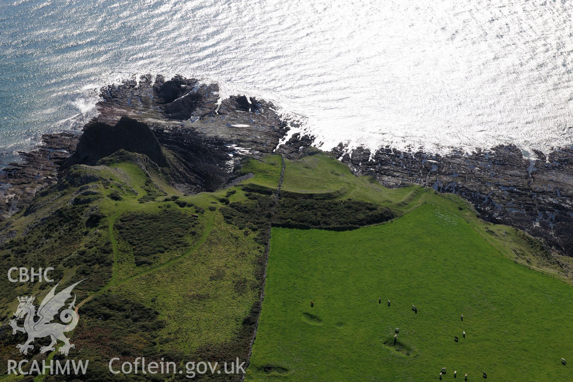
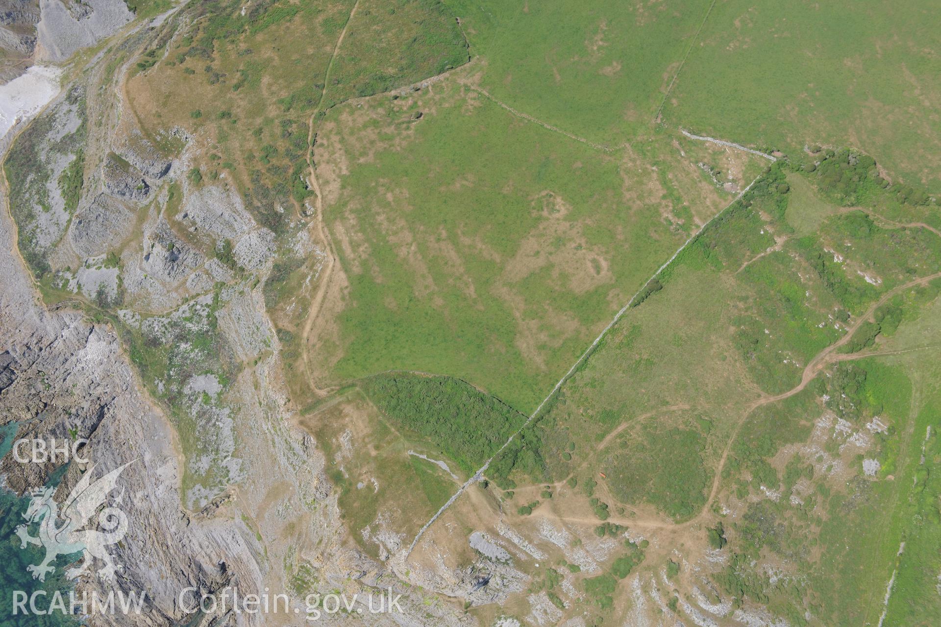
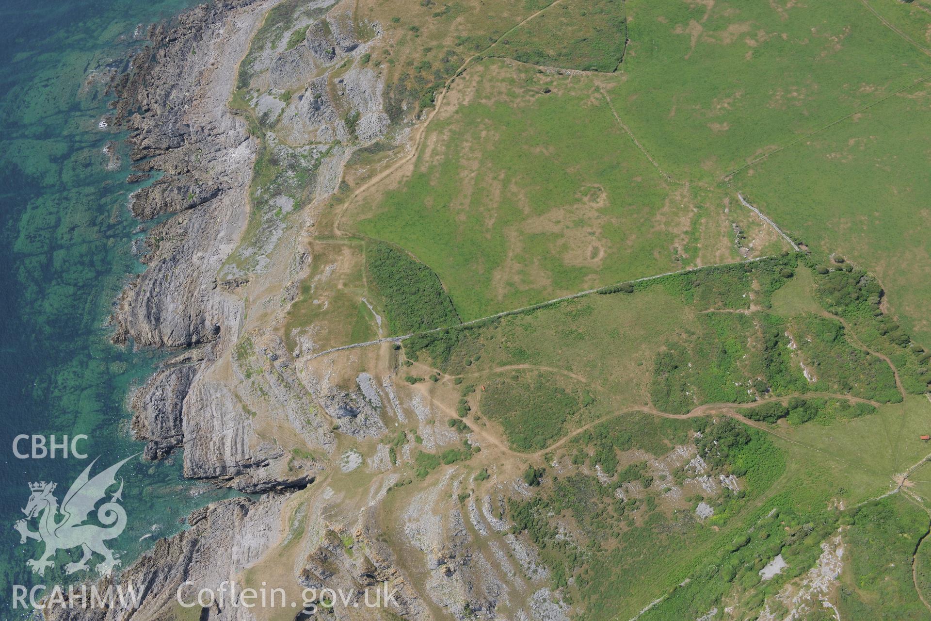
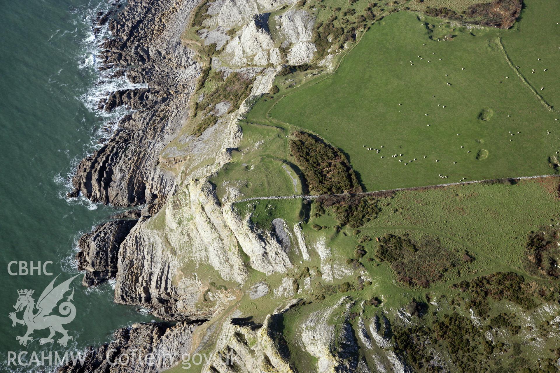
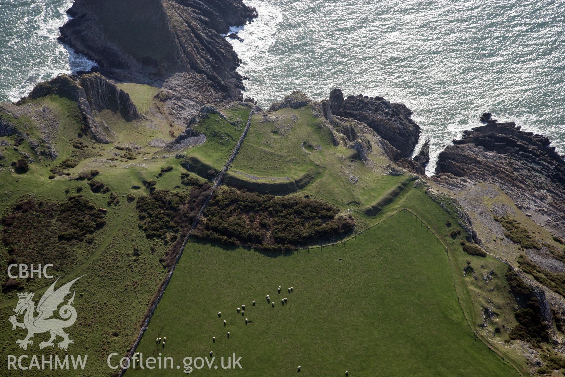
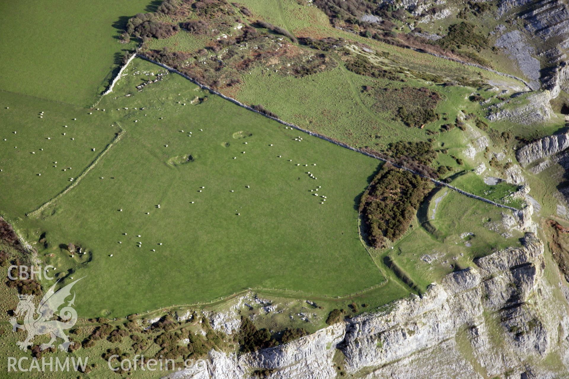
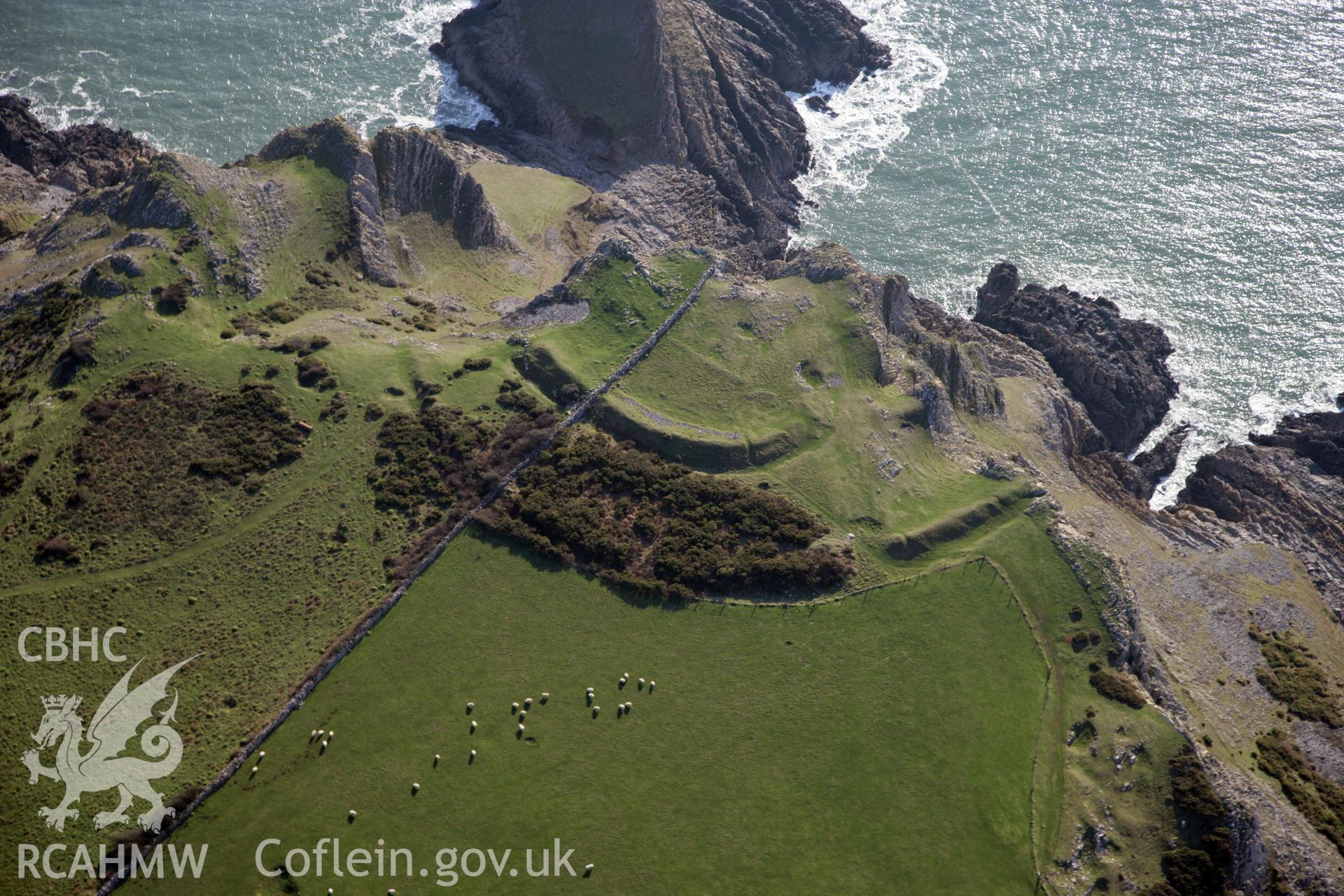
    • The Knave Promontory Fort; scheduled as: Deborah's Hole Camp
    Manylion
    Delweddau
    Safleoedd Cysylltiedig
    Archifau Cysylltiedig
    Loading Filter Panel
    i bob tudalen
    • 1
    • 2
    • 3
    Digital photograph of outer rampart of the Knave promontory fort, produced by Paul Davis in 2020Colour photo showing The Knave Promontory Fort, produced by  Paul R. Davis,  2017.Colour photo showing The Knave Promontory Fort, produced by  Paul R. Davis,  2017.The Knave promontory fort, on the south western shore of the Gower Peninsula. Oblique aerial photograph taken during the Royal Commission's programme of archaeological aerial reconnaissance by Toby Driver on 30th September 2015.Deborah's Hole Camp or The Knave Promontory Fort. Oblique aerial photograph taken during the Royal Commission?s programme of archaeological aerial reconnaissance by Toby Driver on 16th July 2013.Deborah's Hole Camp or The Knave Promontory Fort. Oblique aerial photograph taken during the Royal Commission?s programme of archaeological aerial reconnaissance by Toby Driver on 16th July 2013.RCAHMW colour oblique photograph of Deborah's Hole Camp. Taken by Toby Driver on 02/02/2012.RCAHMW colour oblique photograph of Deborah's Hole Camp. Taken by Toby Driver on 02/02/2012.RCAHMW colour oblique photograph of Deborah's Hole Camp. Taken by Toby Driver on 02/02/2012.RCAHMW colour oblique photograph of Deborah's Hole Camp. Taken by Toby Driver on 02/02/2012.
    • Hysbysiad Preifatrwydd
    • Hygyrchedd
    • Termau
    • Materion Cyfreithiol
    • Cymorth
    • Gwefan Comisiwn Brenhinol
    RCAHMW logo
    Comisiwn Brenhinol
    Henebion Cymru


    Royal Commission on the Ancient and
    Historical Monuments of Wales
    Cysylltu â ni
    dragon logo Facebook logo Twitter logo
    © 2021 Trwydded Llywodraeth Anfasnachol
    admin signpost page