• English
  • Beta   Hygyrchedd
    coflein logo
    • Hafan
    • Amdanom
    • Chwilio
    • Orielau
    • Map
    • Cymorth
    • Cysylltwch

    • Canlyniadau Chwilio
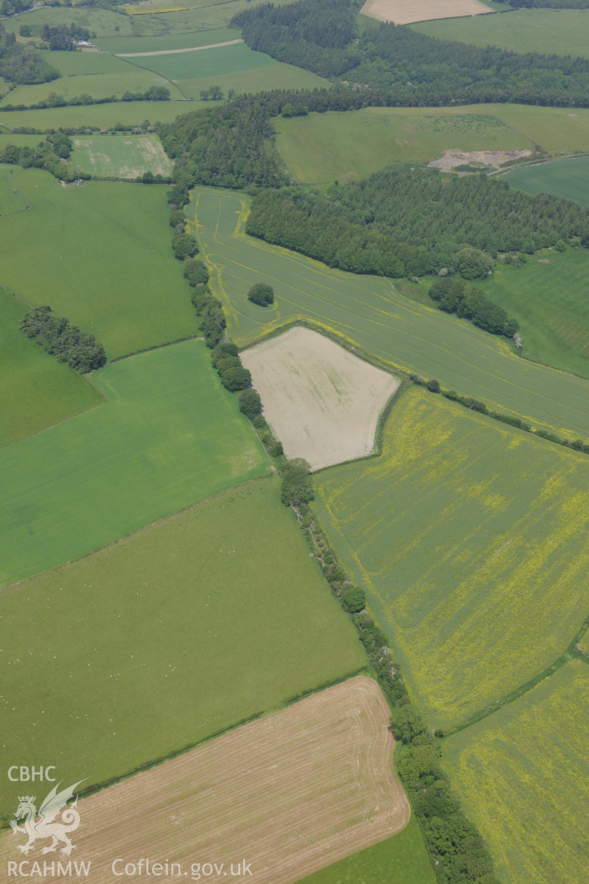
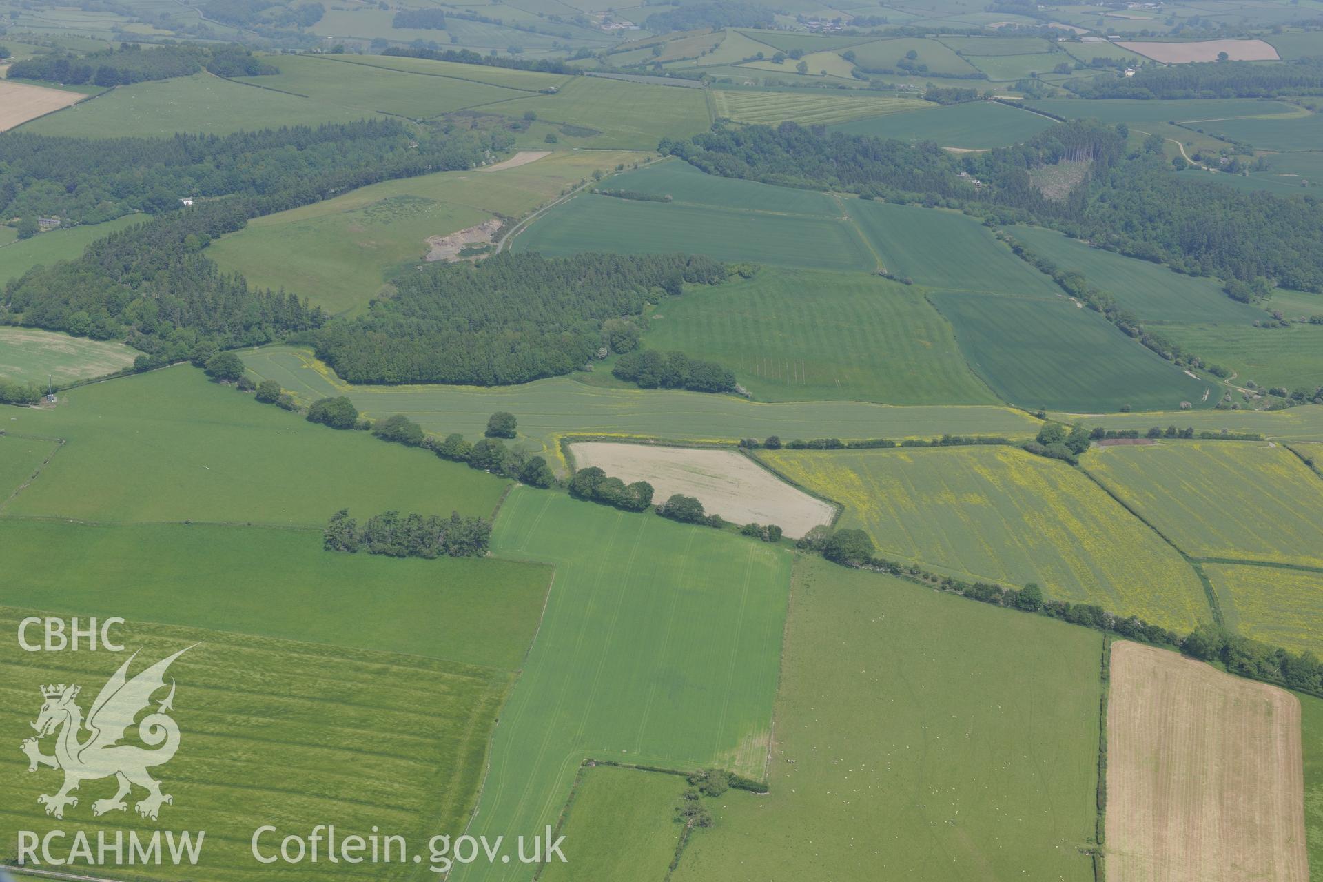
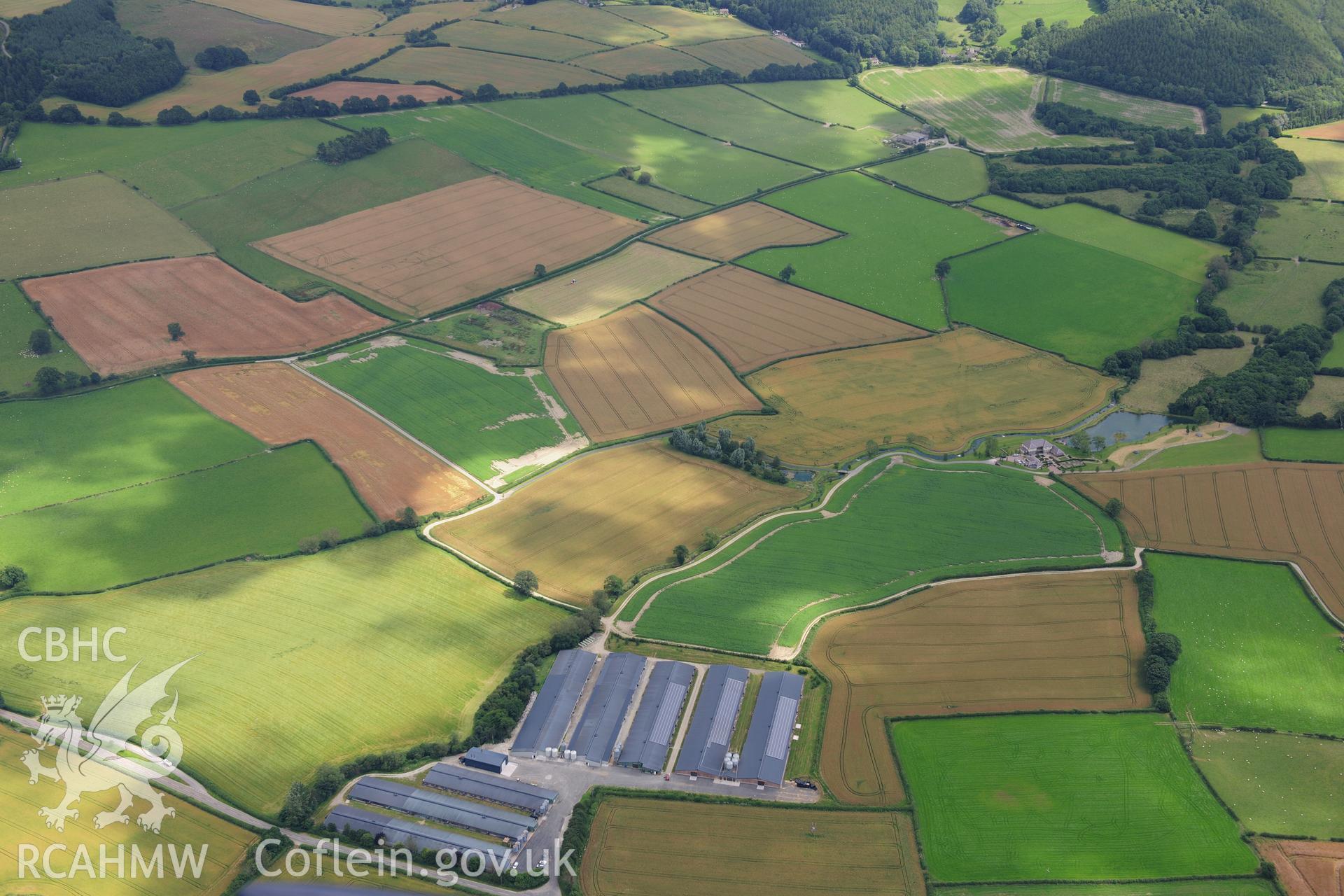
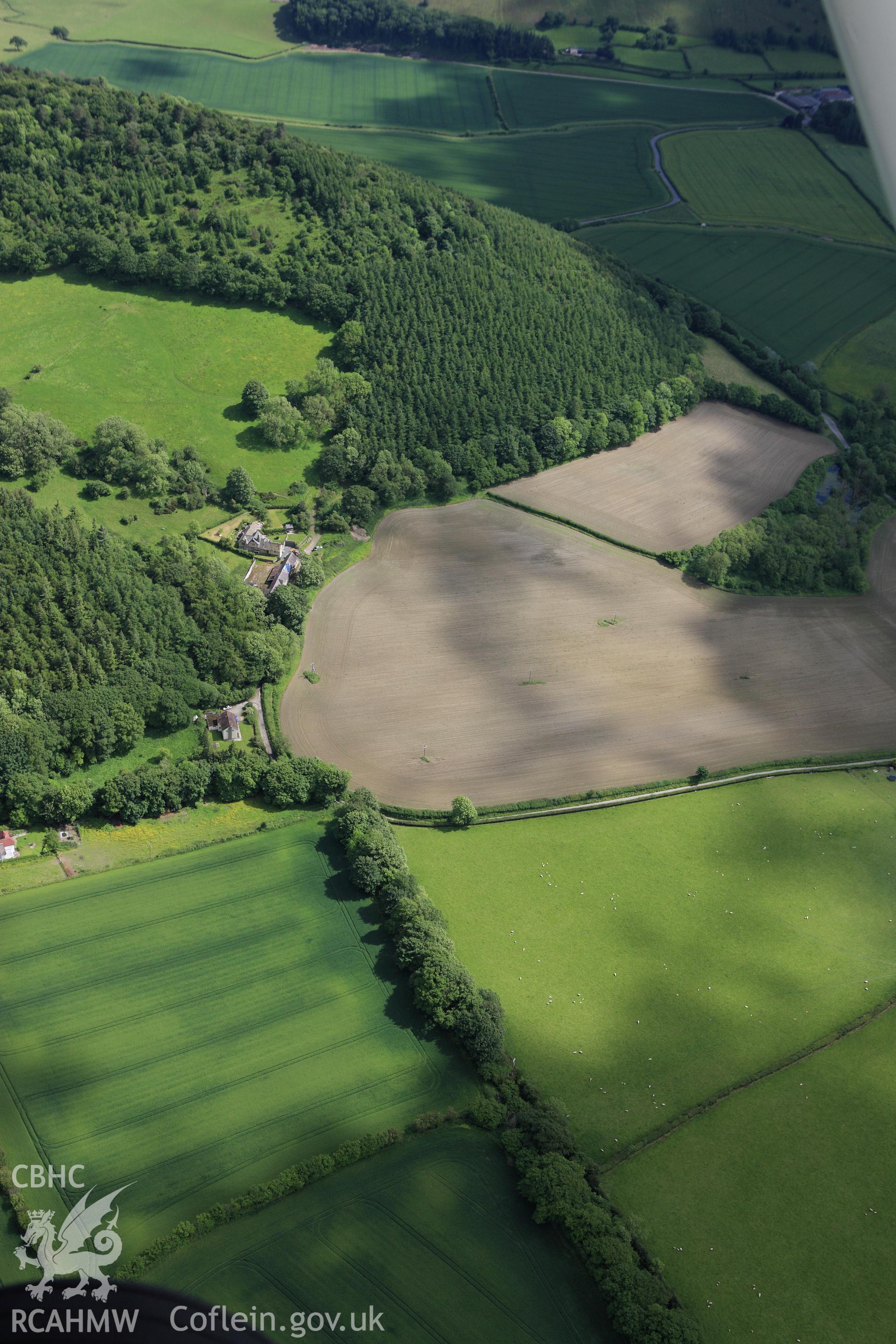
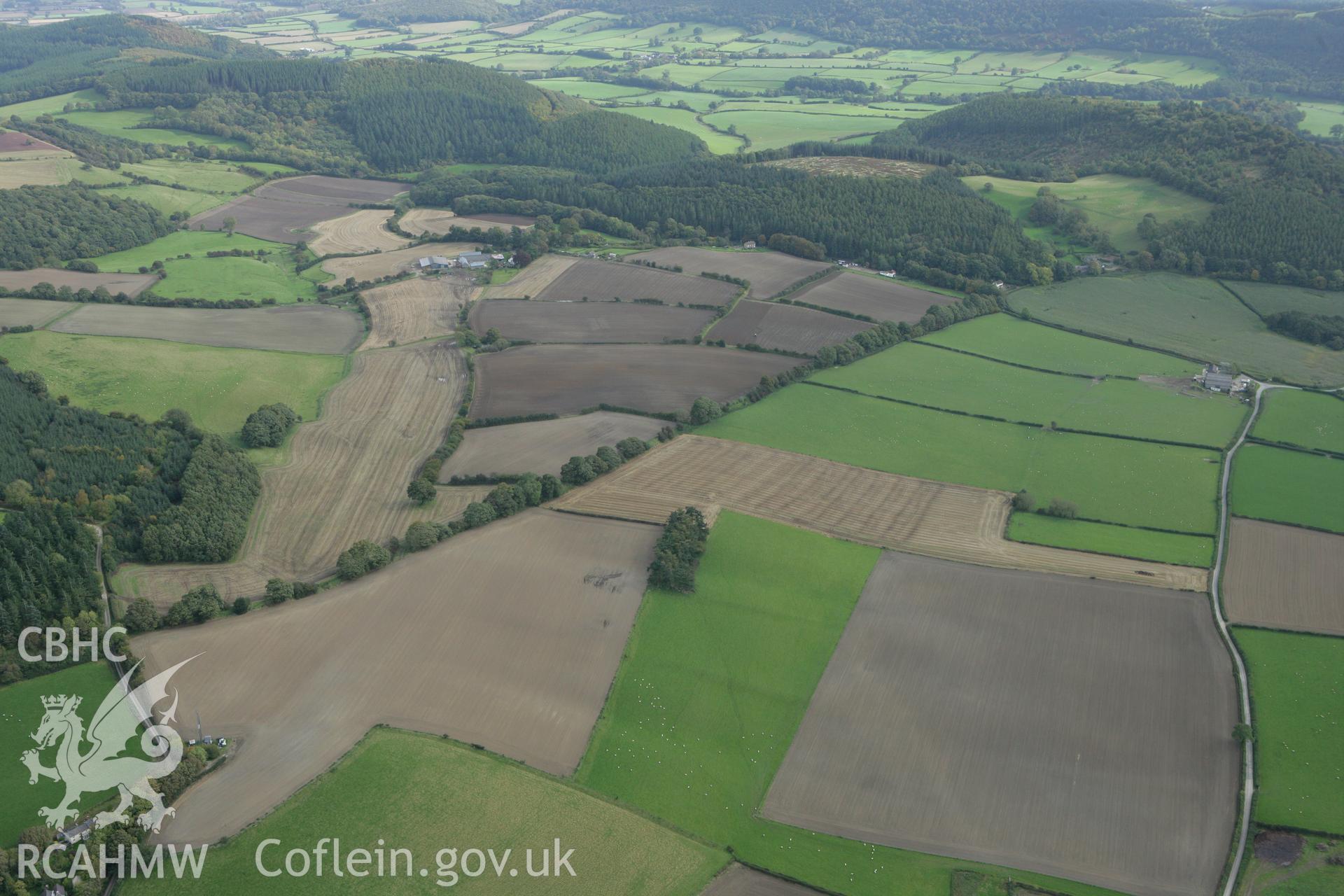
    • Offa's Dyke: Section Extending 1490M From Granner Wood to Burfa
    Manylion
    Delweddau
    Safleoedd Cysylltiedig
    Archifau Cysylltiedig
    Loading Filter Panel
    i bob tudalen
    Section of Offa's Dyke near Prestigne. Oblique aerial photograph taken during the Royal Commission's programme of archaeological aerial reconnaissance by Toby Driver on 11th June 2015.Section of Offa's Dyke near Prestigne. Oblique aerial photograph taken during the Royal Commission's programme of archaeological aerial reconnaissance by Toby Driver on 11th June 2015.RCAHMW colour oblique photograph of Offa's Dyke, distant view from west over Knobley. Taken by Toby Driver on 27/07/2012.RCAHMW colour oblique aerial photograph of a section of Offa's Dyke extending 1490m From Granner Wood to Burfa. Taken on 11 June 2009 by Toby DriverRCAHMW colour oblique photograph of Offa's Dyke, section extending 1490m from Granner Wood to Burfa. Taken by Toby Driver on 10/10/2008.
    • Hysbysiad Preifatrwydd
    • Hygyrchedd
    • Termau
    • Materion Cyfreithiol
    • Cymorth
    • Gwefan Comisiwn Brenhinol
    RCAHMW logo
    Comisiwn Brenhinol
    Henebion Cymru


    Royal Commission on the Ancient and
    Historical Monuments of Wales
    Cysylltu â ni
    dragon logo Facebook logo Twitter logo
    © 2021 Trwydded Llywodraeth Anfasnachol
    admin signpost page