• English
  • Beta   Hygyrchedd
    coflein logo
    • Hafan
    • Amdanom
    • Chwilio
    • Orielau
    • Map
    • Cymorth
    • Cysylltwch

    • Canlyniadau Chwilio
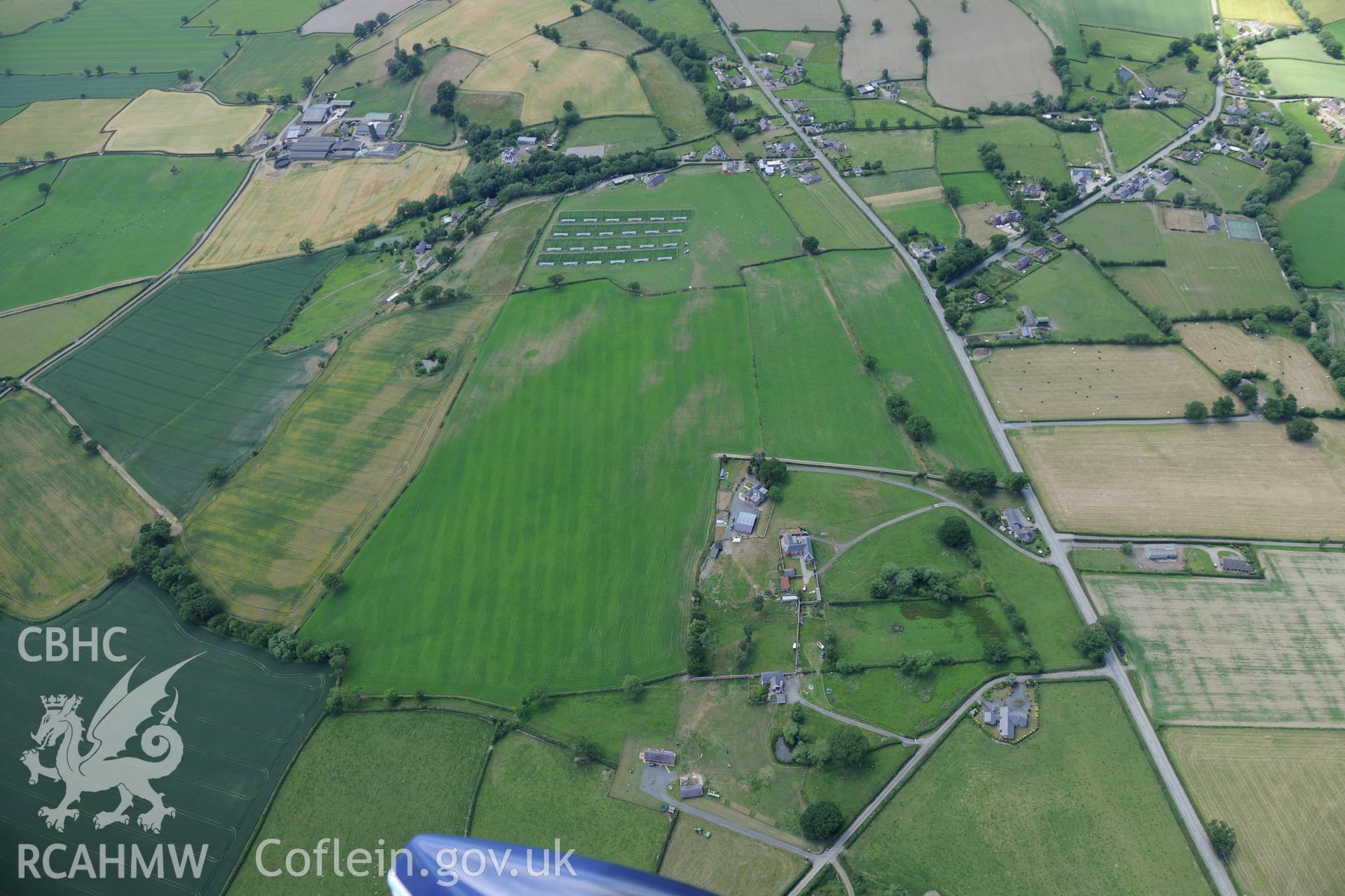
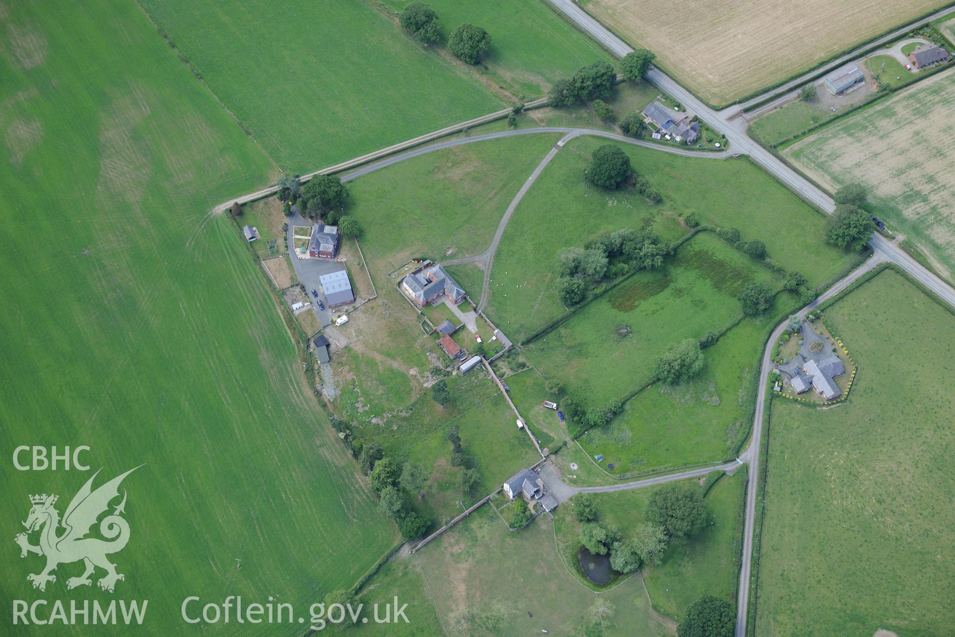
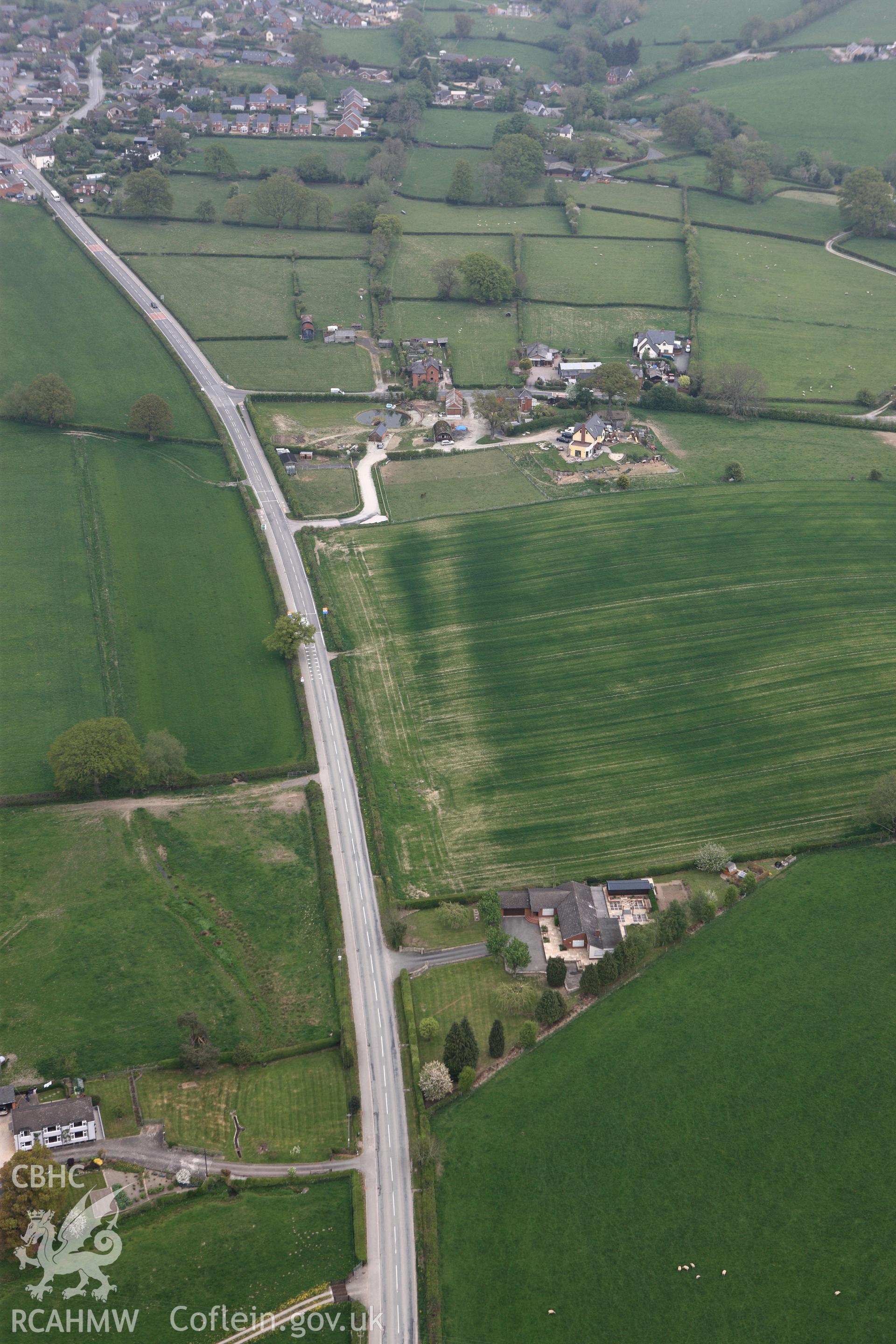
    • Offa's Dyke: Section From Point 90M S of Chirbury Road to S Boundary of Nant-Cribau Park
    Manylion
    Delweddau
    Safleoedd Cysylltiedig
    Archifau Cysylltiedig
    Loading Filter Panel
    i bob tudalen
    Forden and the section of Offa's Dyke from 90m south of Chirbury road to the southern boundary of Nant-Cribau park. Oblique aerial photograph taken during the Royal Commission's programme of archaeological aerial reconnaissance by Toby Driver on 30/6/2015.Nant Cribiau garden and the section of Offa's Dyke on the southern boundary of Nant-Cribau park, near Forden. Oblique aerial photograph taken during the Royal Commission?s programme of archaeological aerial reconnaissance by Toby Driver on 30th June 2015.RCAHMW colour oblique photograph of Offa's Dyke, looking north-east. Taken by Toby Driver on 26/04/2011.
    • Hysbysiad Preifatrwydd
    • Hygyrchedd
    • Termau
    • Materion Cyfreithiol
    • Cymorth
    • Gwefan Comisiwn Brenhinol
    RCAHMW logo
    Comisiwn Brenhinol
    Henebion Cymru


    Royal Commission on the Ancient and
    Historical Monuments of Wales
    Cysylltu â ni
    dragon logo Facebook logo Twitter logo
    © 2021 Trwydded Llywodraeth Anfasnachol
    admin signpost page