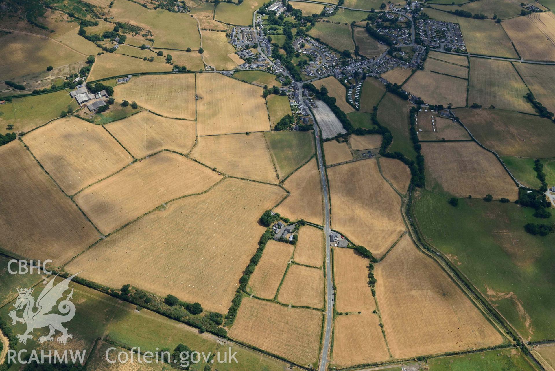
Bryncrug cropmark complex, south-west area, and enclosures to the est of Gwyddelfynydd. Oblique aerial photograph taken during the Royal Commission’s programme of archaeological aerial reconnaissance by Toby Driver on 10 July 2018.
Enw Casgliad
AP - RCAHMW Colour Oblique Digital Aerial Photographs
 Opsiynau lawrlwytho a prynu