Disgrifiad
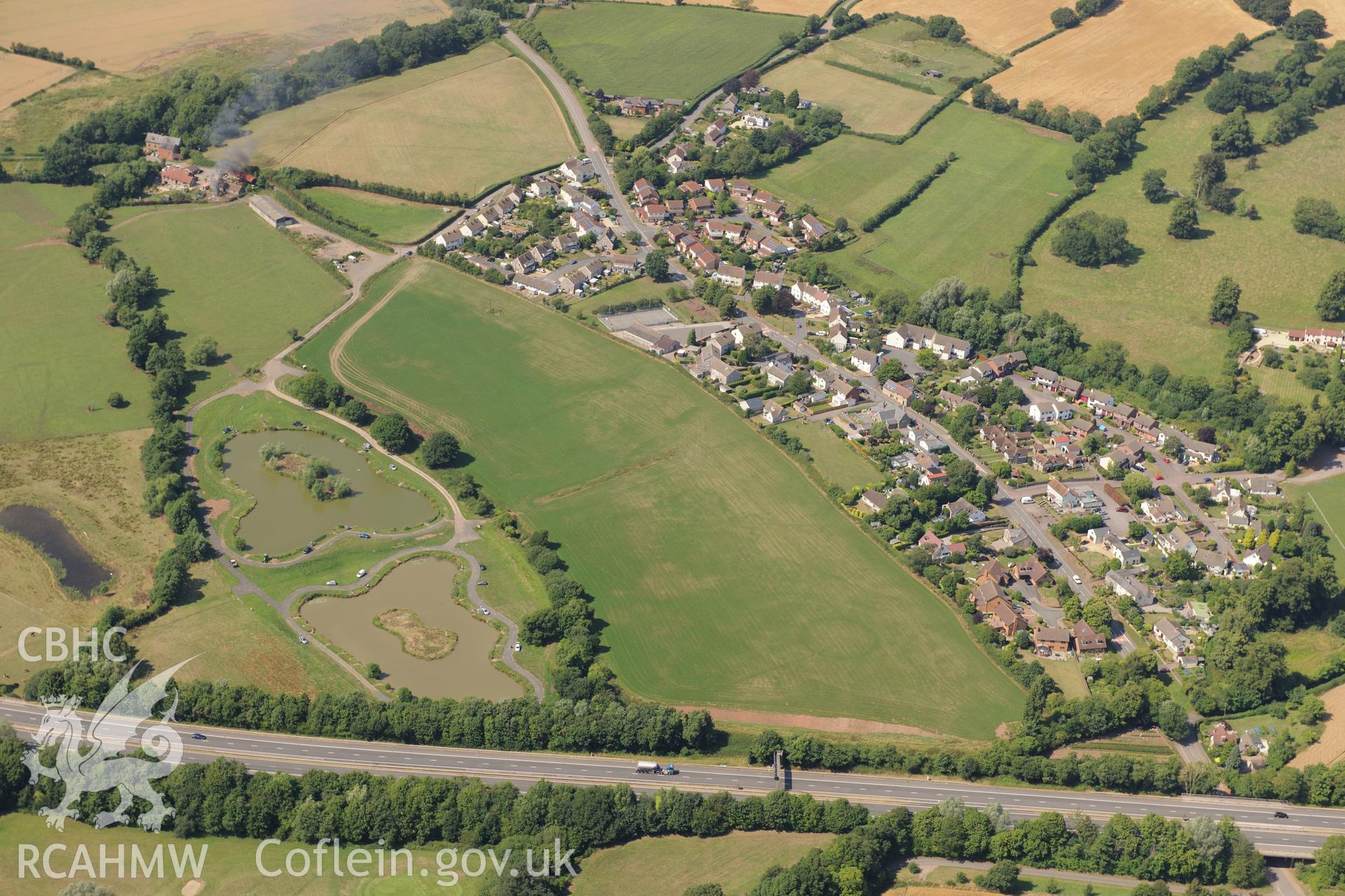
Round barrow cropmarks and the village of Newton Green,south west of Chepstow, with the M48 passing to the south. Oblique aerial photograph taken during the Royal Commission?s programme of archaeological aerial reconnaissance by Toby Driver on 1st August
 Opsiynau lawrlwytho a prynu