Disgrifiad
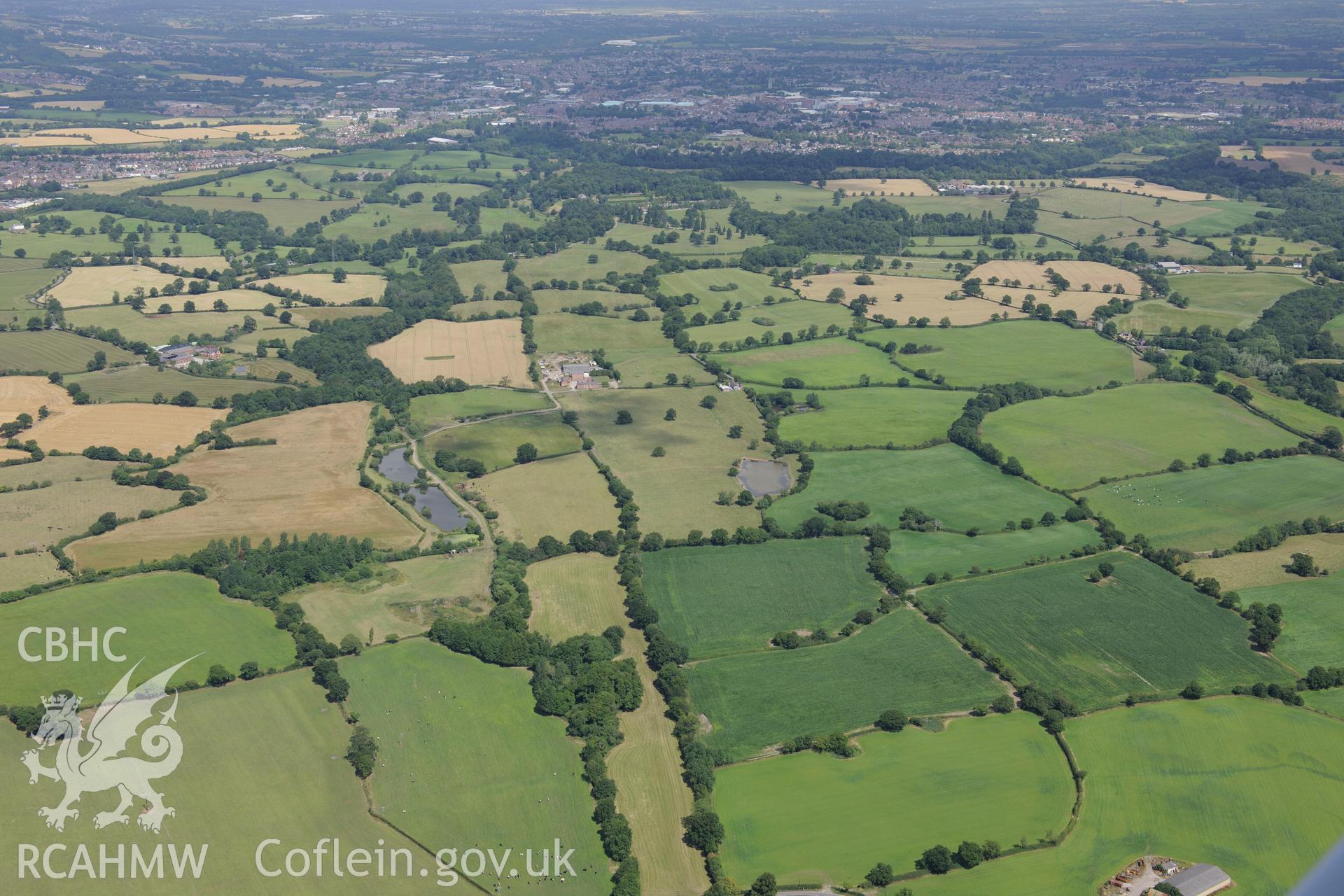
Middle Sontley Farm and the section of Wat's Dyke extending from Middle Sontley to Black Brook Bridge. Oblique aerial photograph taken during the Royal Commission's programme of archaeological aerial reconnaissance by Toby Driver on 30th July 2015.
 Opsiynau lawrlwytho a prynu