English
Beta
Accessibility
Hafan
Amdanom
Chwilio
Orielau
Map
Cymorth
Cysylltwch
Cofnod Archif
Canlyniadau Chwilio
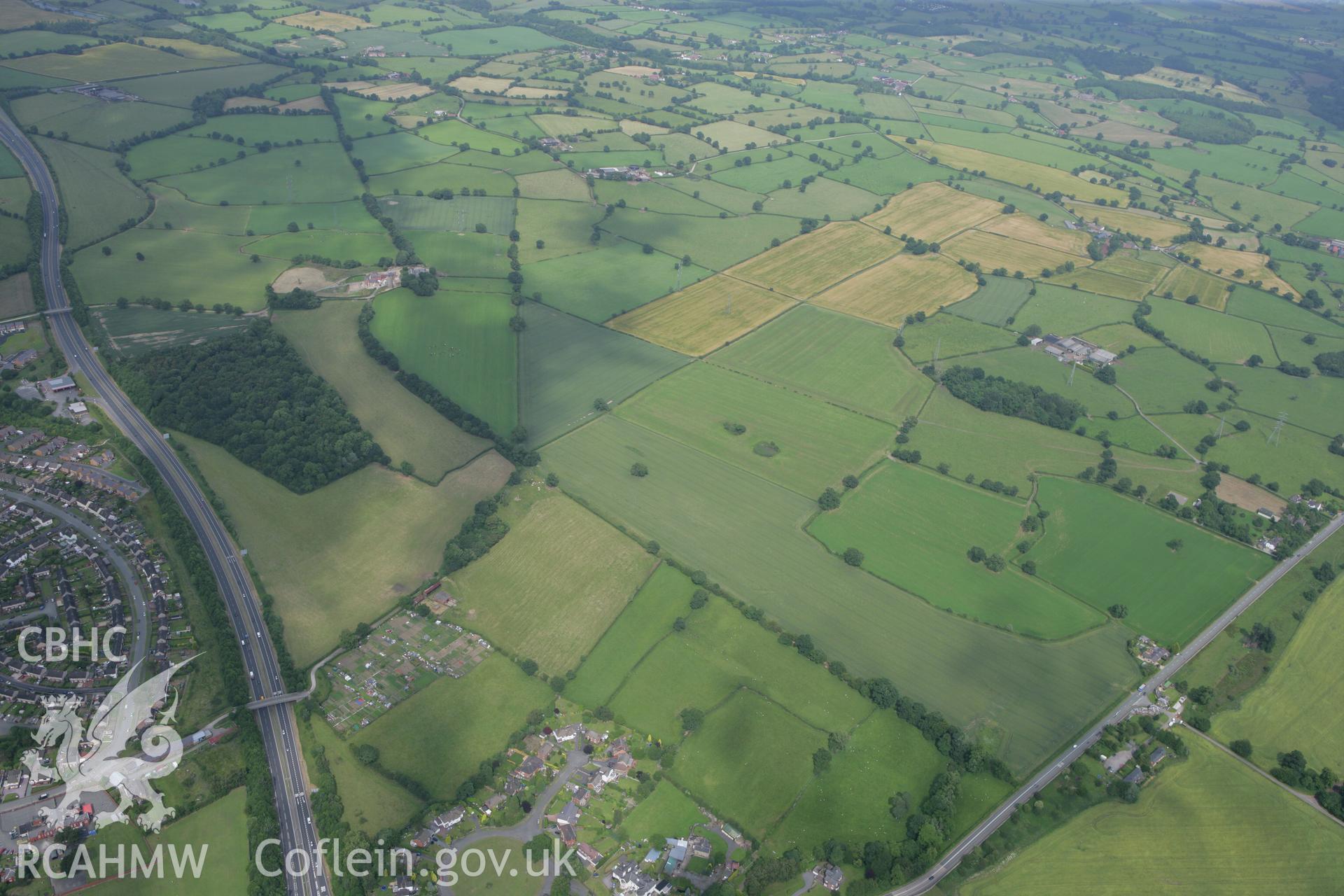
Wat's Dyke: Section Extending From Pentre-Clawdd to Wynnstay Park
AP - RCAHMW Colour Oblique Digital Aerial Photographs
AP_2008_1627 - RCAHMW Colour Oblique Digital Aerial Photographs
Manylion
Hierarchaeth
Safleoedd Cysylltiedig
Rhif Archif
6459140
Disgrifiad
RCAHMW colour oblique photograph of Wat's Dyke, sections from Pentre-Clawdd to Wynnstay Park and from Black-Brook Bridge to Pentre-Clawdd. Taken by Toby Driver on 01/07/2008.
Enw Casgliad
AP - RCAHMW Colour Oblique Digital Aerial Photographs
Cyfrwng
Photo.
Cychwynnwr
Toby G. Driver, RCAHMW
Dyddiad
2008-07-01
Opsiynau lawrlwytho a prynu
 Opsiynau lawrlwytho a prynu